We are in the process of migrating all NASA Earth science data sites into Earthdata from now until end of 2026. Not all NASA Earth science data and resources will appear here until then. Thank you for your patience as we make this transition.
Read about the Web Unification Project
Terra Resources
Terra Learning Resources
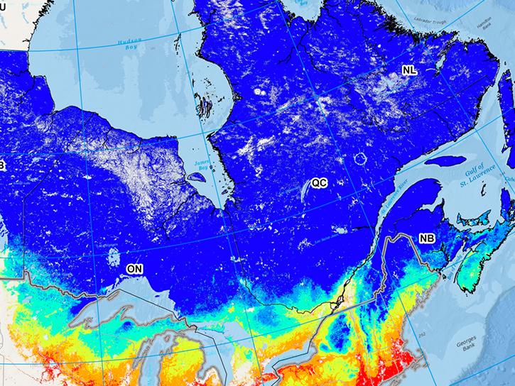
Read highlights of three publications that detail how NASA Earth observation data informs forest structure mapping, disease vector tracking, and mineral identification.
Data in Action
April 26, 2021
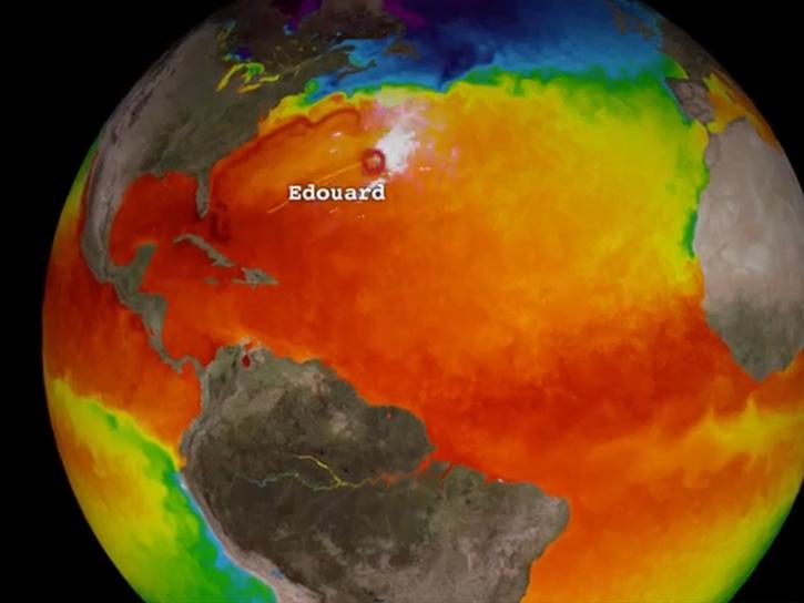
Satellite data reveals the oceanic response to the record-setting season.
Data in Action
March 25, 2021
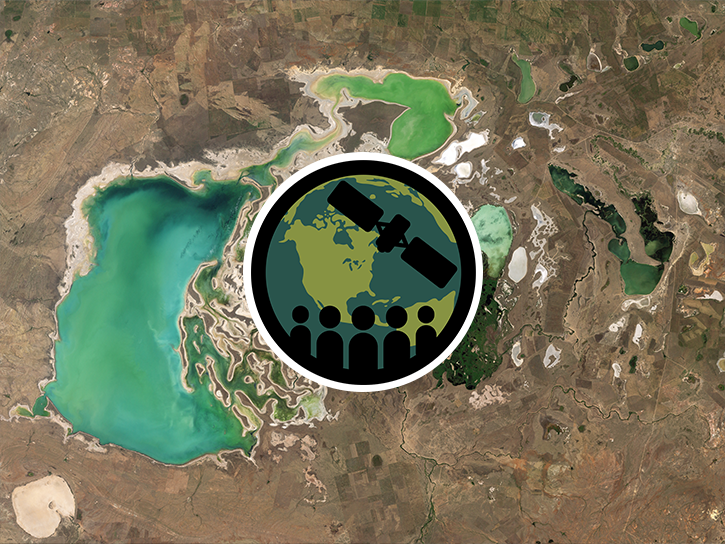
This ARSET training introduces remote sensing observations for monitoring the water level of lakes.
Training
Feb. 9-23, 2021

The webinar introduces satellite remote sensing, radiance conversion, image classification, and geophysical product creation, and more.
Webinar
Jan. 29, 2021
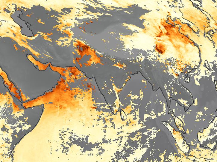
Learn how MODIS data helped researchers assess the impact of pandemic-triggered lockdowns on air pollution in India.
Data in Action
Jan. 4, 2021
Discover how LP DAAC data supports long-term vegetation trend analysis in East Africa and live fuel moisture estimation in fire-prone shrublands of Spain.
Data in Action
Nov. 30, 2020

Discover how a NASA DEVELOP team used NASA Earth science remote sensing data to observe the impacts urban growth has had on the city of Huntsville, Alabama.
Data in Action
Nov. 17, 2020
This ARSET training covers the use of remote sensing in determining and explaining urban heat islands, and ways to mitigate the effects.
Training
Nov. 10-24, 2020
SHOWING 8 OF 235
Terra News
View All News
Filters
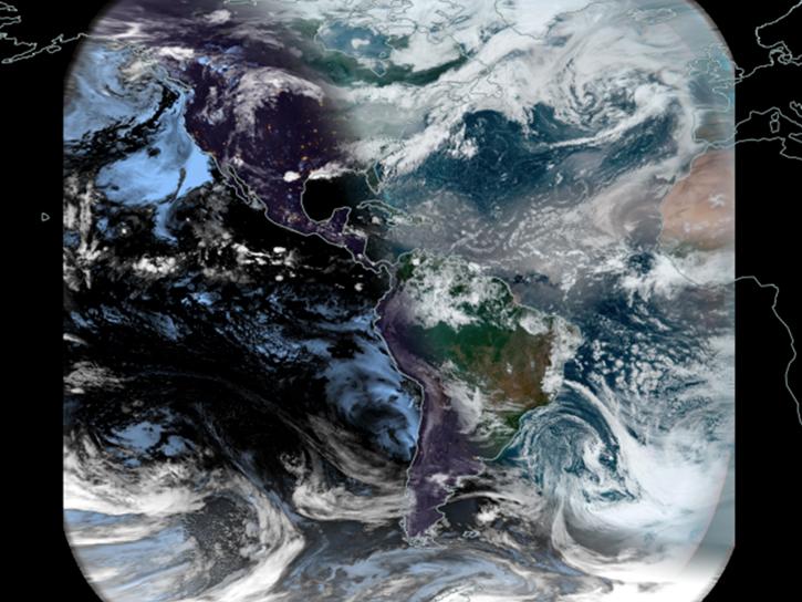
Worldview's latest release, v3.11.0, contains a few new features and imagery layers that we'd like to share with you!
Blog
July 23, 2021
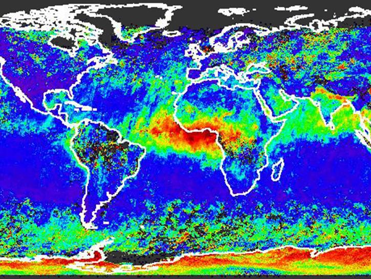
Introducing the New MISR Near Real-Time Aerosol Product
News
July 20, 2021
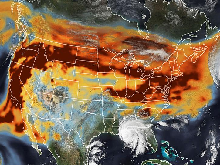
View smoke in FIRMS using Corrected Reflectance Imagery or aerosol indices.
Blog
July 15, 2021
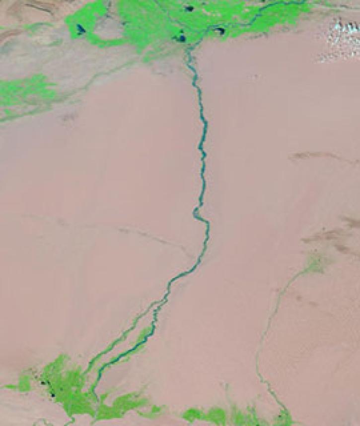
Image captured on 17 August 2020, by the MODIS instrument, aboard NASA's Terra satellite.
Worldview Image of the Week
July 13, 2021
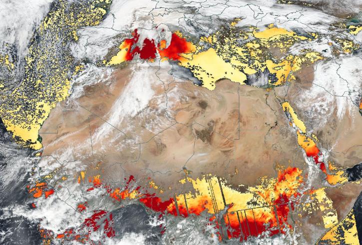
Based on the same MODIS algorithm, the new VIIRS Dark Target Aerosol product provides global satellite-derived measurements of Aerosol Optical Depth and aerosol properties over land and ocean.
News
July 12, 2021
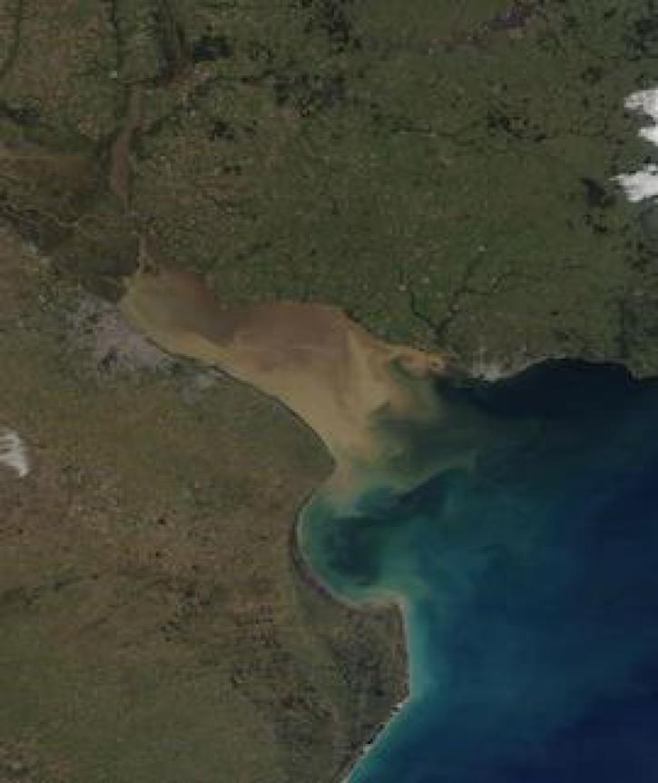
Image captured on 6 July 2021, by the MODIS instrument, aboard the Terra satellite.
Worldview Image of the Week
July 12, 2021

The Time Since Detection classification for MODIS and VIIRS active fire detection is available in the fire map for FIRMS Global and FIRMS US/Canada.
Blog
June 30, 2021

Researchers used field and remote sensing data to map the spread of ticks carrying Lyme disease bacteria in central and eastern Canada.
Feature Article
June 24, 2021
SHOWING 8 OF 450
Frequently Asked Questions
Earthdata Forum
Our online forum provides a space for users to browse thousands of FAQs about research needs, data, and data applications. You can also submit new questions for our experts to answer.
Submit Questions to Earthdata Forumand View Expert Responses