Delivery of Suomi National Polar-orbiting Partnership (Suomi NPP) satellite data products will cease on November 1, 2026. Data users should transition now to alternative products from NOAA-21 and NOAA-20.
Suomi NPP data announcement
Featured Data Tools
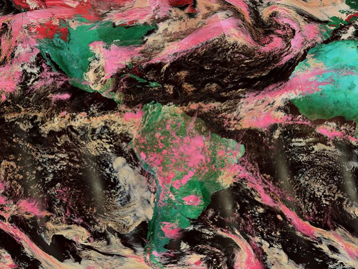
Worldview offers the capability to interactively browse over 1,200 global, full-resolution satellite imagery layers and download the underlying data.
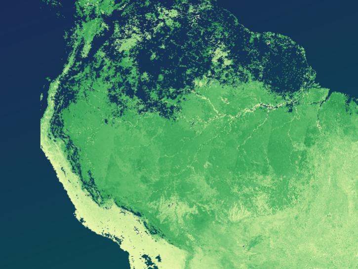
The Application for Extracting and Exploring Analysis Ready Samples (AppEEARS) offers a simple and efficient way to perform data access and transformation processes.
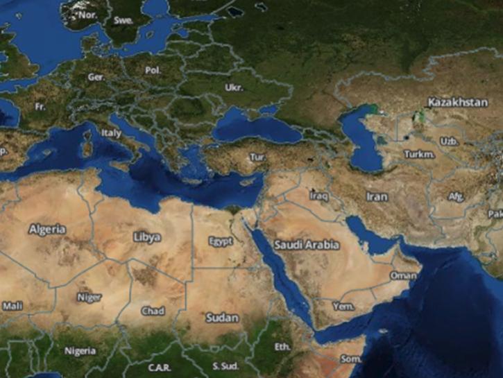
Earthdata Search enables data discovery, search, comparison, visualization, and access across NASA’s Earth science data holdings.
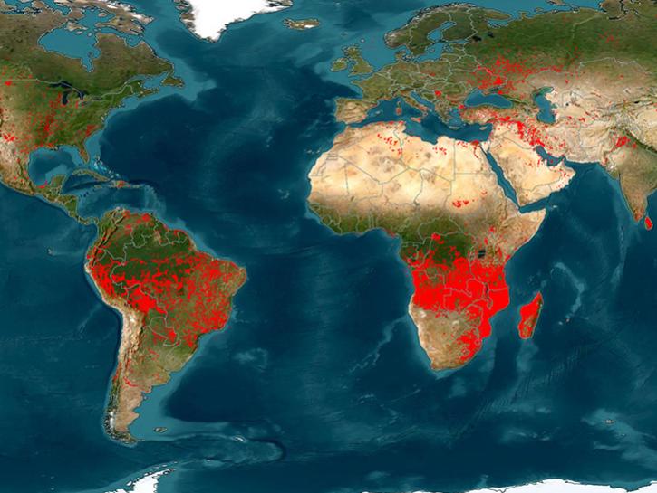
The Fire Information for Resource Management System (FIRMS) provides access to satellite imagery, active fire/hotspots, and related products to identify the location, extent, and intensity of wildfire activity.
Earthdata GIS is a resource for distributing cloud-native, GIS-ready NASA Earth science data and services, including over 200 raster and feature geospatial services as well as resources such as thematic applications and ArcGIS StoryMaps.
Explore All Data Tools
| Tool Sort descending | Description | Services | |
|---|---|---|---|
| Similarity Search | Similarity Search uses machine learning to make it easier for scientists to comb through millions of images and locate sets of similar examples. | Analysis, Search and Discovery, Visualization | |
| SOOT | NASA's Sub-Orbital Order Tool (SOOT) provides users with suborbital field campaign data discovery and download capabilities. | Analysis, Search and Discovery, Visualization | |
| SOTO | State of the Ocean (SOTO) is an interactive web-based tool that generates informative maps, animations, and plots that communicate and prove the discovery and analysis of the state of the oceans. | Analysis, Search and Discovery, Visualization | |
| STREAM | STREAM is a rapid water quality monitoring tool that processes satellite imagery to create maps showing chlorophyll-a, Total Suspended Solids, and water clarity at 20-30 meter resolution. | Processing | |
| SWODLR | SWODLR is an open-source software system developed to generate custom Level 2 raster data products from data acquired by the SWOT platform. | Visualization, Customization | |
| SWOT Swath Visualizer | The Surface Water and Ocean Topography (SWOT) Swath Visualizer provides a visualization of two instruments’ coverage of Earth's surface: the Ka-band Radar Interferometer and altimeter. | Analysis, Data Curation, Visualization | |
| TESViS | The Terrestrial Ecology Subsetting & Visualization Services Global Subsets Tool provides on-demand, customized subsets of several terrestrial ecology data products. | Visualization, Subsetting | |
| TOLNet | NASA's Tropospheric Ozone Lidar Network (TOLNet) provides ground-based profiling of tropospheric ozone. | Analysis, Search and Discovery, Visualization | |
| VEDA | NASA's Visualization, Exploration, and Data Analysis (VEDA) project is an open-source science cyberinfrastructure for data processing, visualization, exploration, and geographic information systems (GIS) capabilities. | Access, Analysis, Processing, Visualization, Geoprocessing | |
| Vertex | Vertex is a graphical search interface for finding synthetic aperture radar (SAR) data. | Search and Discovery, Access, Downloading, Processing, Subsetting |
SHOWING 10 OF 83