Delivery of Suomi National Polar-orbiting Partnership (Suomi NPP) satellite data products will cease on November 1, 2026. Data users should transition now to alternative products from NOAA-21 and NOAA-20.
Suomi NPP data announcement
Webinars
Our online webinars, trainings, and workshops feature experts in various disciplines who share their knowledge in a particular subject area, from data in the cloud to specific data tools.
Featured Webinars
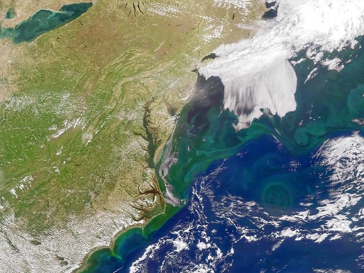
Learn about NASA’s Plankton, Aerosol, Cloud, ocean Ecosystem (PACE) mission, its data products and capabilities for terrestrial remote sensing, and how to explore the data through AppEEARS.
Sept. 23, 2026,1:00-2:00 p.m. EDT(1700-1800 UTC)
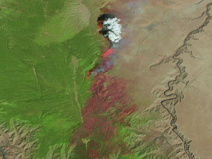
Learn how the Fire Information for Resource Management System (FIRMS) uses timely composite imagery to identify fire fronts, burned areas, and smoke.
July 16, 2026,2:00-3:30 p.m. EDT(1800-1930 UTC)
Diane Fritz, an associate scientist at NSIDC DAAC, demonstrates how to use the harmony-py Python library to customize data requests from the NASA Earthdata Cloud.
June 2, 2026,3:00-3:30 p.m. EDT(1900-1930 UTC)
Filters

The NASA Application for Extracting and Exploring Analysis Ready Samples (AppEEARS) brings efficiency to your scientific workflow through its ability to subset, reformat, and reproject Earth science data in one step. Tune in to learn more!
Oct. 19, 2017,2:00 p.m. EDT(1800 UTC)
During this webinar, we will provide an overview of the netCDF data format and show participants how to open, read, write and plot data that is in the netCDF format. The use case will focus on the Daymet meteorological variables data product.
Aug. 30, 2017,2:00 p.m. EDT(1800 UTC)
Join us to learn more about Global Navigation Satellite System (GNSS) radio occultation science and applications! We will highlight science impacts in the areas of numerical weather prediction, forecasting cyclone genesis, and space weather.
July 19, 2017,2:00 p.m. EDT(1800 UTC)

The NASA climate reanalysis dataset from MERRA-2 and the Land Data Assimilation System (LDAS) datasets, contains numerous data for atmosphere, land, and ocean. Join us to learn how to access and visualize these data!
June 28, 2017,2:00 p.m. EDT(1800 UTC)
NASA's Ocean Biology Distributed Active Archive Center (OB.DAAC) manages, archives and distributes nearly 40 years of ocean color, sea surface temperature, and sea surface salinity data. Join us to learn how to discover and access these data!
May 22, 2017,2:00 p.m. EDT(1800 UTC)

Want to learn how to use R and Python to work with remote sensing data? Join us as we demonstrate how to perform basic data preparation, processing, computation, and visualization techniques using ASTER and VIIRS Surface Reflectance data.
April 27, 2017,2:00 p.m. EDT(1800 UTC)
Two fundamental ways to use Earth remote sensing data are to examine anomalies and to monitor change. During this webinar we will show you how to generate difference maps with NASA Giovanni, Panoply and Excel. Join us to learn more!
April 5, 2017,2:00 p.m. EDT(1800 UTC)

Join us as we show new and experienced users how to use Vertex to discover and access Sentinel-1 synthetic aperture radar (SAR) data at NASA's Alaska Satellite Facility (ASF) Distributed Active Archive Center (DAAC).
Feb. 22, 2017,2:00 p.m. EST(1900 UTC)
SHOWING 8 OF 206