We are in the process of migrating all NASA Earth science data sites into Earthdata from now until end of 2026. Not all NASA Earth science data and resources will appear here until then. Thank you for your patience as we make this transition.
Read about the Web Unification Project
Data in Action
All across the planet, NASA Earth science data are used to meet real-world challenges.
Featured Data in Action

5 MIN READ
The eBird project uses NASA data and observations from amateur birdwatchers to provide insights into the decline in avian populations throughout North America.
June 17, 2025

5 MIN READ
A comparison of aurora forecasts with actual satellite observations suggests VIIRS DNB data can enhance space weather prediction efforts.
May 30, 2025
Filters
2 MIN READ
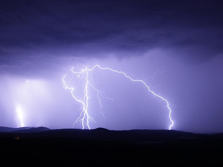
NASA's Global Hydrology Resource Center Distributed Active Archive Center (GHRC DAAC) has released 10 different gridded lightning climatology datasets.
Oct. 19, 2018
2 MIN READ
NASA climatology datasets have revealed Lake Maracaibo, Venezuela, as the peak lightning hotspot on Earth.
Oct. 19, 2018
2 MIN READ
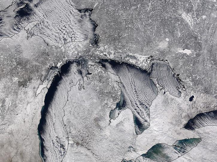
Studying the mechanics of lake effect snow helps researchers better understand water/land contrasts across snowfall bands.
Oct. 19, 2018
3 MIN READ
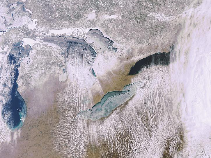
What is the 3D structure of falling snow and how does its variability affect remotely sensed retrievals?
Oct. 19, 2018

4 MIN READ
This study analyzes 23,000 globally distributed wildfire smoke plume injection heights from MISR, stratified by region, biome, and month or season.
Oct. 10, 2018

5 MIN READ
Learn how scientists have used remote sensing data to support fish conservation in remote regions of Alaska.
Sept. 26, 2018

3 MIN READ
In Spring 2018, DEVELOP researchers used MODIS data to develop a mosquito tracking model to help prevent vector-borne diseases in Western Europe.
Aug. 29, 2018
6 MIN READ
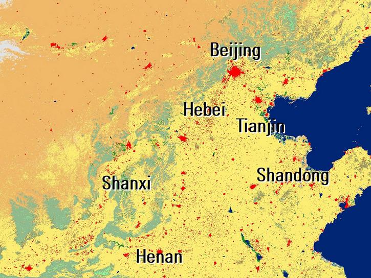
Explore how NASA's data provide critical insights into curbing China's dust, mapping Antarctic geology, and understanding Australian grasslands through these publication highlights.
July 25, 2018
SHOWING 8 OF 186