Delivery of Suomi National Polar-orbiting Partnership (Suomi NPP) satellite data products will cease on November 1, 2026. Data users should transition now to alternative products from NOAA-21 and NOAA-20.
Suomi NPP data announcement
Filters

To celebrate GIS Day, take a peek at these illuminating examples of NASA Earth Science leveraging Geographic Information Systems (GIS) to understand our home planet.
News
Nov. 20, 2024
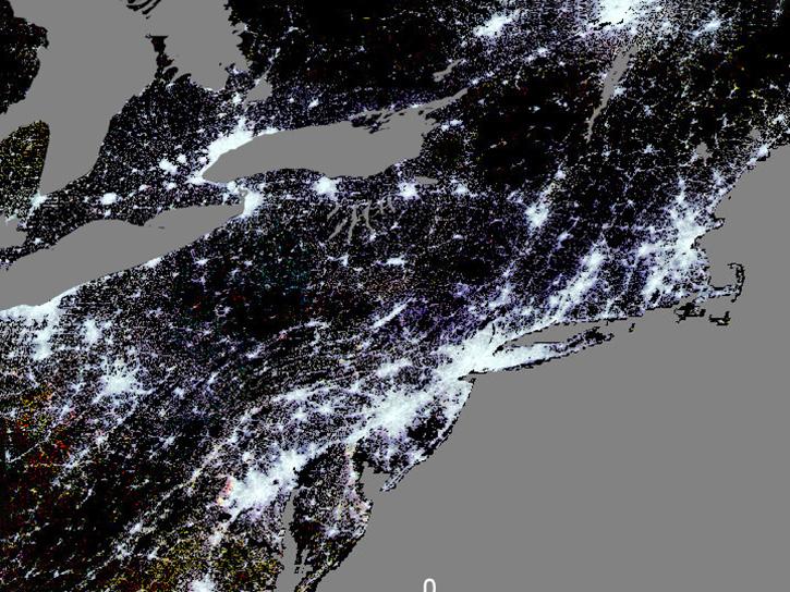
Join us on Wed., December 4, 2024, at 2 PM ET (-05:00 UTC) to learn about urban datasets at NASA's Socioeconomic Data and Applications Center (SEDAC).
Webinar
Nov. 19, 2024
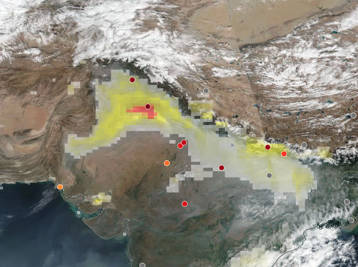
Base corrected reflectance image acquired on Nov 12, 2024, with aerosol index overlaid with ground-based aerosol optical depth measurements.
Worldview Image of the Week
Nov. 14, 2024
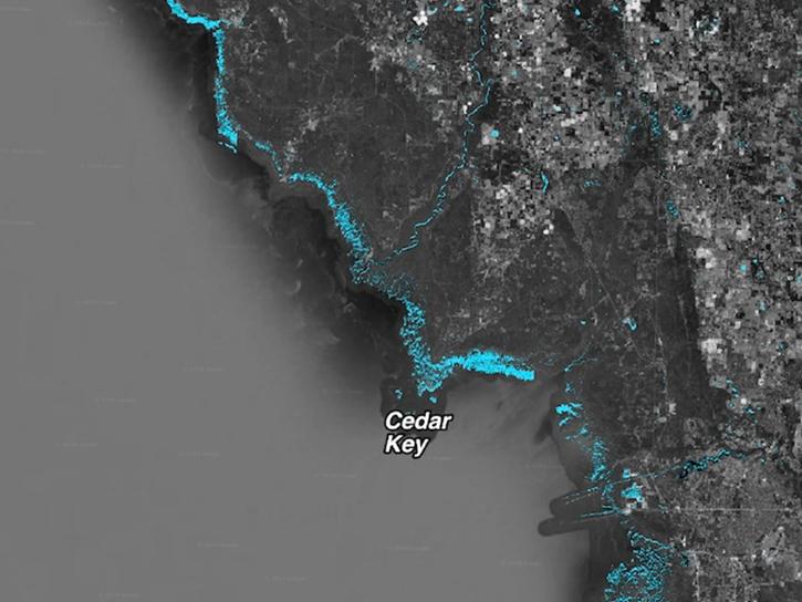
When natural disasters occur, NASA's Disaster Response Coordination System works to deliver data to stakeholders that can be used to guide decision-making.
Data in Action
Nov. 8, 2024
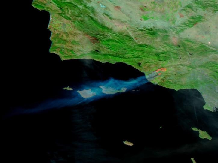
Image captured on Nov 6, 2024, by the VIIRS instrument aboard the NOAA-20 platform.
Worldview Image of the Week
Nov. 7, 2024
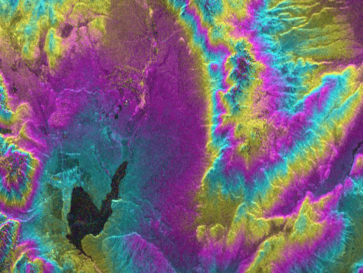
As an expert in interferometric synthetic aperture radar (InSAR), Dr. Bekaert is on the cutting edge of data science.
Data User Story
Nov. 7, 2024
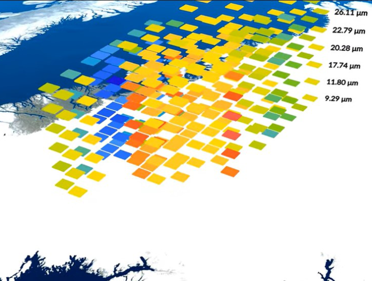
A summary of datasets, products, and resources released by NASA’s Distributed Active Archive Centers (DAACs) in October 2024.
News
Nov. 4, 2024

Join NASA's Aerosol Cloud Meteorology Interactions Over the Western Atlantic Experiment (ACTIVATE) team for a workshop about this airborne field campaign and its data.
Event
Nov. 4, 2024
SHOWING 8 OF 2406