Delivery of Suomi National Polar-orbiting Partnership (Suomi NPP) satellite data products will cease on November 1, 2026. Data users should transition now to alternative products from NOAA-21 and NOAA-20.
Suomi NPP data announcement
Featured Projects
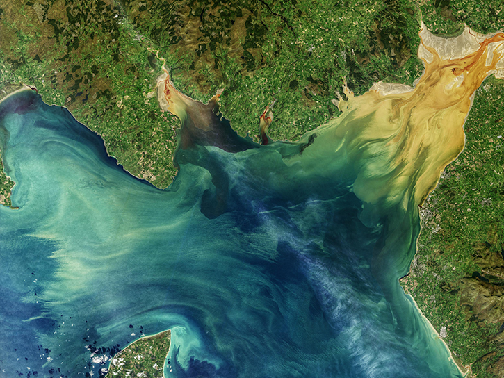
NASA's Applied Remote Sensing Training (ARSET) program teaches people to use Earth-observing data in their environmental management and decision-making.

At night, satellite images of Earth capture a uniquely human signal—artificial lighting. Remotely-sensed lights at night improve our understanding of interactions between human systems and the environment.
Explore All Projects
Filters
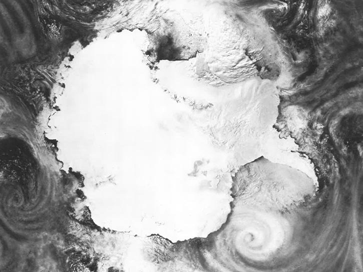
The main goal of AAOE was to perform a complex study of polar stratospheric clouds and their relation to the late winter and spring ozone loss over the Antarctic (the ozone hole).
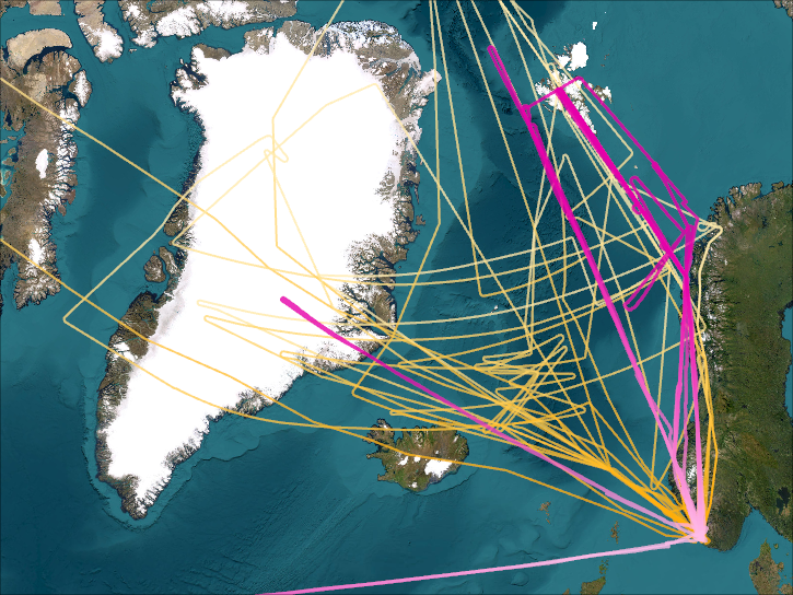
AASE's primary goal was to study the production and loss mechanism of ozone in the north polar stratospheric environment.
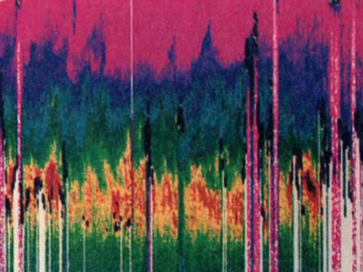
ABLE-2 quantified atmospheric trace gases’ sources, sinks, and distribution and characterized atmospheric chemical processes throughout the troposphere.
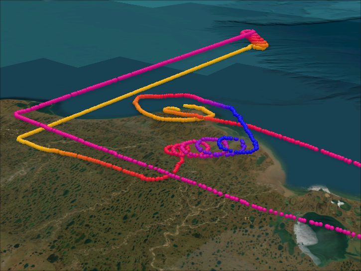
ABLE-3 was designed to survey two different high-latitude ecosystems over summer months, focusing on understanding the “early warning” response of a near-surface, organic active layer to climate variability.
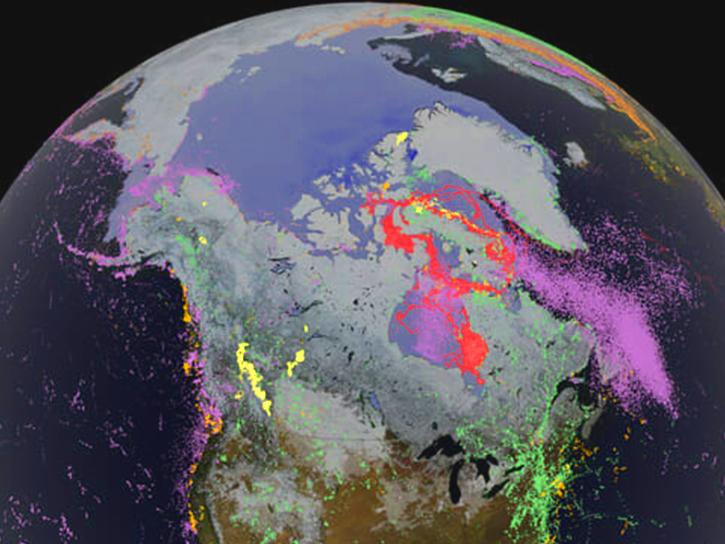
NASA's Arctic-Boreal Vulnerability Experiment (ABoVE) field campaign linked field-based studies with geospatial data products derived from airborne and satellite sensors, helping researchers better understand climate change in the Arctic and boreal regions.
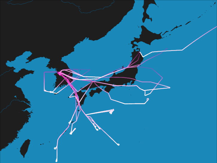
ACCLIP was an international suborbital campaign to study aerosols and chemical transport that are associated with the Asian Summer Monsoon.
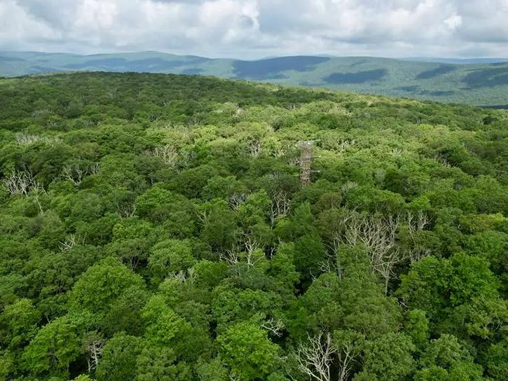
ACCP aimed to determine whether remote sensing tools could properly estimate nitrogen and lignin concentrations in ecosystem canopies.
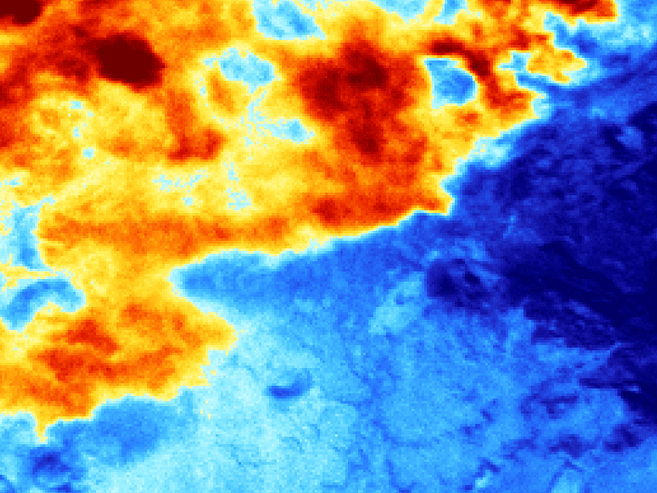
The ACEPOL campaign performed aerosol and cloud measurements over the United States from the NASA high altitude ER-2 aircraft.
SHOWING 8 OF 206