
Explore NASA Earth Data

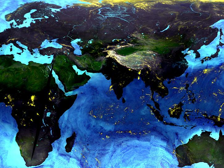
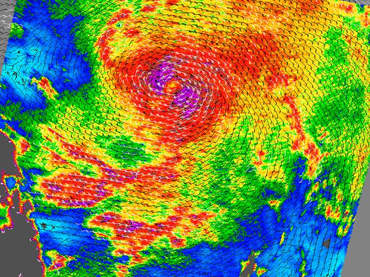
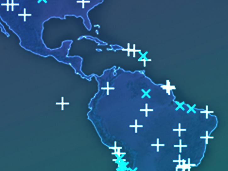
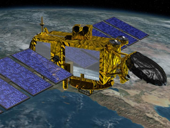
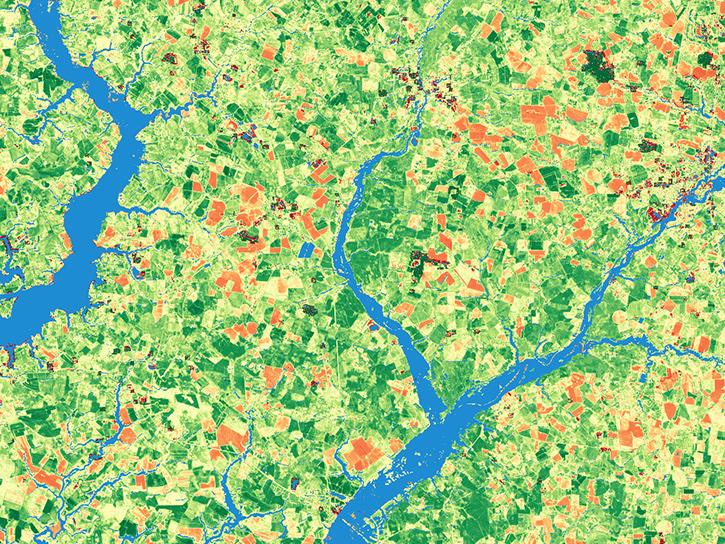
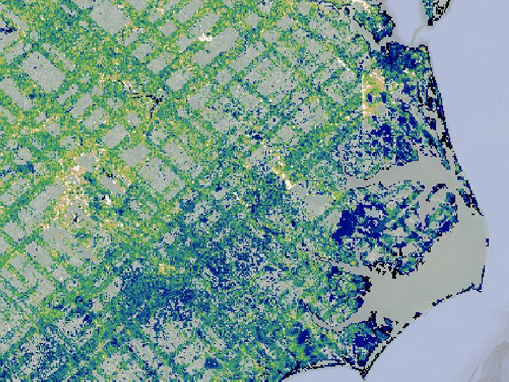
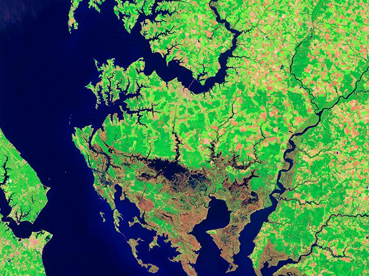
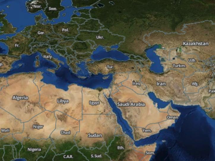
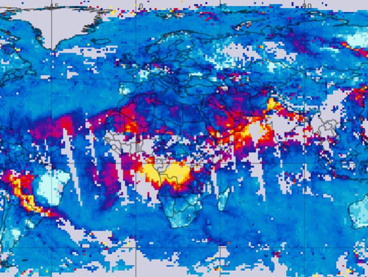
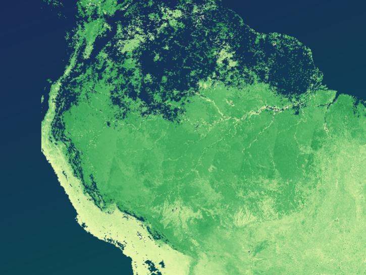
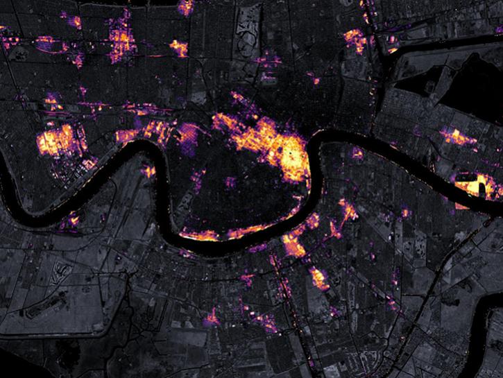
Our data span the breadth of Earth science disciplines and cover even the most remote areas of the planet, providing measurements of Earth’s atmosphere, ocean, land, and cryosphere; assessments about how humans interact with the environment; and assessments of calibrated radiance and solar radiance. These measurements help us better understand climate change, severe weather, sea ice and glaciers, hazards and disasters, health and air quality, ecology, and water resources.

Get Started

Are you new to NASA Earth science data and need a boost? Check out all of our learn resources.

Join Our Community of NASA Data Users

While NASA data are openly available without restriction, an Earthdata Login is required to download data and to use some tools with full functionality.

Learn About the Benefits of Earthdata Login

Earthdata Developer Portal

Access Data
by API

Earthdata provides a variety of application programming interfaces (APIs) to search, access, and browse NASA Earth science data from the command line.

Explore APIs

Frequently Asked Questions

Earthdata Forum

Our online forum provides a space for users to browse thousands of FAQs about research needs, data, and data applications. You can also submit new questions for our experts to answer.

Submit Questions to Earthdata Forumand View Expert Responses

Earthdata
Forum