Delivery of Suomi National Polar-orbiting Partnership (Suomi NPP) satellite data products will cease on November 1, 2026. Data users should transition now to alternative products from NOAA-21 and NOAA-20.
Suomi NPP data announcement
Filters
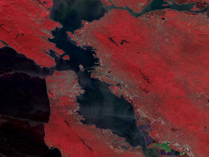
The TiTiler-CMR service generates dynamic, on-demand map tile layers that can be incorporated into GIS software and visualization applications. Two NASA mapping applications – Worldview and FIRMS – have harnessed the versatility of this service.
Feature Article
April 29, 2026
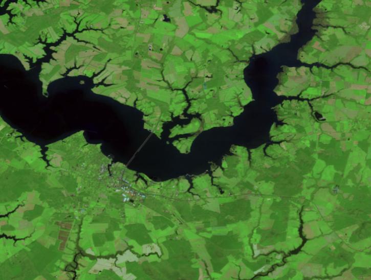
Create your own Harmonized Landsat Sentinel 2 (HLS) image composite or select from a preset list.
Tutorial
April 29, 2026
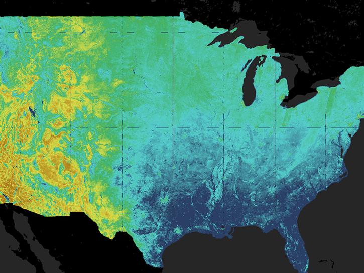
The Satellite Needs Working Group (SNWG) works to identify and address the Earth observation needs of civilian federal agencies. SNWG is launching its latest biennial survey to identify needs, while also reporting progress on previous solutions.
Feature Article
April 27, 2026
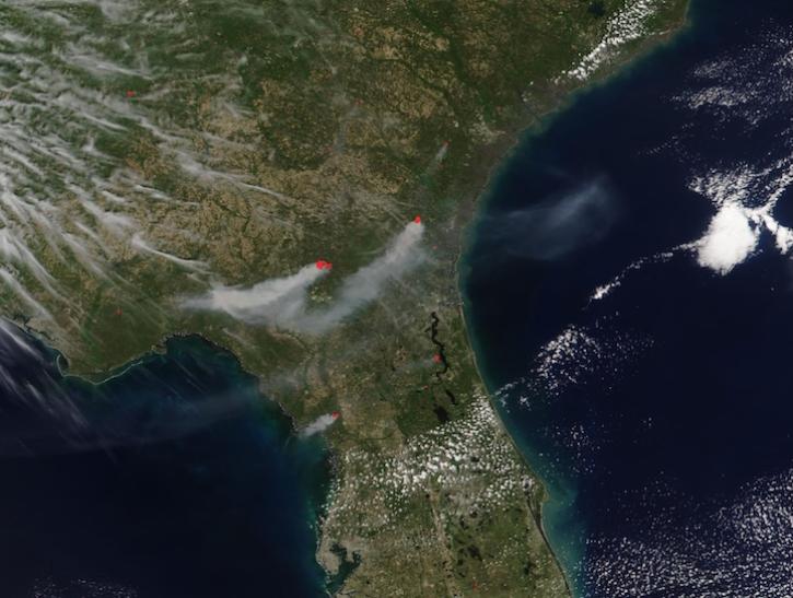
The VIIRS instrument aboard the NOAA-21 platform captured this image on April 21, 2026.
Worldview Image of the Week
April 24, 2026
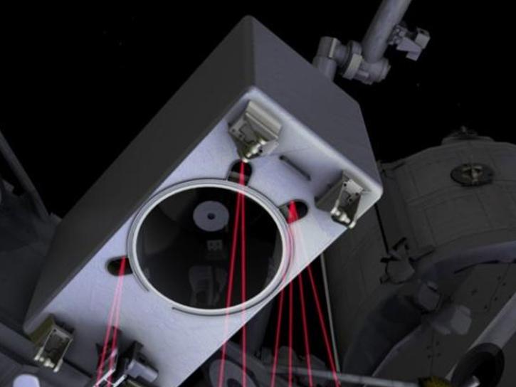
This NASA ARSET training program teaches participants to process data from the Global Ecosystems Dynamics Investigation (GEDI) instrument in the Online Biomass Inference using Waveforms and iNventory (OBIWAN) API to map vegetation structure.
Feature Article
April 22, 2026

Data overlays from Worldview show precipitation rates and sea surface temperatures in mid-April 2026, as the storm moved across the western Pacific.
Worldview Image of the Week
April 17, 2026
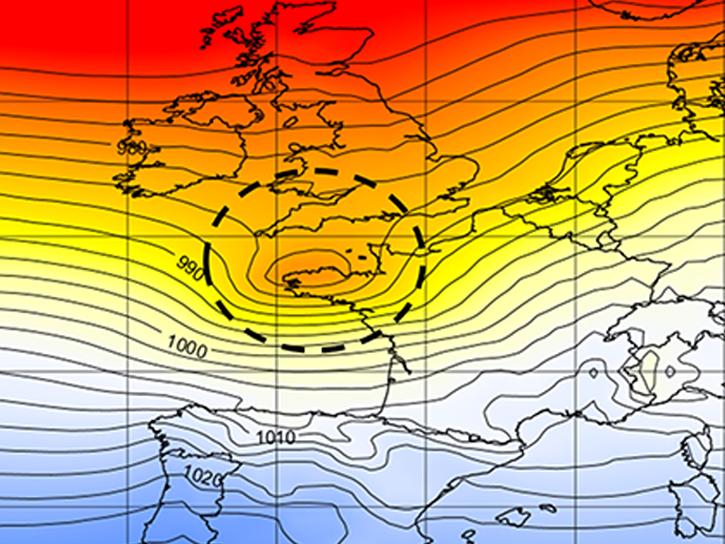
We used data from the Modern-Era Retrospective analysis for Research and Applications, Version 2 (MERRA-2) to re-examine back-to-back December 1999 storms.
Blog
April 14, 2026

NASA significantly enhanced its MODIS and VIIRS near real-time flood products, enabling users to distinguish between unusual and recurring flooding.
Blog
April 10, 2026
SHOWING 8 OF 2400