Delivery of Suomi National Polar-orbiting Partnership (Suomi NPP) satellite data products will cease on November 1, 2026. Data users should transition now to alternative products from NOAA-21 and NOAA-20.
Suomi NPP data announcement
Filters

OPERA's dynamic surface water extent layer and Landsat images show extremely low water levels in this Arizona reservoir in June 2026.
Worldview Image of the Week
June 29, 2026
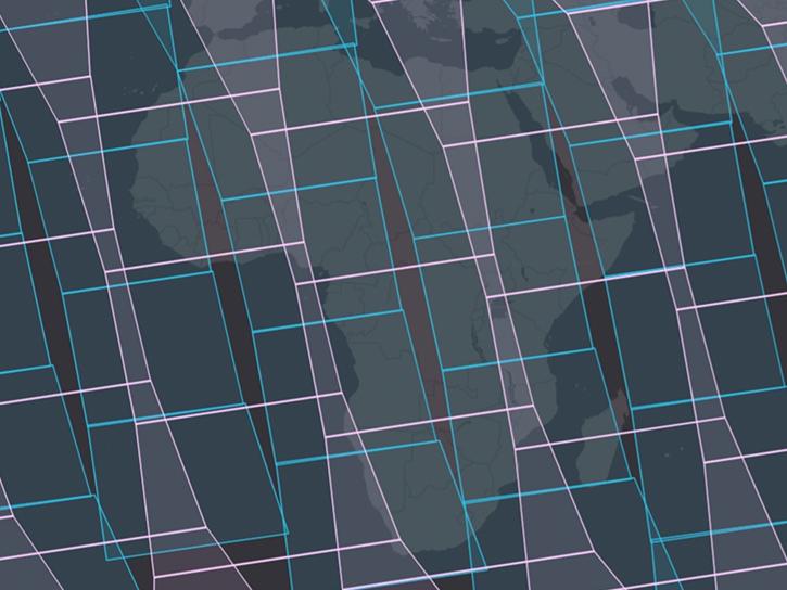
NASA's Fire Information for Resource Management System now provides swath outlines, showing the extent of Earth's surface within view of a sensor.
Blog
June 25, 2026
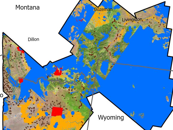
USGS researchers found NASA’s imaging spectroscopy satellite data could significantly improve identification of vegetation types across rangelands.
News
June 25, 2026

The VIIRS instrument aboard NOAA-20 captured these images of fires near the Yenisei River.
Worldview Image of the Week
June 17, 2026
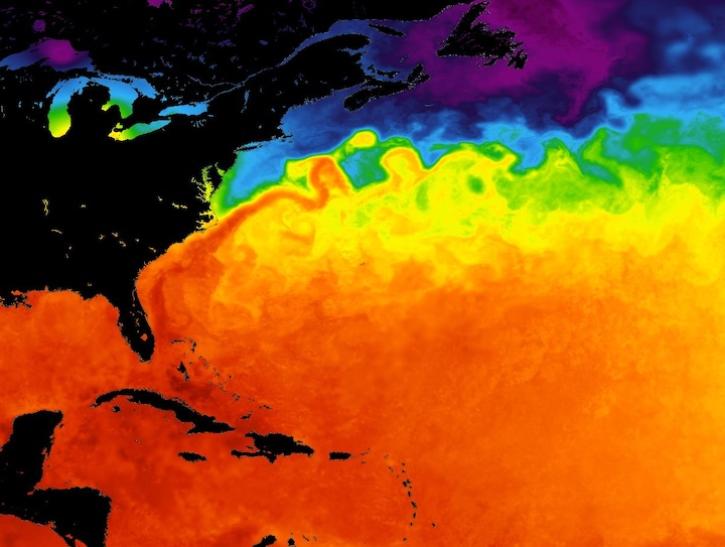
Major ocean current systems are revealed by these sea surface temperature images from June 10, 2026.
Worldview Image of the Week
June 12, 2026
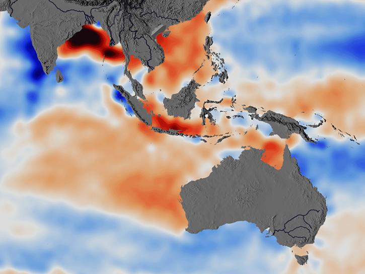
Researchers used ECCO data to understand the mechanisms behind changes in salinity of the Southeast Indian Ocean.
Data in Action
June 5, 2026

The first named storm of the hurricane season appears in this nighttime image from June 3, 2026.
Worldview Image of the Week
June 5, 2026
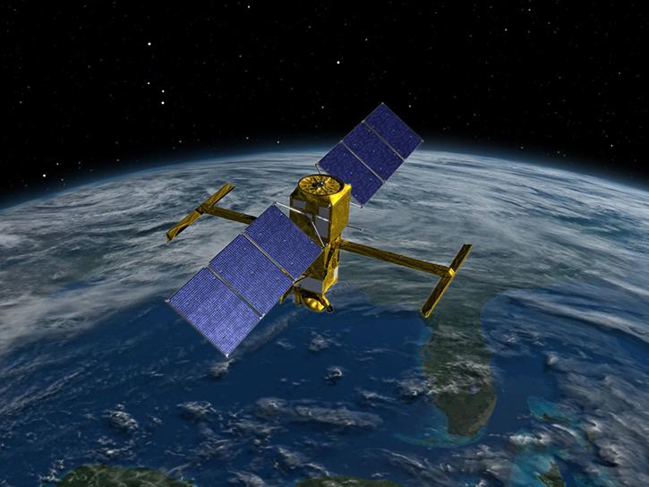
This virtualized data representation of the SWOT version D Basic time series allows users to access and download only the parts they want.
News
June 5, 2026
SHOWING 8 OF 2400