Delivery of Suomi National Polar-orbiting Partnership (Suomi NPP) satellite data products will cease on November 1, 2026. Data users should transition now to alternative products from NOAA-21 and NOAA-20.
Suomi NPP data announcement
Trainings
Go from introductory knowledge in remote sensing to applied applications in hydrology, land cover change, or wildfire management. Trainings are designed to meet the user where they are in interest and skill level.
Featured Trainings
This ARSET training shows users how to detect and monitor flash droughts using OCO-2 Solar-Induced Fluorescence (SIF) and SMAP soil moisture satellite observations.
Training
Sept. 24-29, 2026
This ARSET training provides an overview of TEMPO aerosol products for air quality applications using NOAA's AerosolWatch website.
Training
Oct. 13-15, 2026
Esta capacitación de ARSET demuestra el uso de datos de NISAR y productos de aguas superficiales de OPERA para detectar, mapear y monitorear aguas superficiales.
Training
Oct. 20-27, 2026

Fundamentos de la Teledetección ofrece una introducción a los principios científicos de la teledetección satelital.
Training
Ongoing
Filters
This ARSET training provides demonstrations and hands-on experience in using NASA remote sensing observations and flood mapping tools.
Training
March 16 - April 6, 2016
This ARSET training covers how to acquire, use, and derive NDVI imagery from Landsat and MODIS.
Training
Feb. 10 - March 2, 2016
This ARSET training introduces NASA data products for water resources.
Training
Oct. 13 - Nov. 10, 2015
This ARSET training provides presentations and hands-on activities about NASA remote sensing missions that are relevant to wildfire applications.
Training
Oct. 6-8, 2015
This ARSET training covers specific details on datasets, available tools, and various methods used to address particulate matter air quality.
Training
Oct. 1-22, 2015
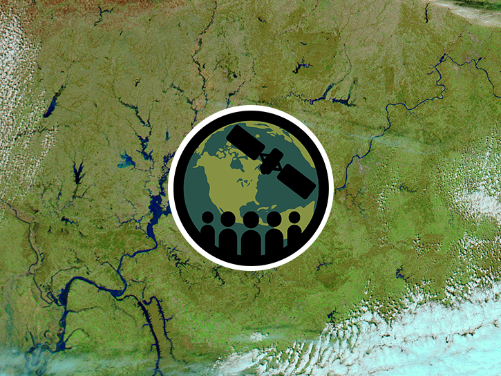
This ARSET training introduces remote sensing resources available for monitoring extreme precipitation and flooding as well as flood mapping tools.
Training
June 8-28, 2015
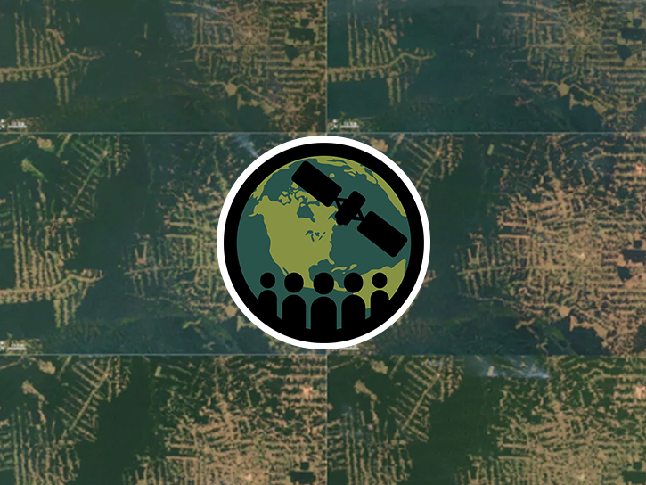
This ARSET training focuses on regional and global observation resources for conservation management.
Training
May 5 - June 2, 2015
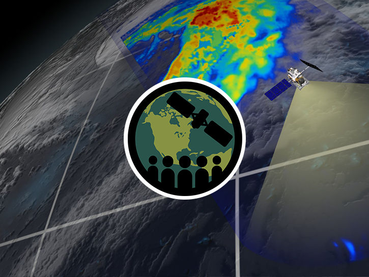
This ARSET training introduces participants to data and applications of the Global Precipitation Measurement mission.
Training
March 17-31, 2015
SHOWING 8 OF 224