Delivery of Suomi National Polar-orbiting Partnership (Suomi NPP) satellite data products will cease on November 1, 2026. Data users should transition now to alternative products from NOAA-21 and NOAA-20.
Suomi NPP data announcement
Trainings
Go from introductory knowledge in remote sensing to applied applications in hydrology, land cover change, or wildfire management. Trainings are designed to meet the user where they are in interest and skill level.
Featured Trainings
This three-part ARSET training covers flood monitoring via remote sensing, NASA flood products, and GEOGLOWS streamflow predictions.
3 MIN READ
Esta capacitación de ARSET ofrece una introducción a la misión NISAR, enfocándose en las características de la misión y sus datos, así como en la demostración de flujos de trabajo para el acceso, la visualización y el análisis de datos para una variedad de aplicaciones.
5 MIN READ
This ARSET training introduces key concepts in species distribution modeling and provides example workflows in Google Earth Engine.
3 MIN READ
Esta capacitación cubre las metodologías teóricas y los conjuntos de datos clave para la estimación de PM2.5 histórico a partir de la profundidad óptica de aerosoles.
4 MIN READ
Filters
Esta capacitación de ARSET cubre técnicas para utilizar radar de apertura sintética (SAR) en aplicaciones para desastres, agua y cobertura terrestre.
Training
Aug. 7-16, 2018
This ARSET training covers how to access, interpret, and apply earth observations, with a focus on SDG monitoring and reporting.
Training
July 30-31, 2018
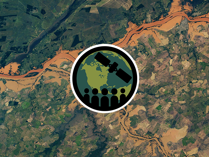
This ARSET training focuses on areas of urban flooding that satellite data can track, including extreme precipitation and waterlogged and ponded surfaces.
Training
July 25 - Aug. 1, 2018
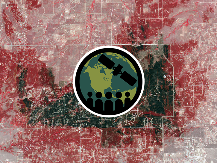
This ARSET training highlights satellite remote sensing data useful for local fire managers.
Training
July 12-19, 2018
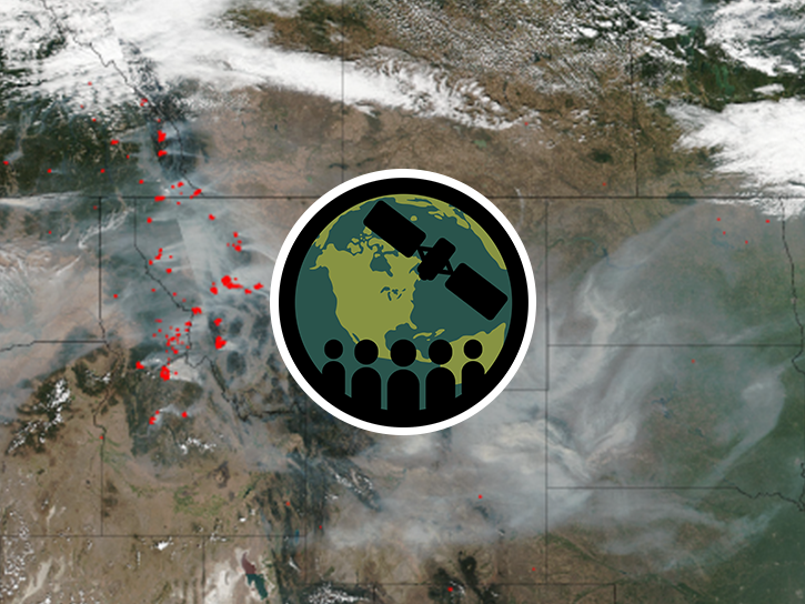
This ARSET training covers available satellite data, products, and tools, and how to apply them to identify, track, and measure an air quality event.
Training
July 10-12, 2018
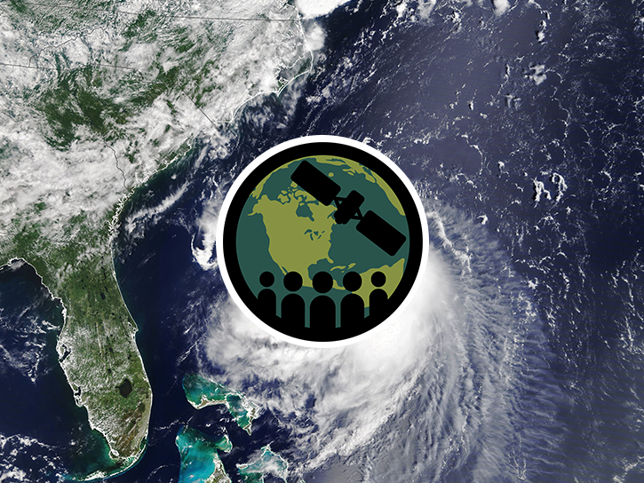
This ARSET training covers the NASA data and tools useful for monitoring tropical storms.
Training
May 3-10, 2018
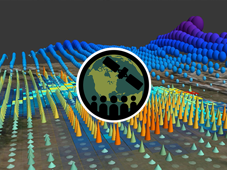
This ARSET training introduces the Variable Infiltration Capacity Model, sources of satellite-derived input data, and implementation of the model.
Training
Feb. 15 - March 1, 2018
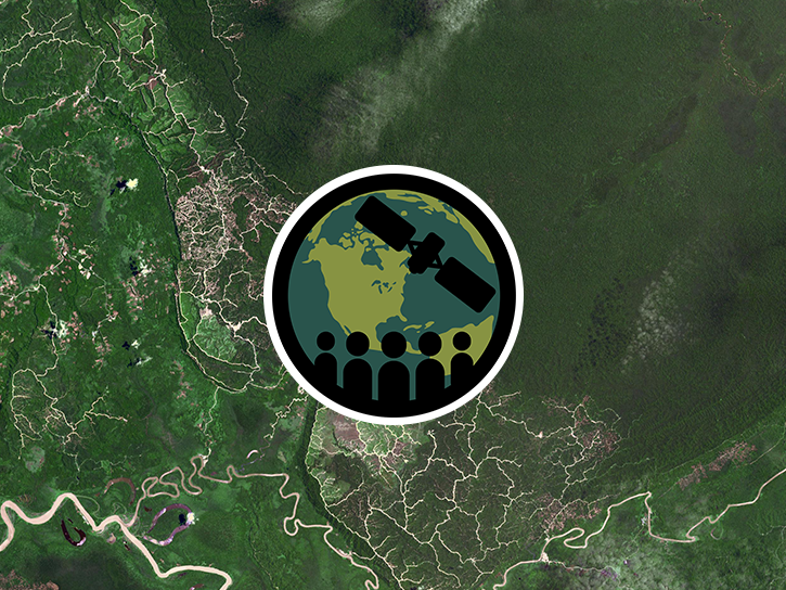
This ARSET training covers how to conduct an accuracy assessment on a land cover map and identify which classes might be misrepresented.
Training
Feb. 13-20, 2018
SHOWING 8 OF 221