We are in the process of migrating all NASA Earth science data sites into Earthdata from now until end of 2026. Not all NASA Earth science data and resources will appear here until then. Thank you for your patience as we make this transition.
Read about the Web Unification Project
Webinars
Our online webinars, trainings, and workshops feature experts in various disciplines who share their knowledge in a particular subject area, from data in the cloud to specific data tools.
Featured Webinars

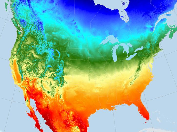
This NASA web-based tool enables near-real time monitoring of inland and coastal water quality across the U.S. and parts of Africa and South America.
July 1, 2026,2:00-3:00 p.m. EDT(1800-1900 UTC)

Learn how the Fire Information for Resource Management System (FIRMS) uses timely composite imagery to identify fire fronts, burned areas, and smoke.
July 16, 2026,2:00-3:30 p.m. EDT(1800-1930 UTC)

Diane Fritz, an associate scientist at NSIDC DAAC, demonstrates how to use the harmony-py Python library to customize data requests from the NASA Earthdata Cloud.
June 2, 2026,3:00-3:30 p.m. EDT(1900-1930 UTC)
Filters

Join us for an overview of NASA's LAADS DAAC, its Level-1 and atmospheric data products, and to explore different options to search, discover, and acquire the data.
Sept. 22, 2021,2:00 p.m. EDT(1800 UTC)
The Daymet dataset provides long-term, continuous, gridded estimates of daily weather and climatology variables across North America. Join us for an introduction to the Daymet Version 4 Data Collection and for a demonstration on how to programmatically discover and subset Daymet data to a region and time period of interest.
Aug. 31, 2021,8:31 p.m. EDT(0031 UTC)
Join us to learn more about the migration of NASA PO.DAAC physical oceanography data to the Earthdata Cloud hosted in the Amazon Cloud (AWS). During this webinar, we will discuss which data will be hosted in the cloud, show you options for how to migrate your ocean data discovery and access process to the cloud, and also provide useful resources to support you in navigating this migration.
Aug. 17, 2021,2:00 p.m. EDT(1800 UTC)

Dr. Hannah Kerner highlights the use of machine learning to address challenges in agriculture and food security through the use of remote sensing data.
Aug. 12, 2021,1:00-2:00 p.m. EDT(1700-1800 UTC)
Join us to learn how to request analysis-ready On-Demand InSAR products, both through NASA's Alaska Satellite Facility DAAC Vertex data discovery and data access portal and programmatically.
July 28, 2021,2:00 p.m. EDT(1800 UTC)

Explore the SOOT Power User Interface: a new tool released by ASDC, designed to promote discovery and access of airborne and field campaign data for suborbital data research and analysis.
June 30, 2021,2:00 p.m. EDT(1800 UTC)
NASA's Surface Biology and Geology study team provided a status update on the SBG mission and related projects.
June 15, 2021,1:00-3:00 p.m. EDT(1700-1900 UTC)

Join us to learn how to use NASA’s Worldview, an imagery mapping and visualization tool that provides access to over 900 data imagery layers, many of which are available within hours, even minutes, to explore Earth’s interconnected processes and events.
May 18, 2021,2:00 p.m. EDT(1800 UTC)
SHOWING 8 OF 205