We are in the process of migrating all NASA Earth science data sites into Earthdata from now until end of 2026. Not all NASA Earth science data and resources will appear here until then. Thank you for your patience as we make this transition.
Read about the Web Unification Project
Webinars
Our online webinars, trainings, and workshops feature experts in various disciplines who share their knowledge in a particular subject area, from data in the cloud to specific data tools.
Featured Webinars

This NASA web-based tool enables near-real time monitoring of inland and coastal water quality across the U.S. and parts of Africa and South America.
July 1, 2026,2:00-3:00 p.m. EDT(1800-1900 UTC)

Learn how the Fire Information for Resource Management System (FIRMS) uses timely composite imagery to identify fire fronts, burned areas, and smoke.
July 16, 2026,2:00-3:30 p.m. EDT(1800-1930 UTC)

Diane Fritz, an associate scientist at NSIDC DAAC, demonstrates how to use the harmony-py Python library to customize data requests from the NASA Earthdata Cloud.
June 2, 2026,3:00-3:30 p.m. EDT(1900-1930 UTC)
Filters

The webinar introduces satellite remote sensing, radiance conversion, image classification, and geophysical product creation, and more.
Jan. 29, 2021,1:00-2:00 p.m. EST(1800-1900 UTC)
Join us for an introduction to the Earthdata Forum, a hub for submitting your questions about NASA Earth science data, services, and tools and for finding answers on how to discover and use the data distributed by the DAACs represented on the Earthdata Forum.
Nov. 18, 2020,2:00 p.m. EST(1900 UTC)

Join us for an introduction to NASA SEDAC's Global COVID-19 Viewer - a map-based tool for understanding the spread of the Coronavirus and underlying risk factors. During the webinar, participants will learn about its development and then a live demonstration of the viewer focusing on current hotspots, interesting trends, and an exploration of the risk factors will be provided.
Oct. 28, 2020,2:00 p.m. EDT(1800 UTC)

Get to know NASA's Land Processes Distributed Active Archive Center (LP DAAC) in this Tech Talk Webinar.
Oct. 1, 2020,11:00 a.m. - 12:00 p.m. EDT(1500-1600 UTC)
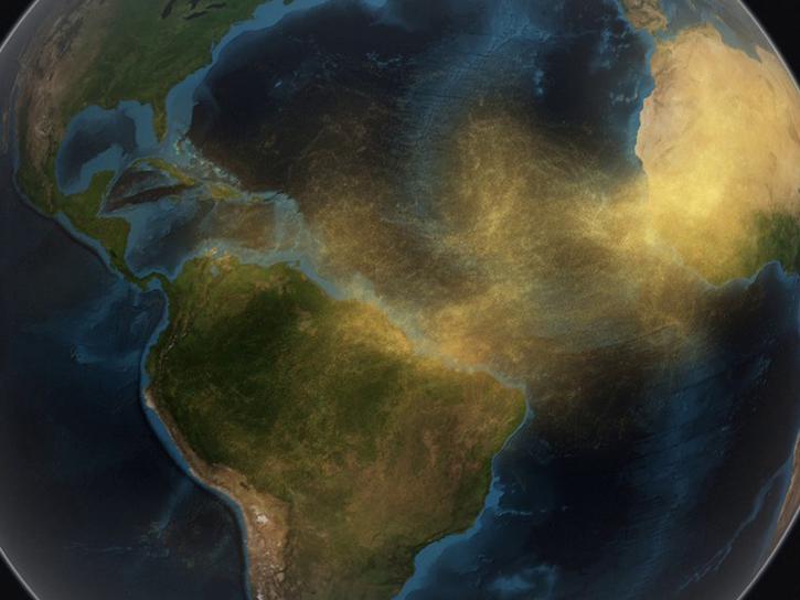
Join us as we explore how GES DISC tools and data products can augment ongoing vital research on the dynamics of dust transport in Earth’s atmosphere. We will investigate the June 2020 Sahara Dust Event over Barbados as our use case.
Sept. 23, 2020,2:00 p.m. EDT(1800 UTC)
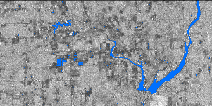
In this webinar, we will demonstrate approaches for using SAR datasets in GIS environments to detect landscape change and map flooding events with a focus on Sentinel-1 datasets.
Aug. 6, 2020,2:00 p.m. EDT(1800 UTC)

NASA's Land Processes Distributed Active Archive Center (LP DAAC) provides an introduction to learning resources for the ecology community.
Aug. 6, 2020,9:00-10:00 a.m. EDT(1300-1400 UTC)

In part 1 of this two-part webinar, learn about the synthetic aperture radar (SAR) datasets available from NASA and the processing required to extract useful information from the data.
Aug. 4, 2020,2:00-3:15 p.m. EDT(1800-1915 UTC)
SHOWING 8 OF 205