We are in the process of migrating all NASA Earth science data sites into Earthdata from now until end of 2026. Not all NASA Earth science data and resources will appear here until then. Thank you for your patience as we make this transition.Read about the Web Unification Project
Webinars
Our online webinars, trainings, and workshops feature experts in various disciplines who share their knowledge in a particular subject area, from data in the cloud to specific data tools.
The USGS EROS User Services team is offering an hour-long webinar to share the data, tools, and services available from the Advanced Spaceborne Thermal Emission and Reflection Radiometer (ASTER) instrument aboard NASA’s Terra satellite.
Join the NASA Satellite Needs Working Group Implementation Team (NSITE) for a virtual workshop showcasing the Harmonized Landsat and Sentinel-2 (HLS) Solution.
May 12-13, 2026,11:00 a.m. - 6:00 p.m. EDT(1500-2200 UTC)
Join us for an introduction to NASA’s Global Ecosystems Dynamics Investigation (GEDI) datasets and to learn how to use LP DAAC's web service, data prep script, and Jupyter Notebook Python tutorial series.
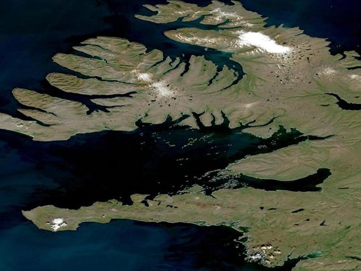
During this webinar we will introduce several of the NSIDC DAAC snow-focused NASA missions and data products, followed by a live demonstration teaching participants how to discover, access, and couple snow data across varying geospatial scales using Python.
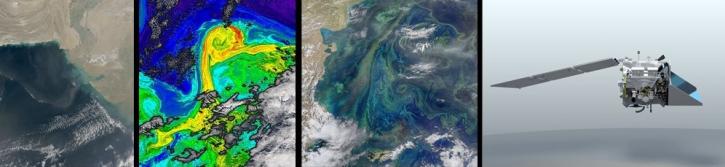
Join us as we show you how to discover and download atmospheric data at NASA's Atmospheric Science Data Center (ASDC) in order to showcase your research and enable visualizations of your data and analysis.
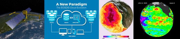
Join NASA's Physical Oceanography Distributed Active Archive Center (PO.DAAC) to discuss what it means for NASA's physical oceanography data, services, and resources to move to the cloud and how these changes will impact the data user.
This presentation will explore the history and evolution of satellite-borne ocean color sensors. Join us to learn about the impact of past and present sensors, and how future platforms will contribute toward a growing NASA oceanography data archive.
Join us to learn about NASA's Land Atmosphere Near real-time Capability for EOS (LANCE) system and available data. During this webinar we will describe the difference between NRT data and standard quality data and show you how to discover and access LANCE NRT data.
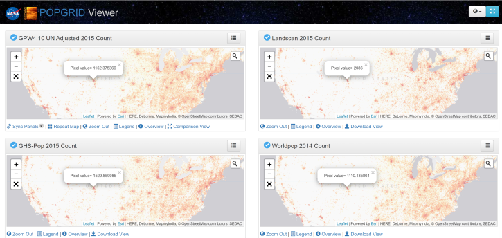
Join us for an introduction to gridded population and settlement data, an overview of gridding approaches and a demonstration on how to work with these data using SEDAC's POPGRID Viewer.
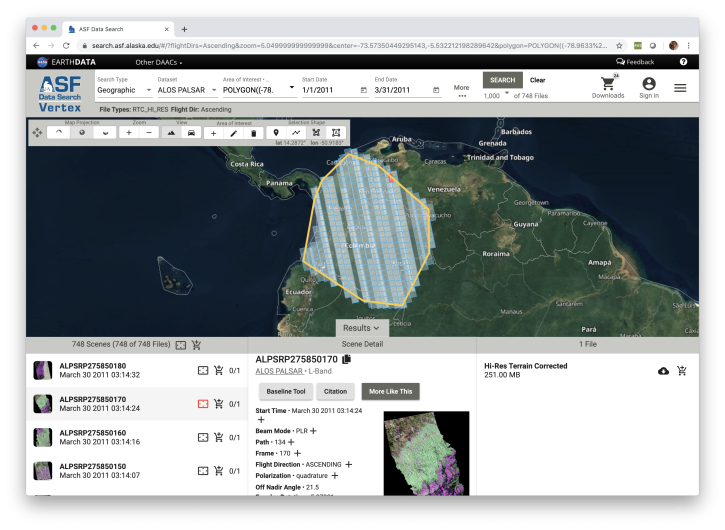
Looking for synthetic aperture radar (SAR) data? Learn how to discover, access and manipulate SAR data with the newly revamped NASA ASF DAAC Vertex tool. We'll showcase common data access methods and some of the advanced features of this data discovery and data access tool.