Delivery of Suomi National Polar-orbiting Partnership (Suomi NPP) satellite data products will cease on November 1, 2026. Data users should transition now to alternative products from NOAA-21 and NOAA-20.
Suomi NPP data announcement
Webinars
Our online webinars, trainings, and workshops feature experts in various disciplines who share their knowledge in a particular subject area, from data in the cloud to specific data tools.
Featured Webinars
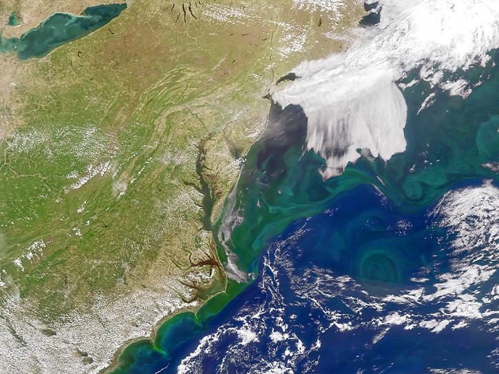
Learn about NASA’s Plankton, Aerosol, Cloud, ocean Ecosystem (PACE) mission, its data products and capabilities for terrestrial remote sensing, and how to explore the data through AppEEARS.
Sept. 23, 2026,1:00-2:00 p.m. EDT(1700-1800 UTC)
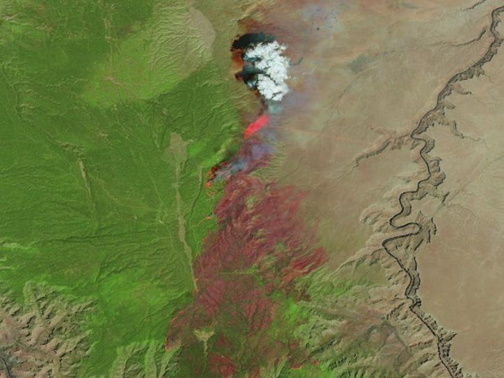
Learn how the Fire Information for Resource Management System (FIRMS) uses timely composite imagery to identify fire fronts, burned areas, and smoke.
July 16, 2026,2:00-3:30 p.m. EDT(1800-1930 UTC)
Diane Fritz, an associate scientist at NSIDC DAAC, demonstrates how to use the harmony-py Python library to customize data requests from the NASA Earthdata Cloud.
June 2, 2026,3:00-3:30 p.m. EDT(1900-1930 UTC)
Filters
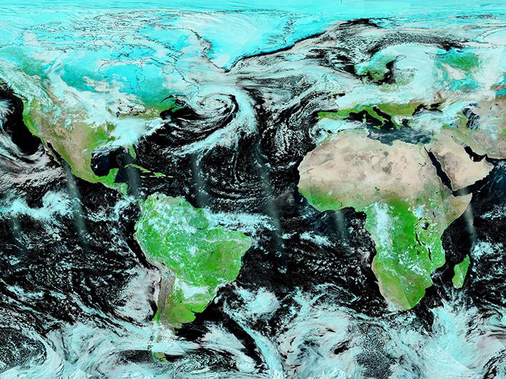
Join us to learn how to use NASA’s Worldview, an imagery mapping and visualization tool that provides access to over 900 data imagery layers, many of which are available within hours, even minutes, to explore Earth’s interconnected processes and events.
May 18, 2021,2:00 p.m. EDT(1800 UTC)

Join us to learn how to harmonize IceBridge, ICESat-1, and ICESat-2 data products into similar formats and apply the necessary geophysical corrections for users to immediately access, compare, and visualize data using Python and Jupyter Notebook based tools.
April 28, 2021,2:00 p.m. EDT(1800 UTC)

Learn how to use the IBM Watson Natural Language Processing (NLP) Library, a powerful tool for developers and researchers to perform various NLP tasks more efficiently.
April 20, 2021,1:00-2:00 p.m. EDT(1700-1800 UTC)
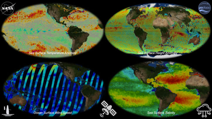
Join us to learn about NASA's archive for physical oceanography data in the context of Open Science. We'll provide you with an introduction to remote sensing and in situ products at PO.DAAC and show you how to work with these data in the cloud.
March 24, 2021,2:00 p.m. EDT(1800 UTC)
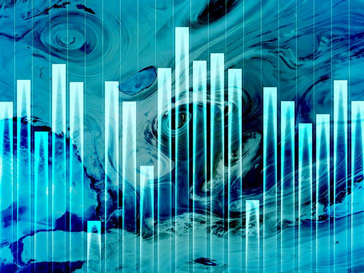
Learn how to build a tiny knowledge graph based on articles about scientific topics.
March 11, 2021,1:00-2:00 p.m. EST(1800-1900 UTC)
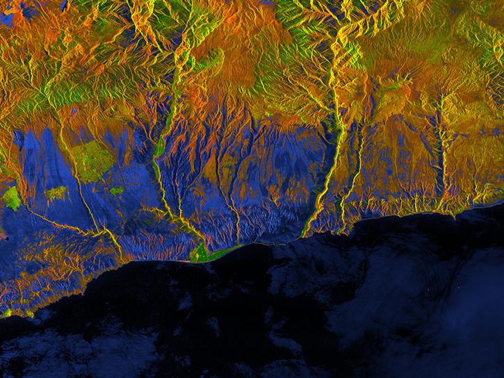
This webinar will introduce users to radiometrically terrain corrected (RTC) datasets and demonstrate the process of using Vertex to search for source granules, submit them for processing, and access the finished products.
Feb. 21, 2021,2:00 p.m. EST(1900 UTC)
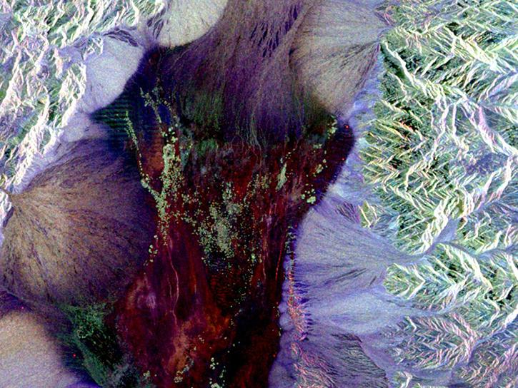
Learn about the incredible power of synthetic aperture radar (SAR).
Feb. 5, 2021,1:00-2:00 p.m. EST(1800-1900 UTC)
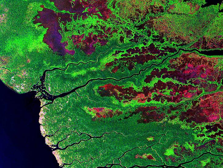
Learn about the different applications of synthetic aperture radar (SAR) datasets.
Feb. 5, 2021,1:00-2:00 p.m. EST(1800-1900 UTC)
SHOWING 8 OF 206