Delivery of Suomi National Polar-orbiting Partnership (Suomi NPP) satellite data products will cease on November 1, 2026. Data users should transition now to alternative products from NOAA-21 and NOAA-20.
Suomi NPP data announcement
Filters
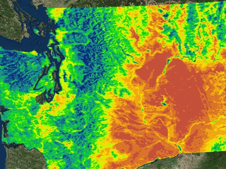
NASA's Northwest U.S. Agriculture Team used MODIS data to calculate the growing degree days of the codling moth.
Data in Action
Feb. 14, 2015
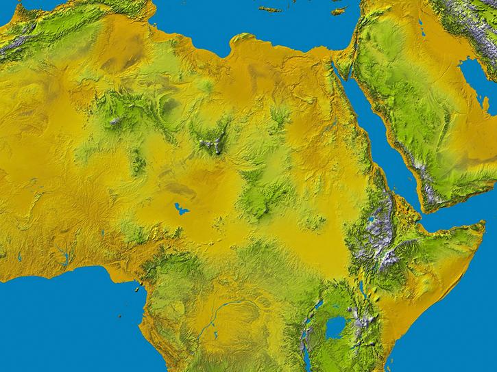
The Shuttle Radar Topography Mission (SRTM) in February 2000 measured the elevation of 80% of Earth’s land surface and produced uniquely valuable data.
News
Feb. 4, 2015

OPeNDAP allows users to gather data as a subset rather than trying to extract the required data from the tile-based granules.
News
Jan. 27, 2015
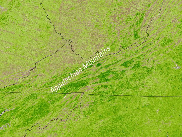
Learn how MODIS vegetation indices can be used to monitor variations in global vegetation conditions, such as seasonal leaf changes.
Data in Action
Dec. 23, 2014
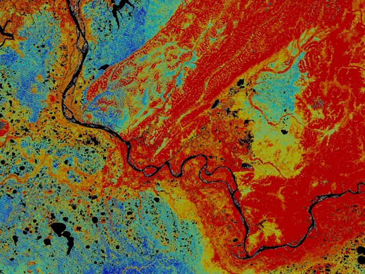
Discover how Landsat data were used map areas of the Alaskan Yukon River basin proving that land cover type was a good predictor of permafrost.
Data in Action
Dec. 10, 2014
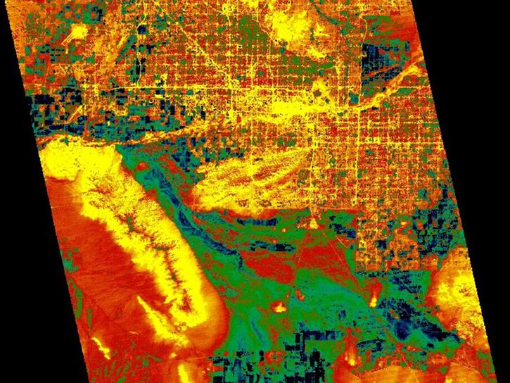
Explore how LP DAAC data was used to forecast spring wheat yields in Canada, track elevation change at a U.S. coal mine, and examine land cover impacts on urban heat in Phoenix, Arizona.
Data in Action
Nov. 25, 2014
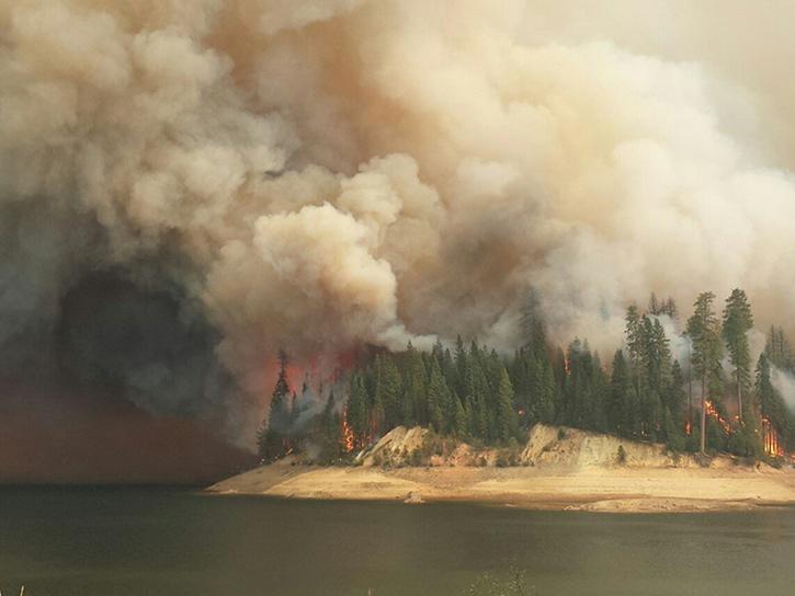
Learn how remote sensing data from space was used to detect and monitor the King Fire in California, showcasing the importance of satellite imagery in wildfire management.
Data in Action
Nov. 7, 2014
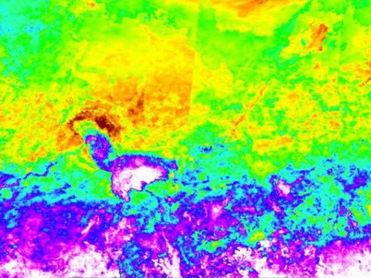
Explore how MODIS data supports research on tick-borne disease spread in Kansas, water stress in African rangelands, and long-term greenness trends in Alaska’s boreal ecosystems.
Data in Action
Oct. 28, 2014
SHOWING 8 OF 2405