Delivery of Suomi National Polar-orbiting Partnership (Suomi NPP) satellite data products will cease on November 1, 2026. Data users should transition now to alternative products from NOAA-21 and NOAA-20.
Suomi NPP data announcement
Filters

Read highlights from the Spring/Summer 20214 term of NASA's DEVELOP program.
Data in Action
Oct. 21, 2014

Learn how to access and visualize Atmospheric Infrared Sounder (AIRS) grid data from NASA's Goddard Earth Sciences Data and Information Services Center (GES DISC) in Python.
Data Recipe
Oct. 2, 2014
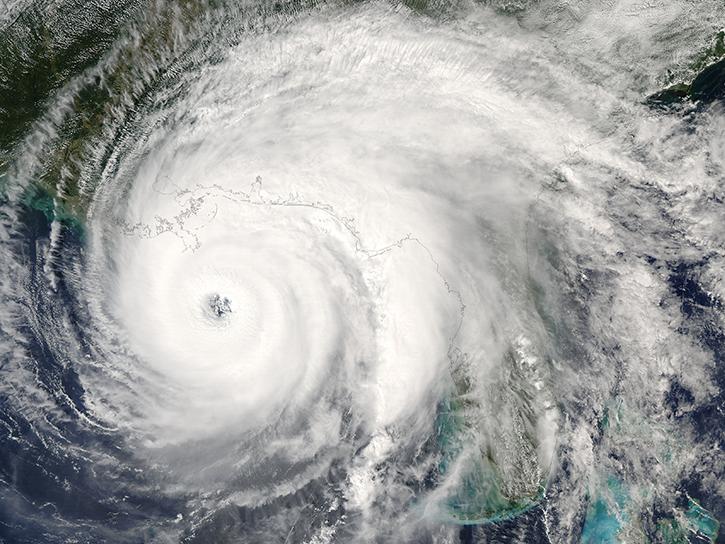
ASTER data are used to evaluate the affects of Hurricane Ivan, a unique and destructive storm, after making two U.S. landfalls.
Data in Action
Sept. 30, 2014

New imagery products are now available in GIBS in the Geographic, North Polar Stereographic, South Polar Stereographic, and Web Mercator projections.
Blog
Sept. 22, 2014
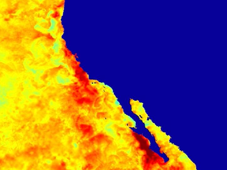
Learn about intensified coastal warming along central-to-southern California in 2014 using satellite sea surface temperature imagery.
Data in Action
Sept. 4, 2014
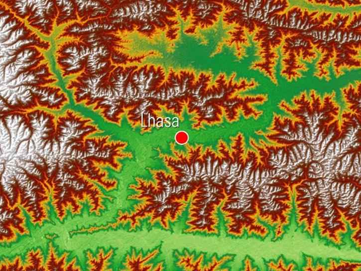
See how digital elevation models are used to create three-dimensional data visualizations, which provide an insightful perspective on landscapes.
Data in Action
Aug. 18, 2014
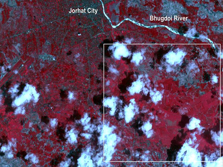
Satellite data derived from ASTER imagery help tea growers in India assess crop health.
Data in Action
Aug. 14, 2014
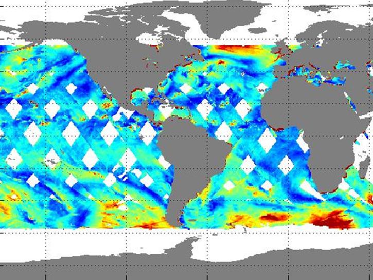
Learn how NASA's RapidScat observes daily cycles of wind created by solar heat.
Data in Action
July 17, 2014
SHOWING 8 OF 2405