We are in the process of migrating all NASA Earth science data sites into Earthdata from now until end of 2026. Not all NASA Earth science data and resources will appear here until then. Thank you for your patience as we make this transition.
Read about the Web Unification Project
Filters
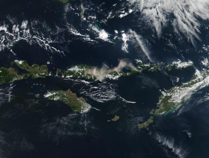
Image captured July 7, 2025, by the VIIRS instrument aboard the joint NASA/NOAA Suomi NPP platform.
Worldview Image of the Week
July 11, 2025
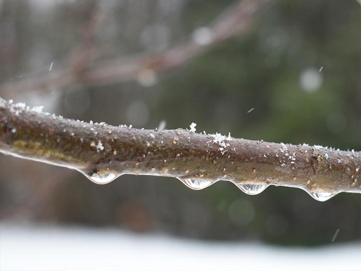
A CSESP-funded study found that AI is no better at identifying rain or snow in storms than people and conventional models.
Feature Article
July 10, 2025
The USGS EROS User Experience Webinar Series is hosting a free virtual AppEEARS webinar.
Webinar
July 10, 2025

ARSET trainings are now available on Earthdata, streamlining user access to related data, tools, and resources.
News
July 8, 2025
Learn more about the NASA Commercial Satellite Data Acquisition (CSDA) program vendor Pixxel and how to discover, access, and work with their commercial hyperspectral satellite data products.
Webinar
July 7, 2025

Image captured July 3, 2025, by the VIIRS instrument aboard the joint NASA/NOAA Suomi NPP platform.
Worldview Image of the Week
July 3, 2025
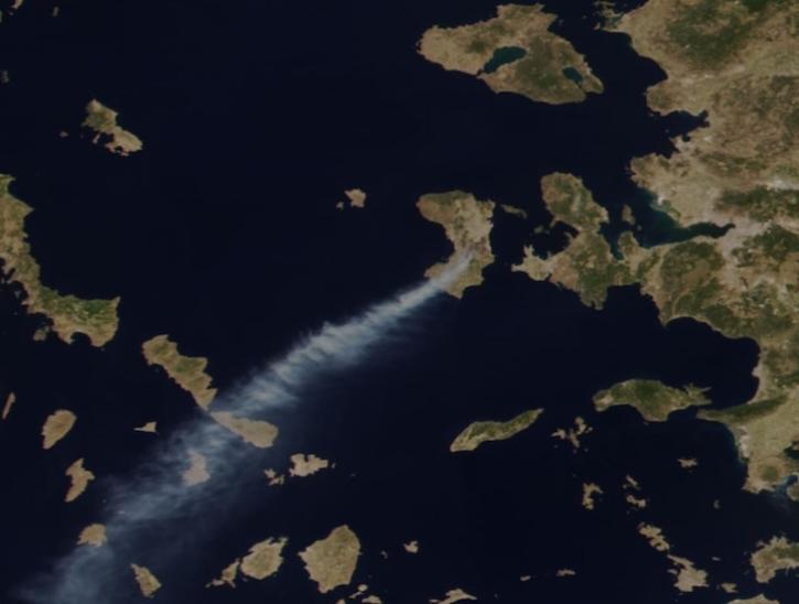
Image captured June 23, 2025, by the VIIRS instrument aboard the joint NASA/NOAA NOAA-21 platform.
Worldview Image of the Week
June 26, 2025
New Level 4A data are the first from the Global Ecosystem Dynamics Investigation (GEDI) mission since the instrument returned to operation in 2024.
News
June 26, 2025
SHOWING 8 OF 1777