We are in the process of migrating all NASA Earth science data sites into Earthdata from now until end of 2026. Not all NASA Earth science data and resources will appear here until then. Thank you for your patience as we make this transition.
Read about the Web Unification Project
Filters
Looking to brush up your skills in GIS? You’re in luck—Earthdata has released new tutorials and data recipes for GIS users.
News
Nov. 17, 2025
Users can now generate on-demand interferograms for more than a million ARIA-S1-GUNW products.
News
Nov. 14, 2025
This training, offered by NASA's ARSET program, focuses on data providing near-global coverage of coastal and satellite-derived bathymetry measurements.
News
Nov. 14, 2025
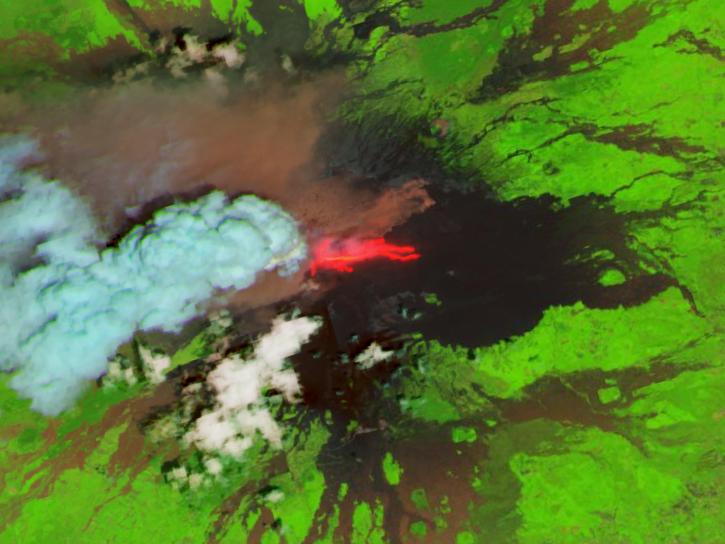
Image captured November 13, 2025, by the VIIRS instrument aboard the joint NASA/NOAA NOAA-21 platform.
Worldview Image of the Week
Nov. 13, 2025
Learn how SWOT data may fill gaps in the observational record of sea ice thickness change.
News
Nov. 13, 2025
Join us on Wed., Nov. 19, 2025, at 2 p.m. EST for the fifth NASA ICESat-2 data training webinar. Participants will learn about ICESat-2 inland surface water data, services, and tools.
Webinar
Nov. 13, 2025
The addition of HLS data to Azure provides a foundation for next-generation Earth observation capabilities.
Blog
Sept. 30, 2025
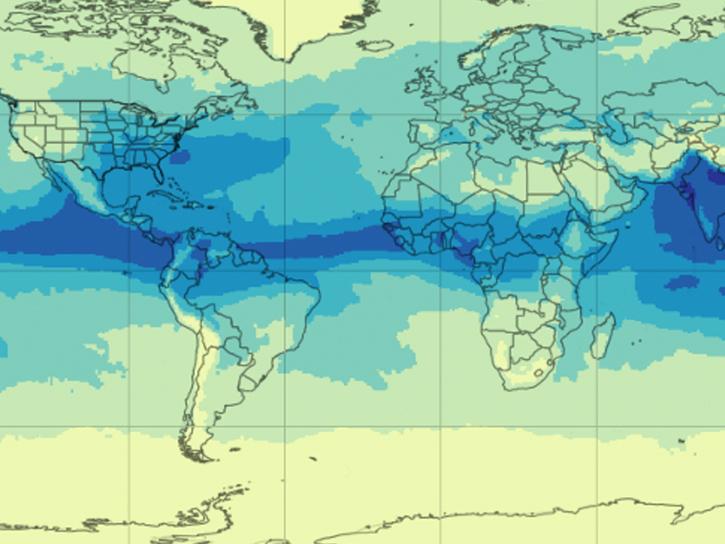
NASA's AIRS instrument provides information about precipitable water vapor, a key variable in determining the potential strength of hurricanes and tropical cyclones.
Blog
Sept. 30, 2025


