Delivery of Suomi National Polar-orbiting Partnership (Suomi NPP) satellite data products will cease on November 1, 2026. Data users should transition now to alternative products from NOAA-21 and NOAA-20.
Suomi NPP data announcement
Filters
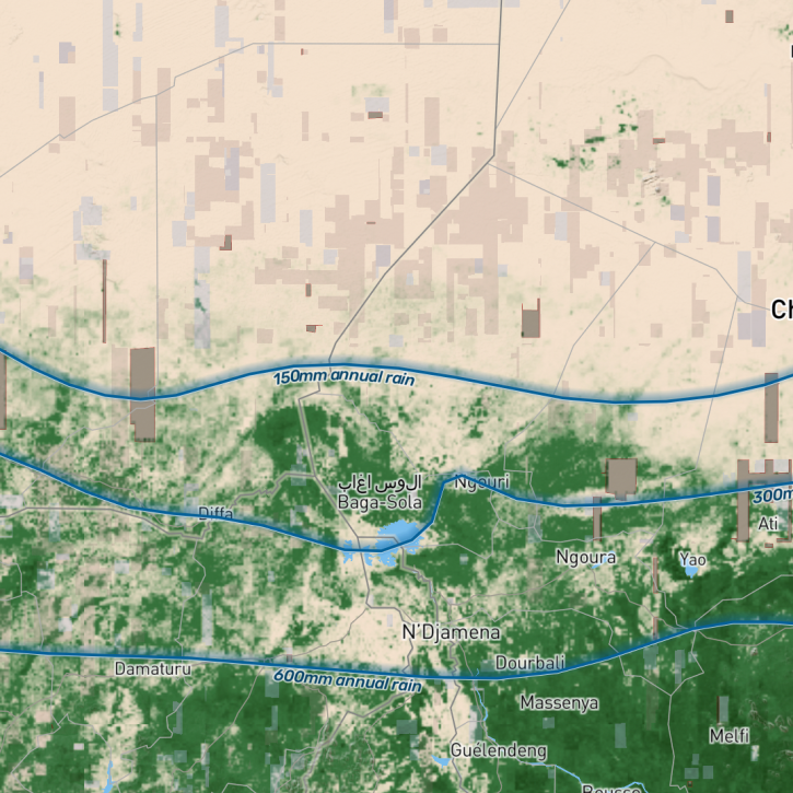
The study, which utilized data made available by NASA’s Commercial SmallSat Data Acquisition (CSDA) program, was led by NASA’s Compton Tucker and provides new insight into how carbon stocks can be mapped at the level of individual trees.
News
March 9, 2023

Image captured Mar 7, 2023, by the VIIRS instrument aboard the joint NASA/NOAA Suomi NPP satellite.
Worldview Image of the Week
March 8, 2023

Updated sea surface salinity data products fill an Earth observing need identified in the 2020 Satellite Needs Working Group (SNWG) survey of federal agencies.
News
March 7, 2023
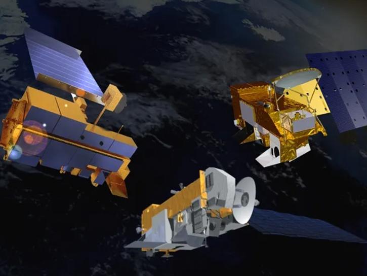
A new Request for Information (RFI) with responses due by April 4 seeks input for determining Terra, Aqua, and Aura mission data product continuity needs, capabilities, and gaps.
News
March 6, 2023
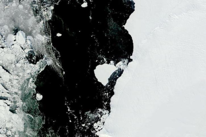
Image captured on Feb 28, 2023, by the MODIS instrument aboard NASA's Terra satellite.
Worldview Image of the Week
March 1, 2023
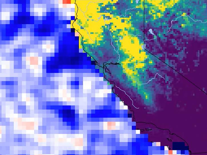
Satellite data reveals the impact of storm runoff on the coastal ocean.
Data in Action
March 1, 2023
Tools and services including PO.DAAC Drive, LAS, CWS, and THREDDS are retiring.
News
March 1, 2023

Data from NASA’s ORNL DAAC help Dr. Kyla Dahlin better understand how remote sensing can improve predictive ecological models.
Data User Story
Feb. 28, 2023
SHOWING 8 OF 2406