Delivery of Suomi National Polar-orbiting Partnership (Suomi NPP) satellite data products will cease on November 1, 2026. Data users should transition now to alternative products from NOAA-21 and NOAA-20.
Suomi NPP data announcement
Filters

The collaboration between NASA and IBM is a unique application of artificial intelligence (AI) foundation model technology to NASA Earth observation data.
News
Feb. 1, 2023
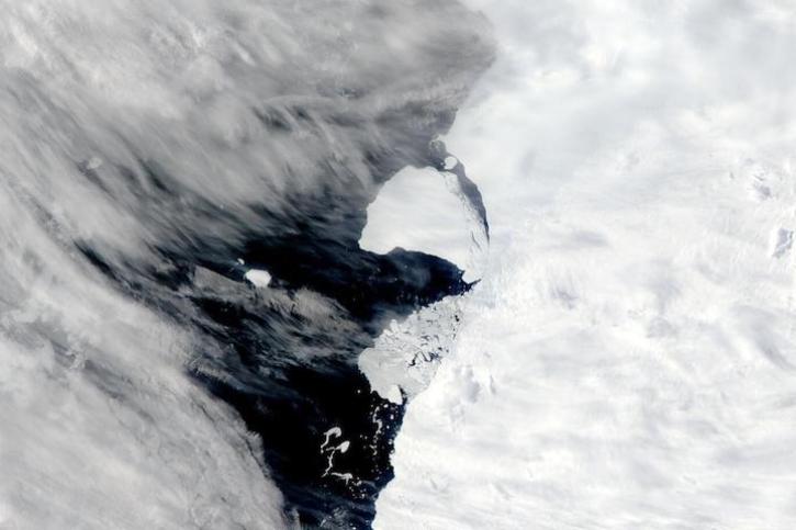
Image captured on Jan 29, 2023, by the MODIS instrument aboard NASA's Aqua satellite.
Worldview Image of the Week
Jan. 31, 2023
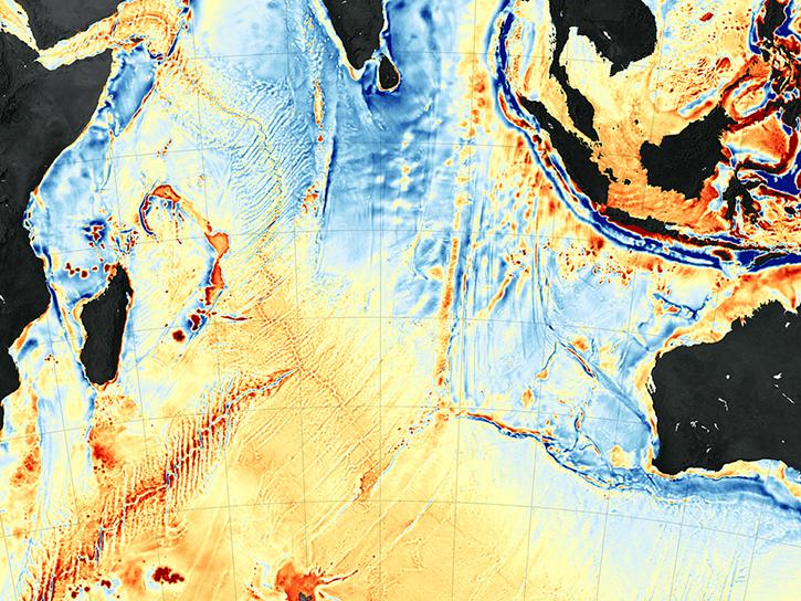
Through the agreement, NASA geospatial data will be increasingly available to more than 10 million users of geographic information system (GIS) software in ArcGIS and open geospatial consortium (OGC)-based formats.
News
Jan. 31, 2023

NASA near real-time data help Lori Schultz respond to agencies that reach out to NASA in the wake of natural disasters.
Data User Story
Jan. 31, 2023
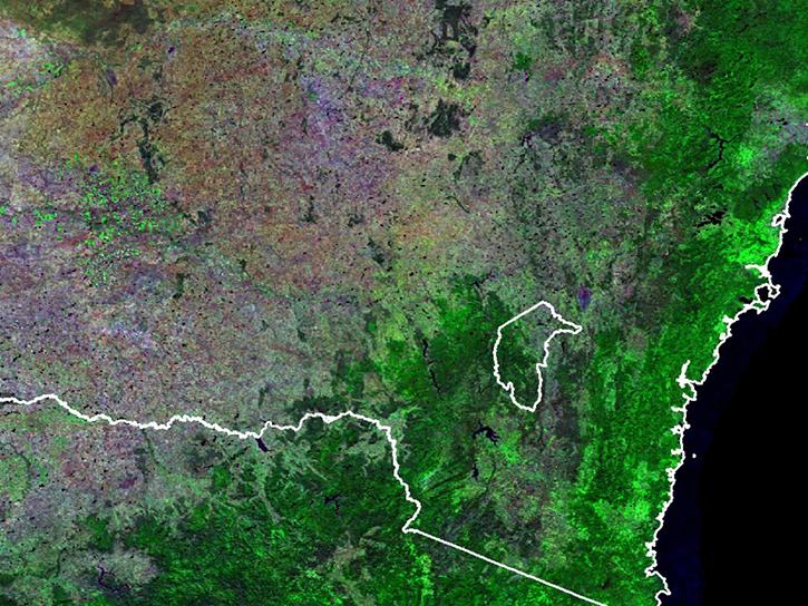
MODIS V6 land data products suffer from known calibration issues discovered after the completion of V6 reprocessing.
News
Jan. 30, 2023

Image of a three-day flood composite ending Jan 23, 2023, from the MODIS instruments aboard the Terra and Aqua satellites.
Worldview Image of the Week
Jan. 24, 2023
The SDE facilitates discovery and access to scientific data and resources across NASA’s Science Mission Directorate.
Feature Article
Jan. 20, 2023

Image captured on Jan 19, 2023, by the VIIRS instrument aboard the joint NASA/NOAA Suomi NPP satellite.
Worldview Image of the Week
Jan. 19, 2023
SHOWING 8 OF 2406