Delivery of Suomi National Polar-orbiting Partnership (Suomi NPP) satellite data products will cease on November 1, 2026. Data users should transition now to alternative products from NOAA-21 and NOAA-20.
Suomi NPP data announcement
Filters
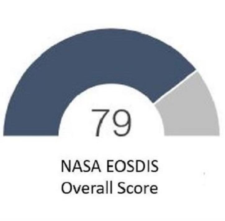
The results of the 2022 American Customer Satisfaction Index show users continue to appreciate EOSDIS products and services.
Feature Article
Jan. 17, 2023

NASA Worldview on mobile devices offers much of the same functionality.
Blog
Jan. 17, 2023
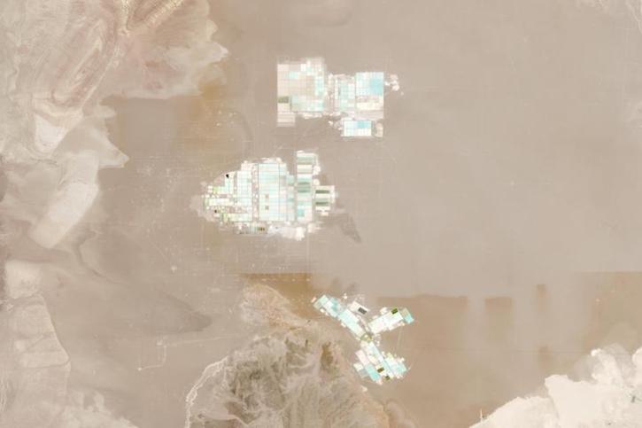
Image captured on Jan 8, 2023, by the MSI instrument aboard the ESA (European Space Agency) Sentinel-2A and -2B satellites.
Worldview Image of the Week
Jan. 10, 2023
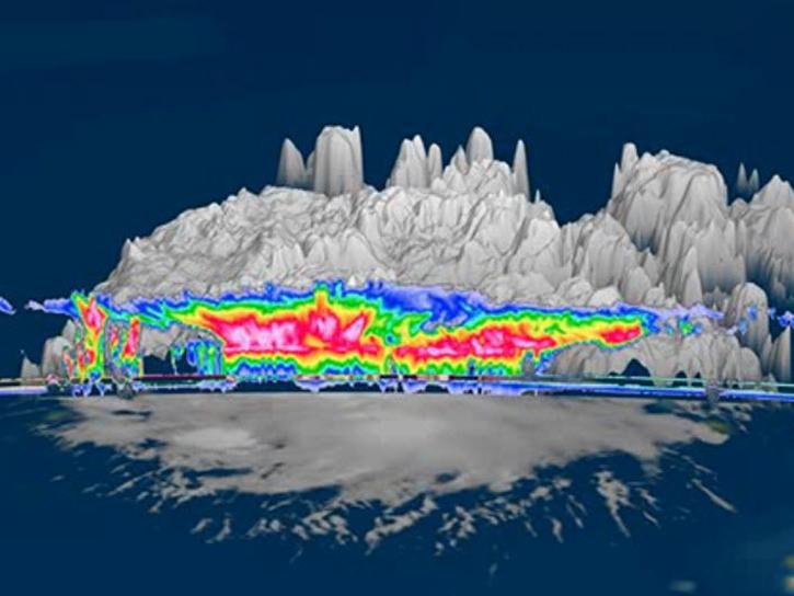
Learn how to generate time-height plots of measured Cloud Radar System radar reflectivity and Doppler velocity through a Python 3 plotting routine.
Data Recipe
Jan. 9, 2023
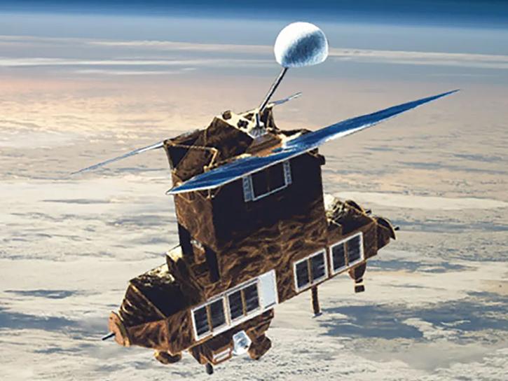
Learn more about the Earth Radiation Budget Satellite (ERBS).
News
Jan. 9, 2023
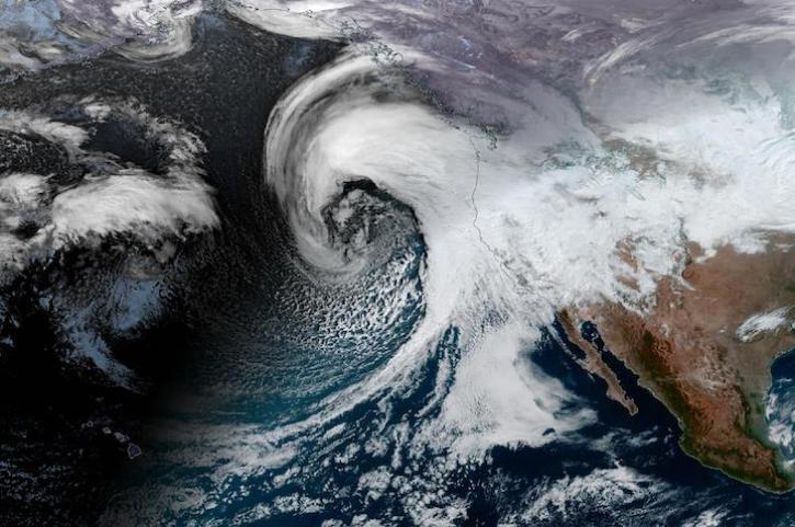
Image captured on Jan 4, 2023, by the ABI instrument aboard the GOES-West satellite.
Worldview Image of the Week
Jan. 4, 2023
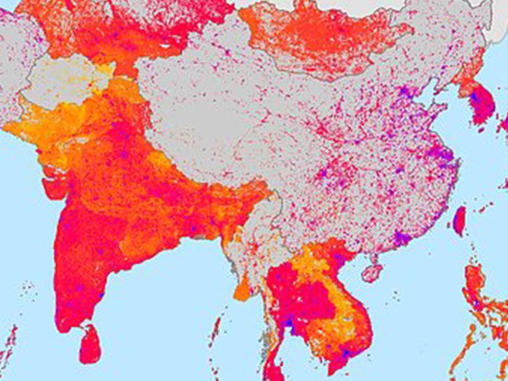
Additional datasets released by NASA's Socioeconomic Data and Applications Center (SEDAC) provide details on water security and air quality.
News
Jan. 4, 2023
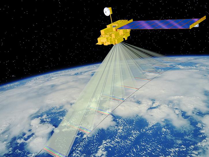
The MISR Research Aerosol retrieval algorithm (RA) paper details the latest iteration in a progression of advances.
News
Dec. 31, 2022
SHOWING 8 OF 2406