Delivery of Suomi National Polar-orbiting Partnership (Suomi NPP) satellite data products will cease on November 1, 2026. Data users should transition now to alternative products from NOAA-21 and NOAA-20.
Suomi NPP data announcement
Filters
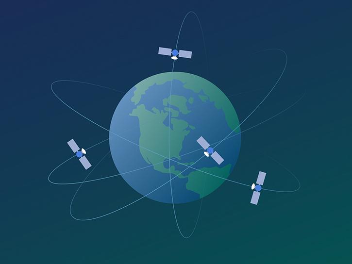
The data are part of ongoing efforts by NASA’s CSDA program to acquire commercial SmallSat data for NASA’s Earth science collection.
News
Dec. 8, 2022
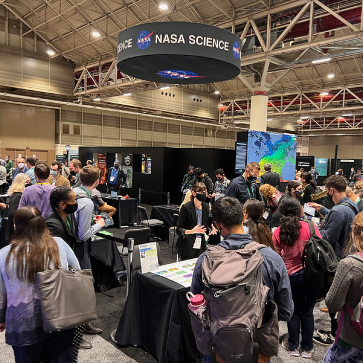
The AGU Fall Meeting Dec 12-16 in Chicago is your chance to learn about the latest NASA Earth data, science, and missions.
Feature Article
Dec. 8, 2022
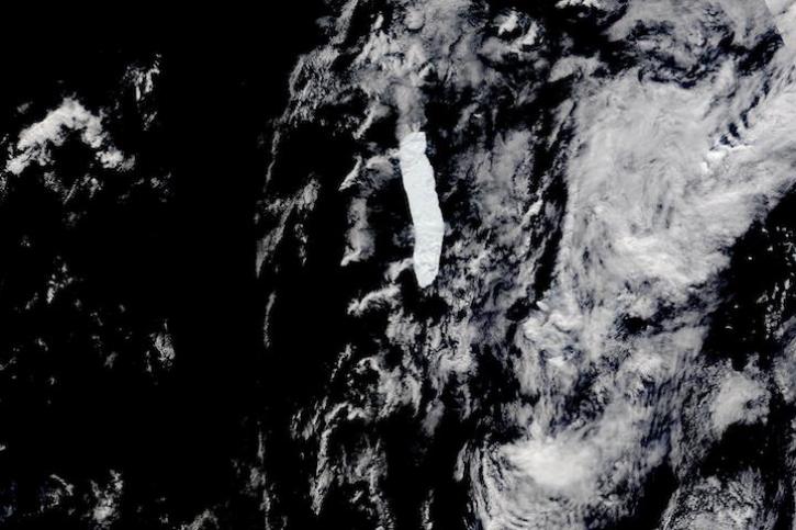
Images captured between Nov 20 and Dec 4, 2022, by the VIIRS instrument aboard the joint NASA/NOAA Suomi NPP satellite.
Worldview Image of the Week
Dec. 6, 2022
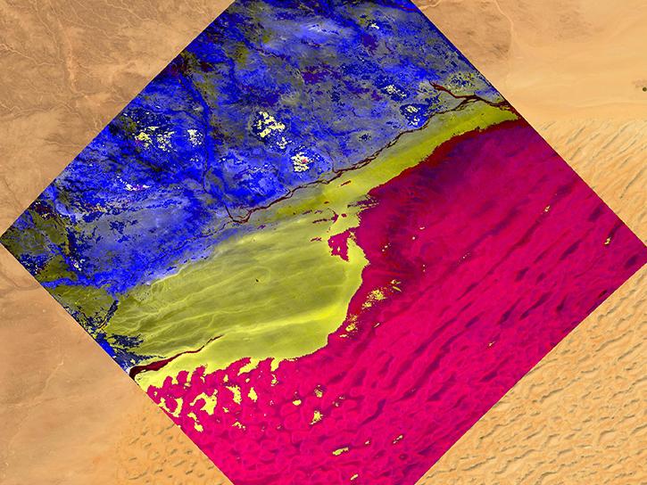
Learn to access, visualize, and analyze EMIT L2A surface reflectance data using Python.
Tutorial
Dec. 5, 2022
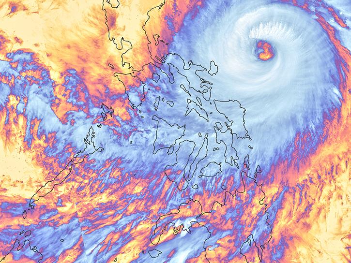
Learn how to generate a time-height plot of the measured Hurricane and Severe Storm Sentinel (HS3) High-Altitude Imaging Wind and Rain Airborne Profiler (HIWRAP) radar reflectivity through a Python plotting routine.
Data Recipe
Dec. 2, 2022
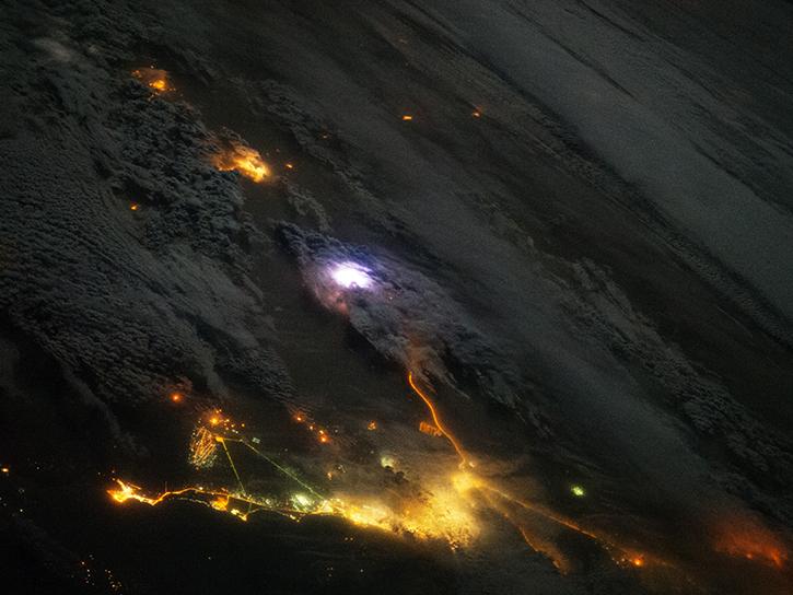
This data recipe guides the user through a Python script that enables visualization of Optical Transient Detector (OTD) lightning flash locations.
Data Recipe
Dec. 2, 2022

Height Above Nearest Drainage (HAND) is a terrain model that normalizes topography to the relative heights along the drainage network and is used to describe the relative soil gravitational potentials or the local drainage potentials.
Tutorial
Dec. 2, 2022

This data recipe enables users to plot temporal subsets of the HS3 High Altitude MMIC Sounding Radiometer (HAMSR) Radar Reflectivity Profiles through a Python plotting routine.
Data Recipe
Dec. 1, 2022
SHOWING 8 OF 2406