Delivery of Suomi National Polar-orbiting Partnership (Suomi NPP) satellite data products will cease on November 1, 2026. Data users should transition now to alternative products from NOAA-21 and NOAA-20.
Suomi NPP data announcement
Filters

Next-generation instruments aboard Joint Polar Satellite System spacecraft provide continuity to the AIRS project that began in 2002.
Feature Article
Feb. 27, 2023
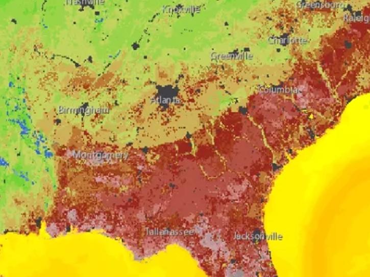
The Earth Science Data Systems (ESDS) Program Geographic Information Systems Team (EGIST) and members of NASA’s Earth Science Division showcased GIS resources at the Esri Federal GIS Conference.
News
Feb. 23, 2023
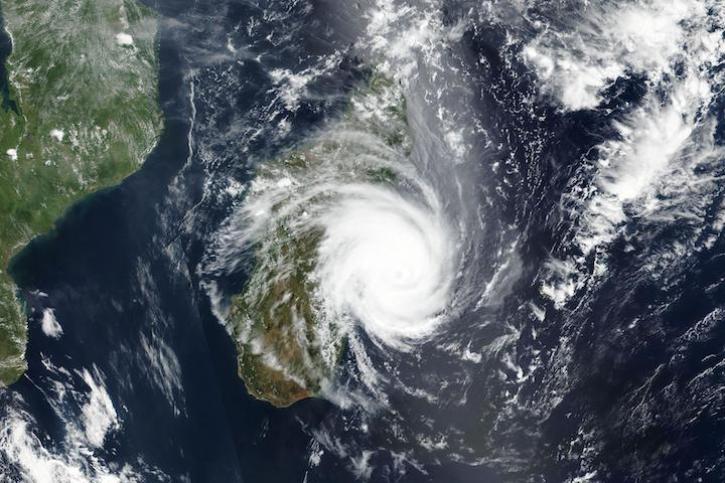
Image captured Feb 21, 2023, by the VIIRS instrument aboard the joint NASA/NOAA Suomi NPP satellite.
Worldview Image of the Week
Feb. 22, 2023

Image captured on Feb 14, 2023, by the VIIRS instrument aboard the joint NASA/NOAA NOAA-20 satellite.
Worldview Image of the Week
Feb. 15, 2023
New requirements in the annual NASA Research Opportunities in Space and Earth Sciences (ROSES) solicitation ensure that open science and data management are top priorities.
News
Feb. 14, 2023

Ten teams from around the globe took home top honors in the world’s largest annual hackathon addressing real-world problems on Earth and in space.
News
Feb. 10, 2023
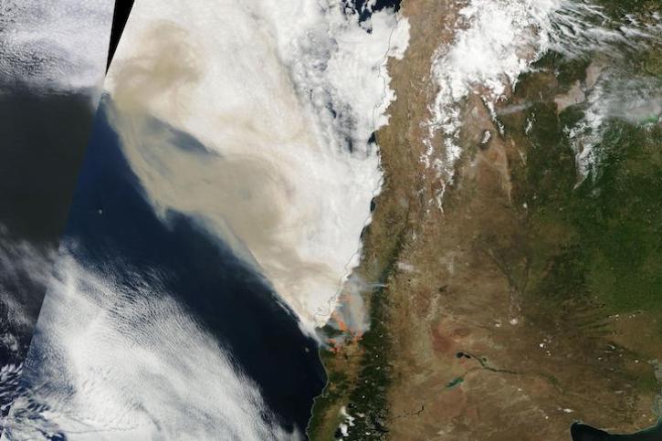
Image captured on Feb 4, 2023, by the MODIS instrument aboard NASA's Terra satellite.
Worldview Image of the Week
Feb. 7, 2023
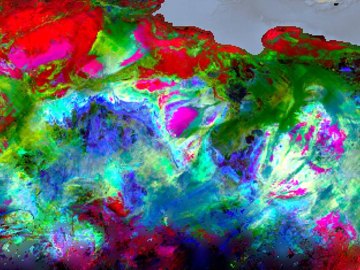
Data shows that climate impacts may affect migratory patterns among vulnerable communities in Africa.
News
Feb. 7, 2023
SHOWING 8 OF 2406