We are in the process of migrating all NASA Earth science data sites into Earthdata from now until end of 2026. Not all NASA Earth science data and resources will appear here until then. Thank you for your patience as we make this transition.
Read about the Web Unification Project
Filters

See how data from MODIS and VIIRS allow meteorologists to observe how a hurricane formed, where it went, how long it lasted, and its impact.
Data in Action
Oct. 19, 2017
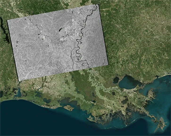
This data recipe shows users how to geocode Sentinel-1 GRD products using the Geospatial Data Abstraction Library (GDAL) raster utilities.
Data Recipe
Oct. 18, 2017

This data recipe shows users how to geocode Sentinel-1 GRD products in QGIS 2.18 using the Warp (Reproject) tool.
Data Recipe
Oct. 18, 2017
This data recipe shows how to generate an RTC image from Sentinel-1 data using easy-to-follow instructions in a graphical user interface (GUI).
Data Recipe
Oct. 18, 2017

This data recipe walks users through geocoding Sentinel-1 GRD products in QGIS 3.X using the Warp (Reproject) tool.
Data Recipe
Oct. 18, 2017

This data recipe shows how to bring gridded netCDF data into ArcMap and create a GeoTIFF file enabling GIS analysis and map making.
Data Recipe
Oct. 10, 2017

Learn how the interactive platform helps researchers analyze hurricane data.
Data in Action
Oct. 3, 2017

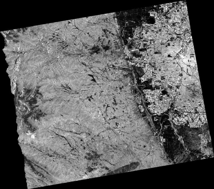
The log-ratio scaling method is an effective approach for change detection in SAR imagery, suppressing background noise and enhancing change features.
Data Recipe
Oct. 2, 2017
SHOWING 8 OF 2371