Delivery of Suomi National Polar-orbiting Partnership (Suomi NPP) satellite data products will cease on November 1, 2026. Data users should transition now to alternative products from NOAA-21 and NOAA-20.
Suomi NPP data announcement
Filters
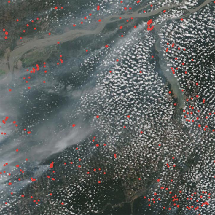
NASA researchers are tweaking algorithms and combining data from multiple satellites to track tropical forest fires in Brazil.
Feature Article
Feb. 1, 2024
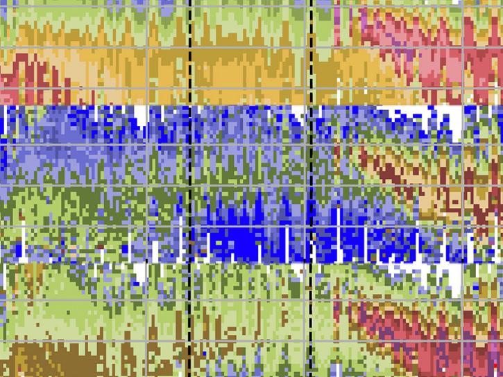
A new algorithm was developed to infer particle size distribution parameters from the SAGE III instrument extinction spectra using a lookup table (LUT) approach.
Data in Action
Feb. 1, 2024
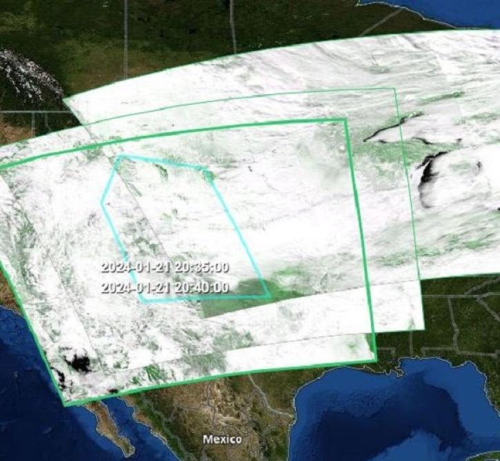
Earthdata Search’s wide array of features and functionality makes finding the right data quick and easy.
Feature Article
Jan. 31, 2024
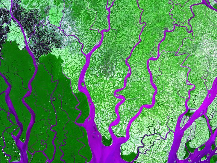
Members of NASA's Land Processes Distributed Active Archive Center (LP DAAC) highlighted their work in talks, workshops, and presentations at the American Geophysical Union Annual Meeting.
Blog
Jan. 30, 2024

The SASSIE project aimed to determine if sea surface salinity variations generated by summer sea ice melt are an important predictor for sea ice advance in the fall.
Data in Action
Jan. 30, 2024

The second Airborne and Field Data Workshop will be held Apr 23-24, 2024.
News
Jan. 26, 2024
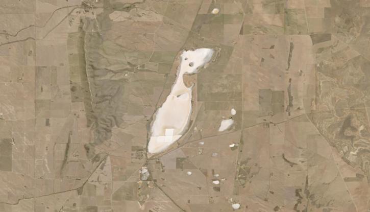
Image captured on Jan 20, 2024, by the OLI and OLI-2 instruments aboard the NASA/USGS Landsat 8 and 9 satellites.
Worldview Image of the Week
Jan. 25, 2024

The earthaccess Python library provides an easy way to search, download, or stream NASA Earth science data using a few lines of code.
Blog
Jan. 24, 2024
SHOWING 8 OF 2405