We are in the process of migrating all NASA Earth science data sites into Earthdata from now until end of 2026. Not all NASA Earth science data and resources will appear here until then. Thank you for your patience as we make this transition.
Read about the Web Unification Project
Filters
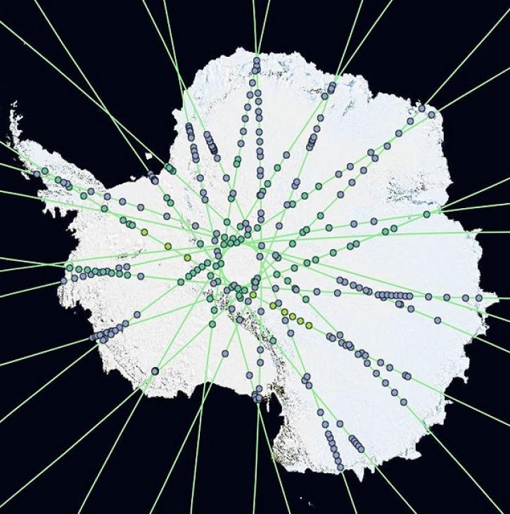
OpenAltimetry lets users explore changes on Earth’s surface around the globe and over time, and all they need is a web browser.
Feature Article
Dec. 20, 2023

With the addition of SEDAC, NASA’s Earthdata Forum now features participation from all 12 Distributed Active Archive Centers (DAACs).
News
Dec. 19, 2023

The NASA/Indian Space Research Organization (ISRO) SAR (NISAR) project team has created sample products using JAXA ALOS-1 PALSAR data as a surrogate for NISAR.
News
Dec. 19, 2023

Base image captured Dec 13, 2023, by the VIIRS instrument aboard the joint NASA/NOAA Suomi NPP satellite, overlaid with IMERG Precipitation Rate.
Worldview Image of the Week
Dec. 14, 2023

The Exhibit Hall at the American Geophysical Union (AGU) Fall Meeting is the perfect location to explore the more than 100 petabytes of NASA Earth science data—and pet a puppy.
Blog
Dec. 14, 2023

Explore 25 tutorials that demonstrate how to use NISAR sample data in a GIS environment; using Panoply; and transforming the data using GDAL commands.
Tutorial
Dec. 12, 2023

NASA's Observational Products for End-Users from Remote Sensing Analysis (OPERA) project releases two new analysis-ready products.
Feature Article
Dec. 11, 2023

View a recording of the PO.DAAC open office hour that discusses the Surface Water and Ocean Topography (SWOT) data release.
News
Dec. 11, 2023
SHOWING 8 OF 2371