Delivery of Suomi National Polar-orbiting Partnership (Suomi NPP) satellite data products will cease on November 1, 2026. Data users should transition now to alternative products from NOAA-21 and NOAA-20.
Suomi NPP data announcement
Filters

This presentation shows how to use the Vertex SAR data tool and the HyP3— which is a free service that offers on-demand processing of SAR data.
Webinar
Jan. 23, 2024
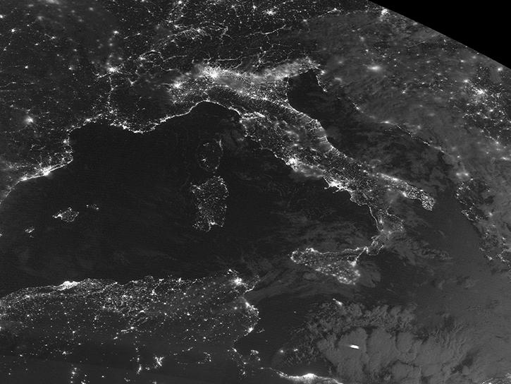
The new Level 1 products are created from data acquired by the Visible Infrared Imaging Radiometer Suite (VIIRS) aboard the NOAA-21/Joint Polar Satellite System-2 (JPSS-2) spacecraft.
News
Jan. 22, 2024
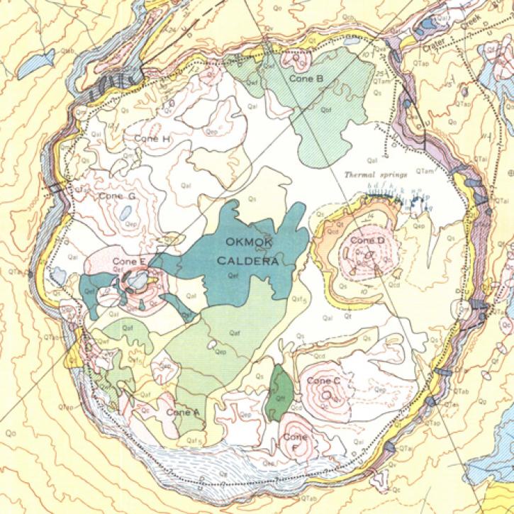
A NASA-funded study used cloud-based synthetic aperture radar data to measure changes in volcanoes in the remote Aleutian Islands.
Feature Article
Jan. 19, 2024
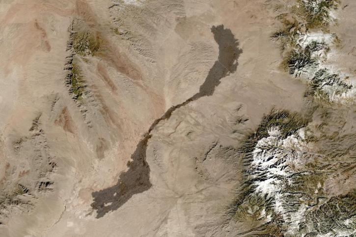
Image captured on Jan 13, 2024, by the MSI instrument aboard the ESA (European Space Agency) Sentinel-2A satellite.
Worldview Image of the Week
Jan. 18, 2024
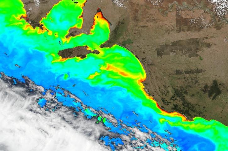
Base image captured Jan 12, 2024, by the VIIRS instrument aboard the joint NASA/NOAA Suomi NPP satellite, overlaid with Chlorophyll a.
Worldview Image of the Week
Jan. 12, 2024

NASA's Tropospheric Emissions: Monitoring of POllution (TEMPO) instrument will revolutionize air quality monitoring over North America.
Feature Article
Jan. 11, 2024

The updated user interface provides greater efficiency for discovering data, documentation, and code across NASA's Science Mission Directorate.
News
Jan. 9, 2024

New instruments like the Ka-band Radar Interferometer present NASA Engineers with calibration and validation challenges.
Data User Story
Jan. 8, 2024
SHOWING 8 OF 2405