Delivery of Suomi National Polar-orbiting Partnership (Suomi NPP) satellite data products will cease on November 1, 2026. Data users should transition now to alternative products from NOAA-21 and NOAA-20.
Suomi NPP data announcement
Atmosphere Learning Resources
Webinars, tutorials, data recipes and more to help you work with Atmosphere.
Filters
The webinar introduces satellite remote sensing, radiance conversion, image classification, and geophysical product creation, and more.
Webinar
Jan. 29, 2021
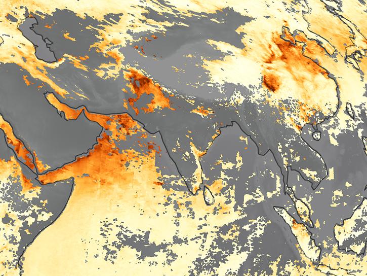
Learn how MODIS data helped researchers assess the impact of pandemic-triggered lockdowns on air pollution in India.
Data in Action
Jan. 4, 2021
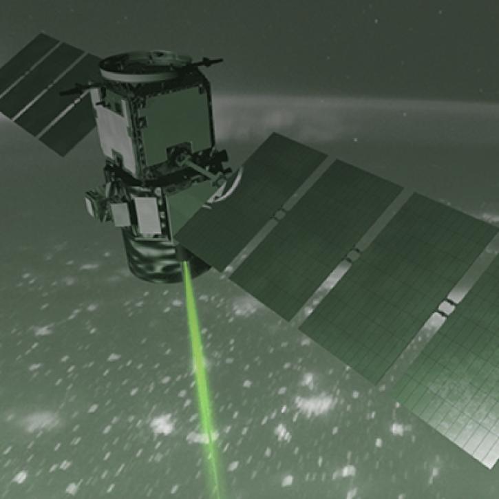
How NASA Langley Research Center is Taking Lidar to New Heights to Better Understand Our Earth
StoryMap
Dec. 1, 2020
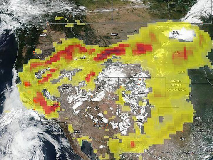
The CALIPSO satellite and the Earth Polychromatic Imaging Camera (EPIC) on NOAA’s DSCOVR satellite collected valuable data on one of the worst fires and fire seasons in California history.
Data in Action
Nov. 16, 2020
This ARSET training covers how to access VIIRS data products, the differences between VIIRS and MODIS, and its air quality applications.
Training
Oct. 22, 2020
Users can access information about tropical storms through a representational state transfer (REST) interface provided by NASA’s Global Hydrometeorology Resource Center Distributed Active Archive Center (GHRC DAAC).
Tutorial
Oct. 3, 2020
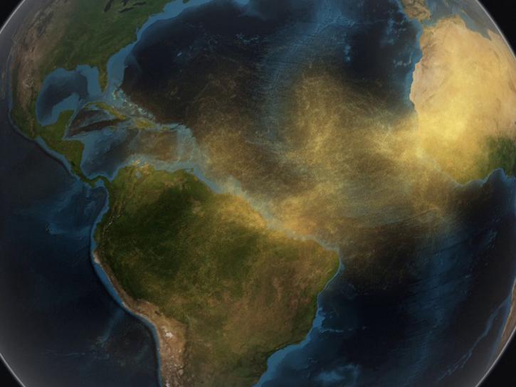
Join us as we explore how GES DISC tools and data products can augment ongoing vital research on the dynamics of dust transport in Earth’s atmosphere. We will investigate the June 2020 Sahara Dust Event over Barbados as our use case.
Webinar
Sept. 25, 2020
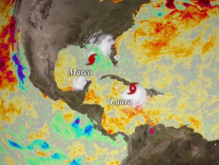
Explore sea surface temperature anomalies in the Gulf of America before, during, and after Tropical Cyclones Laura and Marco with NASA's MUR SST dataset.
Data in Action
Sept. 10, 2020
SHOWING 8 OF 173
Frequently Asked Questions
Earthdata Forum
Our online forum provides a space for users to browse thousands of FAQs about research needs, data, and data applications. You can also submit new questions for our experts to answer.
Submit Questions to Earthdata Forumand View Expert Responses