Delivery of Suomi National Polar-orbiting Partnership (Suomi NPP) satellite data products will cease on November 1, 2026. Data users should transition now to alternative products from NOAA-21 and NOAA-20.
Suomi NPP data announcement
Environmental Governance/Management Learning Resources
Webinars, tutorials, data recipes and more to help you work with Environmental Governance/Management.
Filters
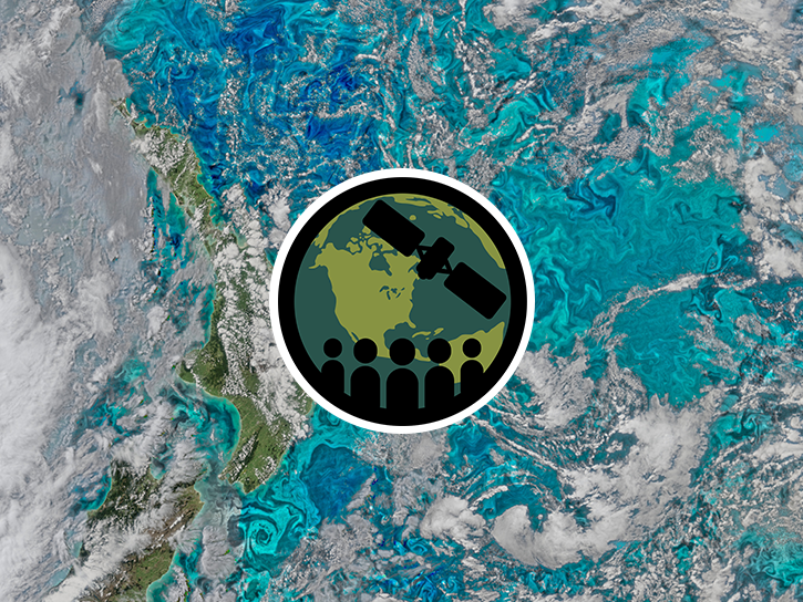
This ARSET training introduces remote sensing for coastal and ocean applications.
Training
July 6-27, 2016
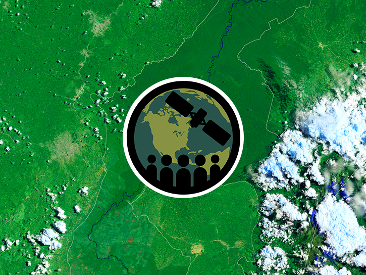
This ARSET training provides an overview of carbon monitoring for terrestrial ecosystems.
Training
June 9 - July 7, 2016
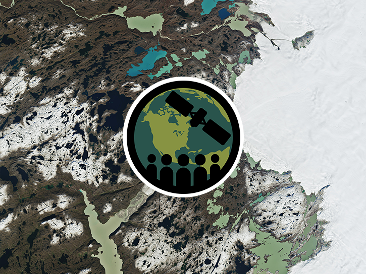
This ARSET training introduces NASA data products for water resources.
Training
Oct. 13 - Nov. 10, 2015

See how MODIS data are used to determine areas susceptible to water-stress to show the relative health of the vegetation compared to the same area with healthy vegetation.
Data in Action
June 25, 2015

Learn how NASA’s Gravity Recovery and Climate Experiment satellite mission measures groundwater changes from space.
Data in Action
March 26, 2015
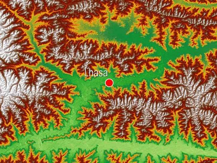
See how digital elevation models are used to create three-dimensional data visualizations, which provide an insightful perspective on landscapes.
Data in Action
Aug. 18, 2014
SHOWING 6 OF 94
Get Help
QUESTIONS & SUPPORT
Have a question?
Get help with NASA Earth science data, datasets, tools, services, and metadata on the Earthdata Forum. Experienced staff in the data user community review and answer questions.
Get help on Earthdata ForumEarthdata
Forum
Forum