Delivery of Suomi National Polar-orbiting Partnership (Suomi NPP) satellite data products will cease on November 1, 2026. Data users should transition now to alternative products from NOAA-21 and NOAA-20.
Suomi NPP data announcement
Wildfires Learning Resources
Webinars, tutorials, data recipes and more to help you work with Wildfires.
Filters

Learn how to use Moderate Resolution Imaging Spectroradiometer (MODIS) Thermal Anomalies and Fire data, interpret fire masks, and visualize data.
Tutorial
April 5, 2017
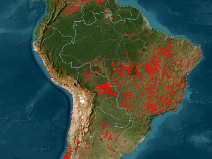
Learn how to access Moderate Resolution Imaging Spectroradiometer (MODIS) Thermal Anomalies and Fire data via Earthdata Search, covering product details and download steps.
Tutorial
April 5, 2017
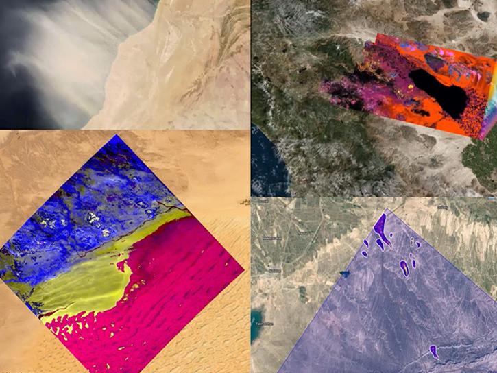
View LP DAAC's presentation at the Black Hills Digital Mapping Association's 2016 annual conference.
Webinar
Oct. 4, 2016
This ARSET training provides an overview of NASA remote sensing data and applications for disaster management.
Training
June 9-30, 2016
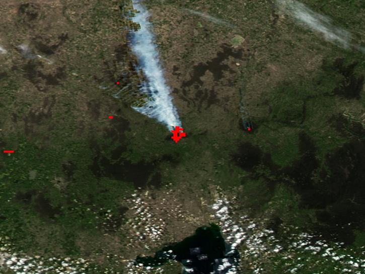
Emergency teams use MODIS data to monitor the locations and sizes of wildfires, observe fire patterns and durations, and track burn scars to help prevent, manage, and predict fires.
Data in Action
Nov. 25, 2015
SHOWING 5 OF 37
Frequently Asked Questions
Earthdata Forum
Our online forum provides a space for users to browse thousands of FAQs about research needs, data, and data applications. You can also submit new questions for our experts to answer.
Submit Questions to Earthdata Forumand View Expert Responses