Access a range of datasets and data tools to further your human dimensions research.
Earth is home to more than eight billion people who depend on the planet’s habitats and resources and the societies they support for food, shelter, wealth, safety and other essential needs. Instrument's aboard Earth-observing satellites can track human activities, such as the conversion of natural land to urban areas, the cultivation of agricultural land, and our movement and consumption of natural resources. The combination of remotely sensed data with data collected by national and sub-national government agencies (such as census, disease, species variety, and similar data) enables investigations into the impact of human activities on Earth. Additionally, these data are a vital resource for managing disaster response, such as using nighttime lights data to monitor power outages following severe weather or thermal anomaly data to track the movement of wildfires near populated areas.
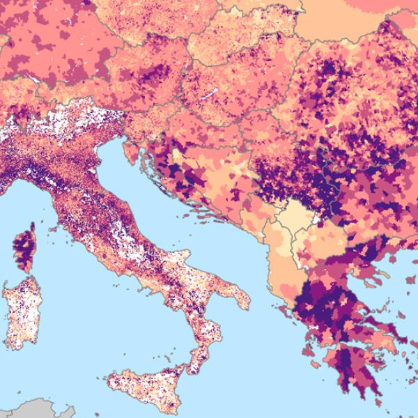
NASA’s human dimension data products include hourly fossil-fuel emissions, inland water measurements, deforested area maps, seasonal hunting conditions, road network maps, wildfire burn scar assessments, human population measurements, air pollution tracking, socioeconomic and demographic household surveys, and vulnerability to climate change analysis.
Human Dimensions Sub-Topics

Latest Human Dimensions News
Join Our Community of NASA Data Users
While NASA data are openly available without restriction, an Earthdata Login is required to download data and to use some tools with full functionality.
Learn About the Benefits of Earthdata LoginFrequently Asked Questions
Earthdata Forum
Our online forum provides a space for users to browse thousands of FAQs about research needs, data, and data applications. You can also submit new questions for our experts to answer.
Submit Questions to Earthdata Forumand View Expert Responses

