Delivery of Suomi National Polar-orbiting Partnership (Suomi NPP) satellite data products will cease on November 1, 2026. Data users should transition now to alternative products from NOAA-21 and NOAA-20.
Suomi NPP data announcement
Land Use/Land Cover Classification News
Articles, resources, and announcements from Land Use/Land Cover Classification.
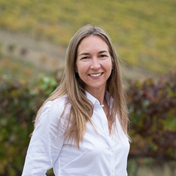
Who uses NASA Earth science data? Dr. Nancy Glenn, to study dryland ecosystems.
Data User Story
April 22, 2021
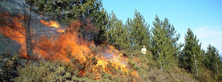
Is the delicate relationship between fire and plants changing?
Feature Article
March 1, 2021

Invasive species cost the U.S. economy approximately $120 billion a year and disrupt the dynamics of ecosystems. Researchers are increasingly using remote sensing to map where invasive species are and where they could spread in order to minimize their damage.
Feature Article
Feb. 25, 2021
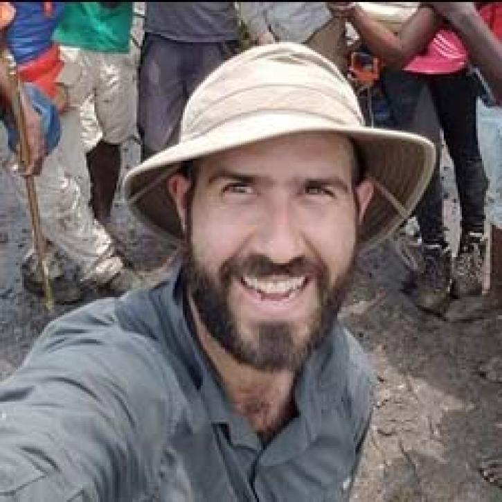
Coastal ecosystems are some of Earth’s most biologically varied environments, especially coastal mangrove forests. Dr. Lagomasino uses Earth observing data to study these vital biomes.
Data User Story
Feb. 25, 2021
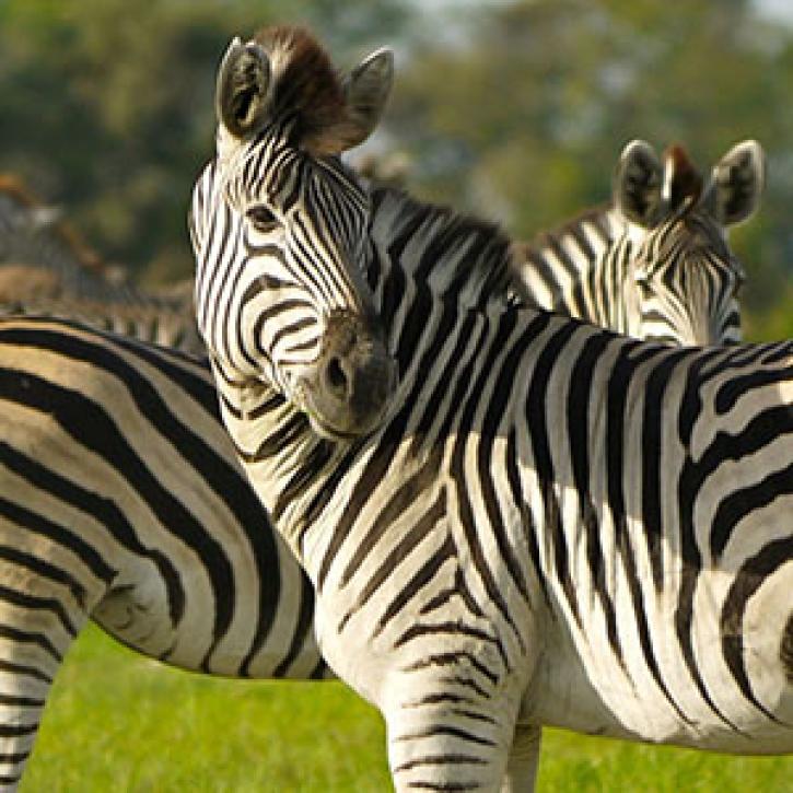
A new generation reconnects with greener pastures.
Feature Article
Dec. 28, 2020
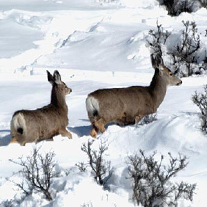
Satellite sensing of summer plants and winter snow helps biologists predict mule deer populations.
Feature Article
Dec. 28, 2020
Ground observers and satellites monitor plant life cycles and the timing of seasons.
Feature Article
Dec. 28, 2020
Vegetation data helps researchers and resource managers develop a new approach to stopping species invasions.
Feature Article
Dec. 28, 2020
SHOWING 8 OF 34