We are in the process of migrating all NASA Earth science data sites into Earthdata from now until end of 2026. Not all NASA Earth science data and resources will appear here until then. Thank you for your patience as we make this transition.
Read about the Web Unification Project
Surface Thermal Properties Learning Resources
Webinars, tutorials, data recipes and more to help you work with Surface Thermal Properties.
Filters

Learn how to access improved Moderate Resolution Imaging Spectroradiometer (MODIS) Land Surface Temperature data via Earthdata Search, covering product details and download steps.
Tutorial
April 10, 2017

Learn how to use Moderate Resolution Imaging Spectroradiometer (MODIS) Version 6 Land Surface Temperature data, and access details about its scale factors, visualization, and related resources.
Tutorial
April 10, 2017

Satellite data from NASA's MODIS instrument illustrates the relationship between snow cover and temperature and the viability of skiing conditions over time.
Data in Action
Feb. 2, 2017

Learn how to interpret Moderate Resolution Imaging Spectroradiometer (MODIS) Land Surface Temperature data quality information, including decoding binary quality layers and utilizing tools for data analysis.
Tutorial
Jan. 23, 2017

View LP DAAC's presentation at the Black Hills Digital Mapping Association's 2016 annual conference.
Webinar
Oct. 4, 2016

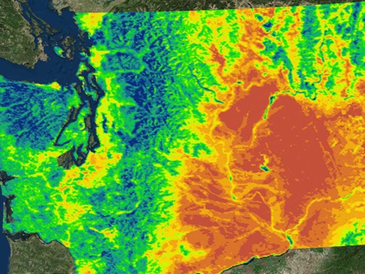
Learn how MODIS data reprocessing campaigns make the data more accurate, especially for temperature estimates of error-prone land-cover types such as deserts.
Data in Action
Feb. 24, 2016
NASA's Northwest U.S. Agriculture Team used MODIS data to calculate the growing degree days of the codling moth.
Data in Action
Feb. 14, 2015

Explore how MODIS data supports research on tick-borne disease spread in Kansas, water stress in African rangelands, and long-term greenness trends in Alaska’s boreal ecosystems.
Data in Action
Oct. 28, 2014
SHOWING 8 OF 24
Frequently Asked Questions
Earthdata Forum
Our online forum provides a space for users to browse thousands of FAQs about research needs, data, and data applications. You can also submit new questions for our experts to answer.
Submit Questions to Earthdata Forumand View Expert Responses