We are in the process of migrating all NASA Earth science data sites into Earthdata from now until end of 2026. Not all NASA Earth science data and resources will appear here until then. Thank you for your patience as we make this transition.
Read about the Web Unification Project
Ocean Learning Resources
Webinars, tutorials, data recipes and more to help you work with Ocean.
Get Started with the Data Basics
Processing remote sensing data can be overwhelming at first. We have resources to help with your journey through finding, processing, and visualizing remote sensing data.

The life cycle of Earth observation data is rich and complex, with many points of entry along the pipeline. From collection to visualization, we dive deep into the basics to demystify the incredible data in our catalog.
Data Basics
Oct. 19, 2024
Fundamentals of Remote Sensing introduces participants to the underlying science of satellite remote sensing.
Training
Ongoing
Filters
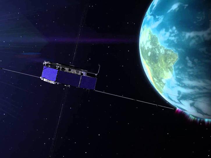
The GNSS-based Upper Atmospheric Realtime Disaster Information and Alert Network (GUARDIAN) aims to enhance early warning of tsunamis.
Data in Action
Dec. 13, 2024

Artificial intelligence methods can be powerful tools to study our oceans.
Data in Action
Dec. 12, 2024

This is the first in a five-part webinar series to introduce NASA's Ice, Cloud, and land Elevation-2 (ICESat-2) platform and the platform's data, tools, and applications.
Webinar
Oct. 28, 2024

Sentinel-6 and Multi-Scale Ultra-High Resolution data reveal how Hurricane Helene rapidly intensified in the warm Gulf waters.
Data in Action
Oct. 3, 2024
This ARSET training provides an overview of past and current hyperspectral sensors and NASA's PACE mission.
Training
Sept. 25 - Oct. 9, 2024

Use HiTIDE to select, subset, and download KaRIn sea surface height data from SWOT.
Tutorial
June 11, 2024

Learn how to acquire HARP2 data, plot geolocated imagery, and make animations of multi-angled data.
Data Recipe
May 20, 2024

Research shows that coastal sea surface temperatures could be used as a proxy for detecting changes that are expected in the cycling of water between the oceans and continents.
Data in Action
April 18, 2024
SHOWING 8 OF 129
Frequently Asked Questions
Earthdata Forum
Our online forum provides a space for users to browse thousands of FAQs about research needs, data, and data applications. You can also submit new questions for our experts to answer.
Submit Questions to Earthdata Forumand View Expert Responses