Delivery of Suomi National Polar-orbiting Partnership (Suomi NPP) satellite data products will cease on November 1, 2026. Data users should transition now to alternative products from NOAA-21 and NOAA-20.
Suomi NPP data announcement
Ocean Learning Resources
Webinars, tutorials, data recipes and more to help you work with Ocean.
Get Started with the Data Basics
Processing remote sensing data can be overwhelming at first. We have resources to help with your journey through finding, processing, and visualizing remote sensing data.

The life cycle of Earth observation data is rich and complex, with many points of entry along the pipeline. From collection to visualization, we dive deep into the basics to demystify the incredible data in our catalog.
Data Basics
Oct. 19, 2024
Fundamentals of Remote Sensing introduces participants to the underlying science of satellite remote sensing.
Training
Ongoing
Filters
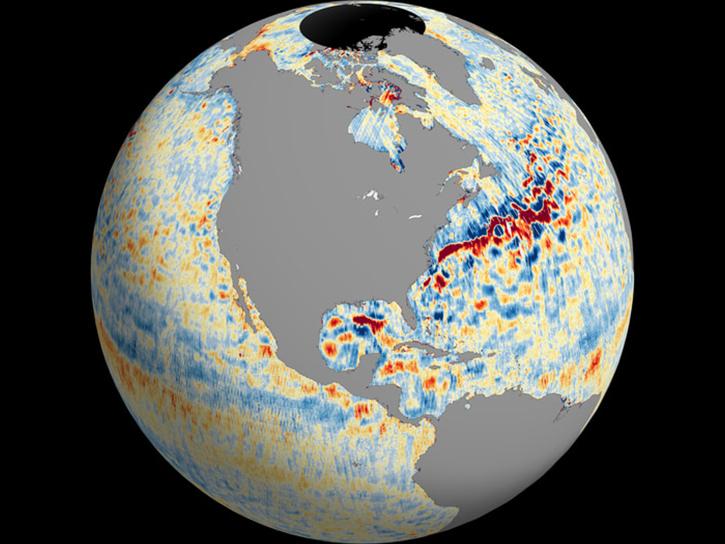
SWOT data reveals the topography of the ocean surface at finer scales than ever before.
Data in Action
Dec. 7, 2023
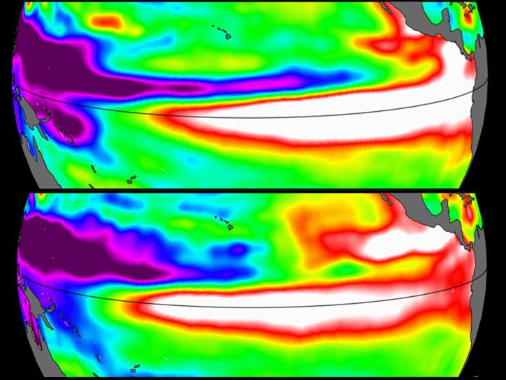
Sea surface height data from the Sentinel-6 Michael Freilich mission reveal complex interactions between the ocean and the atmosphere that affect global weather and climate such as El Niño.
Data in Action
Oct. 31, 2023
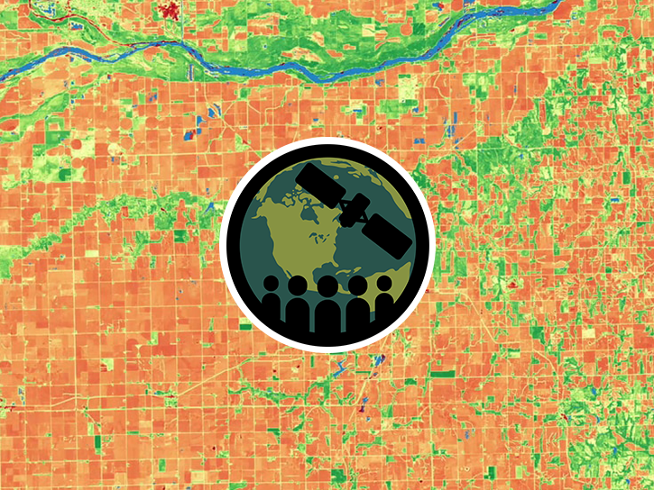
This training provides an overview of spectral indices for land and aquatic applications.
Training
Oct. 26 - Nov. 9, 2023

Esta capacitación amplía la teoría y aplicaciones de datos SAR para detectar y monitorear inundaciones usando series temporales de SAR.
Training
Oct. 24 - Nov. 1, 2023
This training expands on the theory and applications of SAR data to detect and monitor floods using SAR time-series.
Training
Oct. 24 - Nov. 1, 2023
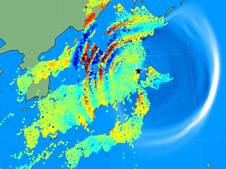
Learn how to use the GNSS-based Upper Atmospheric Realtime Disaster Information and Alert Network (GUARDIAN) ionospheric monitoring software to supplement early warning systems (EWS) detections of natural hazards such as tsunamis, volcanic eruptions, earthquakes, and geomagnetic and solar storms.
Webinar
Sept. 18, 2023
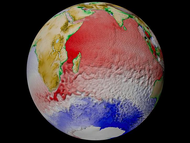
SWOT provides high-resolution data to help researchers monitor the vertical transport of heat and carbon within the ocean.
Data in Action
Sept. 15, 2023
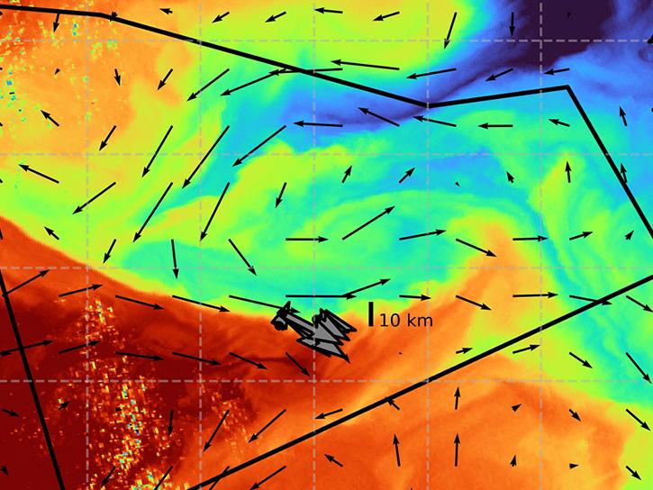
The S-MODE project combined airborne remote sensing and in-situ data to reveal upper-ocean dynamics and small-scale ocean features.
Data in Action
Aug. 29, 2023
SHOWING 8 OF 132
Frequently Asked Questions
Earthdata Forum
Our online forum provides a space for users to browse thousands of FAQs about research needs, data, and data applications. You can also submit new questions for our experts to answer.
Submit Questions to Earthdata Forumand View Expert Responses