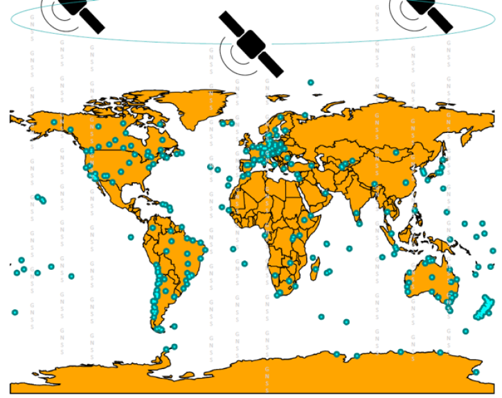
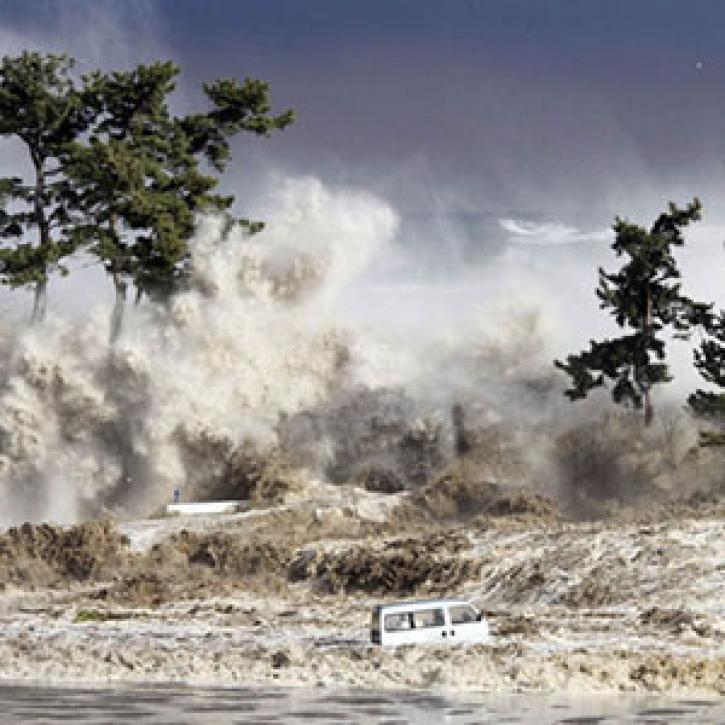
Ocean waves data from NASA range from regularly updated high-resolution Sentinel-1 radar imagery to historical Seasat data. Our datasets and tools help users find and integrate the data they need to learn more about the nature of ocean waves and their contributions to sea and coastal processes.
We are in the process of migrating all NASA Earth science data sites into Earthdata from now until end of 2026. Not all NASA Earth science data and resources will appear here until then. Thank you for your patience as we make this transition.
Read about the Web Unification Project