Delivery of new Suomi National Polar-orbiting Partnership (Suomi NPP) satellite observations will cease on November 2, 2026. Data users should transition now to alternative products from NOAA-21 and NOAA-20.
Suomi NPP data announcement
Sea Surface Topography News
Articles, resources, and announcements from Sea Surface Topography.
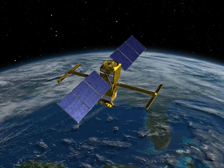
This virtualized data representation of the SWOT version D Basic time series allows users to access and download only the parts they want.
News
June 5, 2026
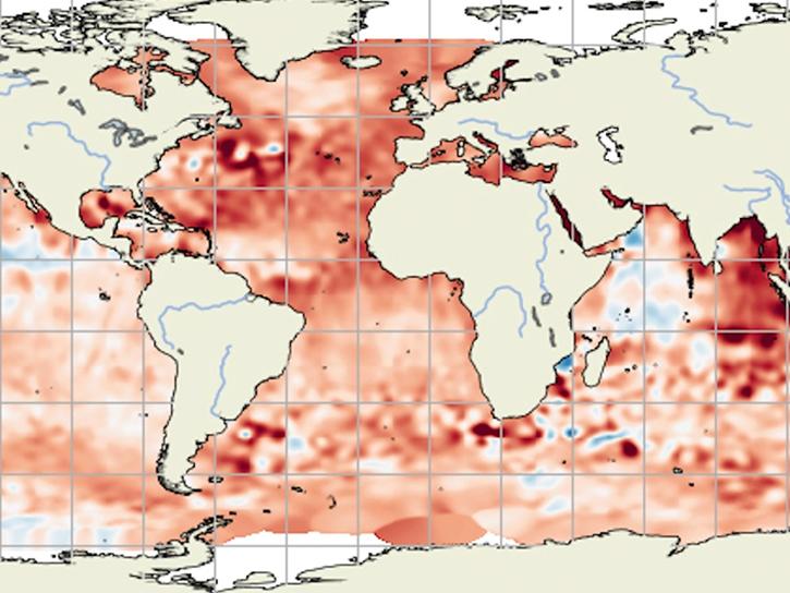
Sentinel-6B observations will also inform early warnings and forecasts systems.
News
Dec. 16, 2025

Drill down to the specific NASA Earth science data you need using OPeNDAP.
News
Sept. 10, 2025

Join us on Aug. 21, 2025, at 2:00 p.m. EDT (-04:00 UTC) to learn how to use Python and Xarray to access virtualized, exploratIon- and analysis-ready physical oceanography datasets from NASA's PO.DAAC.
Webinar
Aug. 12, 2025
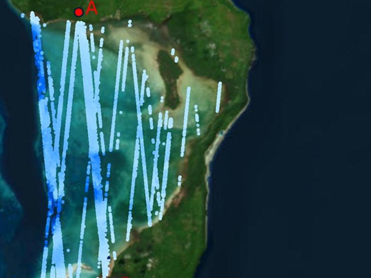
ATL24, a new space-based lidar product, provides bathymetry data that can be used to characterize nearshore habitats and create safer maritime transportation channels.
News
May 2, 2025
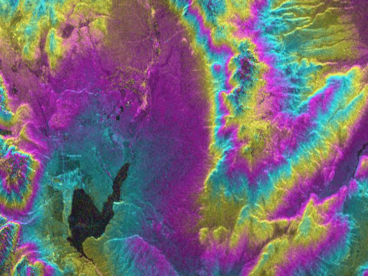
As an expert in interferometric synthetic aperture radar (InSAR), Dr. Bekaert is on the cutting edge of data science.
Data User Story
Nov. 7, 2024
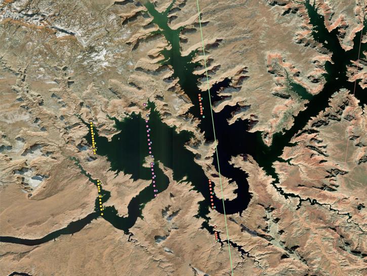
This is the first in a five-part webinar series to introduce NASA's Ice, Cloud, and land Elevation-2 (ICESat-2) platform and the platform's data, tools, and applications.
Webinar
Oct. 28, 2024
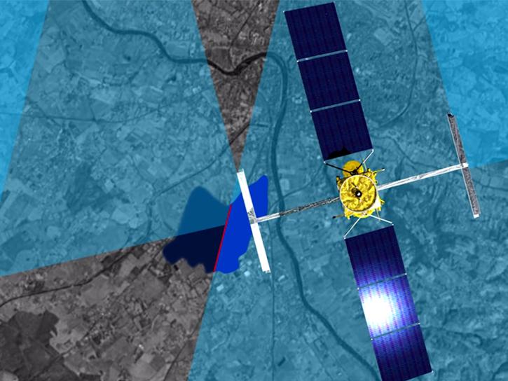
Hydrocron, an API for time series retrievals of hydrology data products from the Surface Water and Ocean Topography (SWOT) mission, is now available.
News
Oct. 22, 2024
SHOWING 8 OF 43