Delivery of Suomi National Polar-orbiting Partnership (Suomi NPP) satellite data products will cease on November 1, 2026. Data users should transition now to alternative products from NOAA-21 and NOAA-20.
Suomi NPP data announcement
Sea Surface Topography News
Articles, resources, and announcements from Sea Surface Topography.

The SWOT On-Demand Level 2 Raster Generation System (SWODLR) for Surface Water and Ocean Topography (SWOT) data is now part of Earthdata Search.
News
Oct. 9, 2024

Hydrocron enables users to receive all Surface Water and Ocean Topography (SWOT) observations for a specific river ID within a specified date range.
News
Aug. 27, 2024

Validated science data products from the Surface Water and Ocean Topography (SWOT) mission are available through NASA Earthdata Search.
News
Aug. 14, 2024
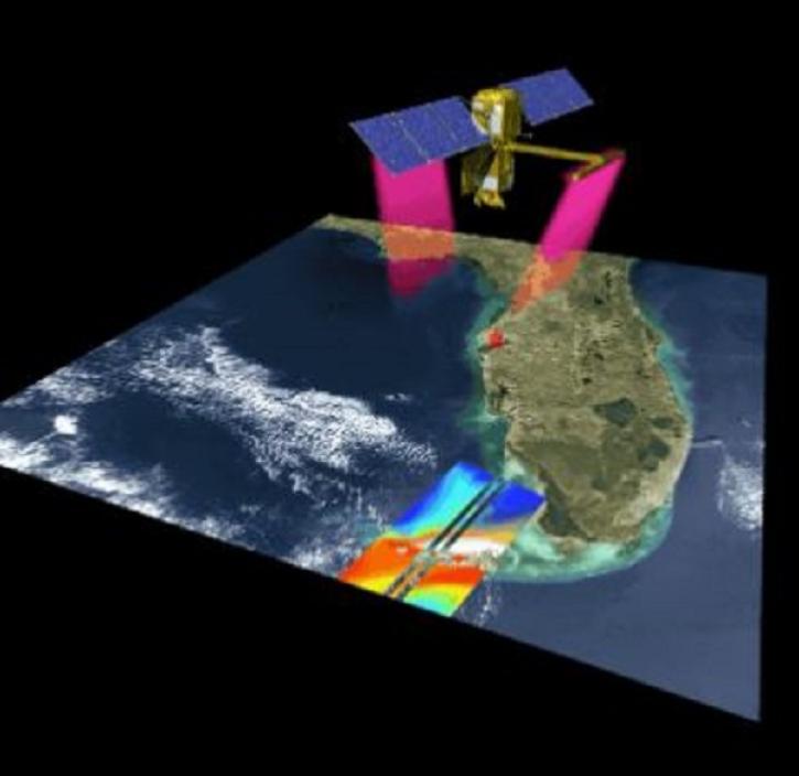
Recently released datasets from the SWOT mission provide scientists with previously unavailable measurements of Earth's surface water.
Feature Article
April 25, 2024
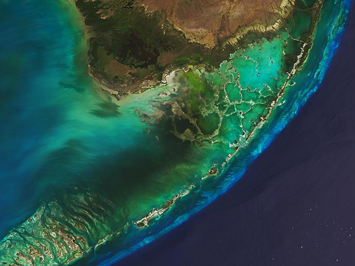
This Understanding Needs to Broaden Outside Use of NASA Data (UNBOUND) workshop connected coastal zone groups with key NASA data.
News
March 7, 2024

New instruments like the Ka-band Radar Interferometer present NASA Engineers with calibration and validation challenges.
Data User Story
Jan. 8, 2024
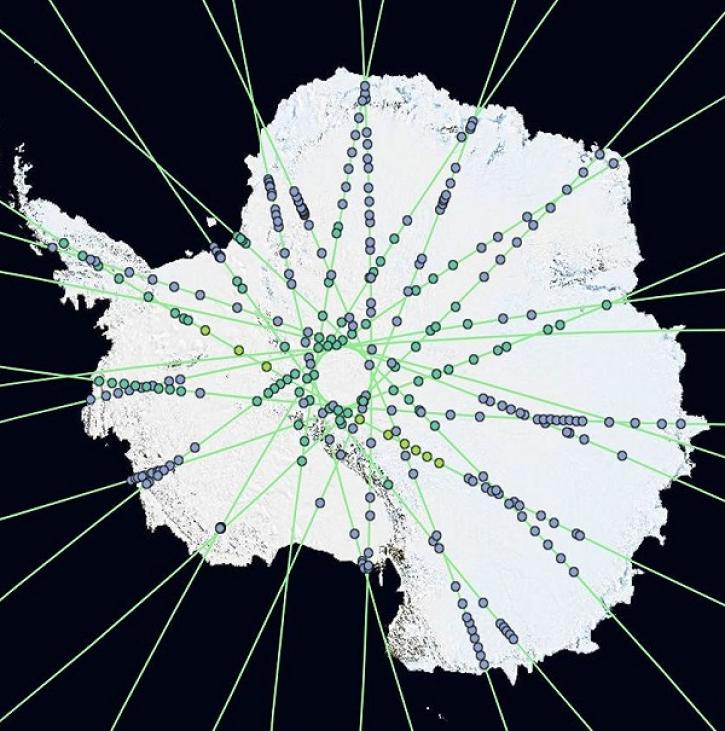
OpenAltimetry lets users explore changes on Earth’s surface around the globe and over time, and all they need is a web browser.
Feature Article
Dec. 20, 2023
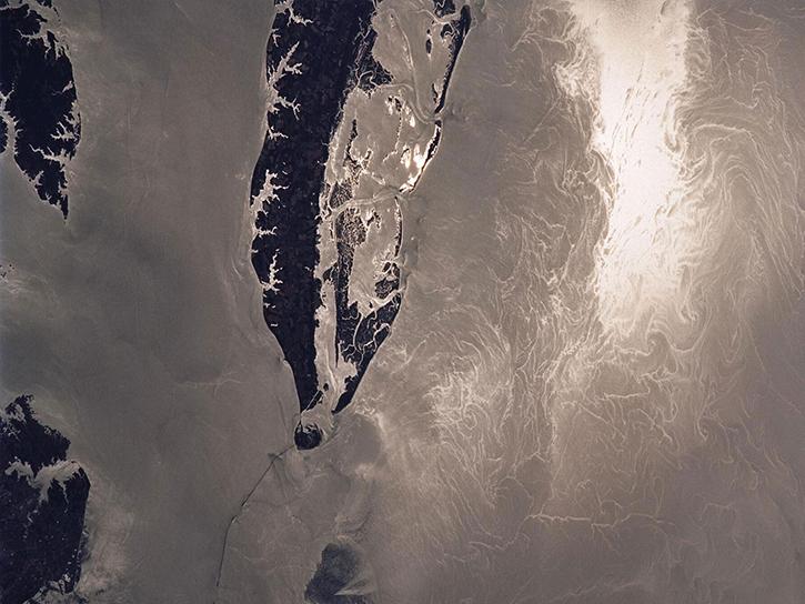
View a recording of the PO.DAAC open office hour that discusses the Surface Water and Ocean Topography (SWOT) data release.
News
Dec. 11, 2023
SHOWING 8 OF 43