Delivery of Suomi National Polar-orbiting Partnership (Suomi NPP) satellite data products will cease on November 1, 2026. Data users should transition now to alternative products from NOAA-21 and NOAA-20.
Suomi NPP data announcement
Sea Surface Topography News
Articles, resources, and announcements from Sea Surface Topography.

The participation by NASA's Physical Oceanography Distributed Active Archive Center (PO.DAAC) in the Earthdata Forum gives users the chance to communicate with and learn from physical oceanography experts.
News
July 12, 2023
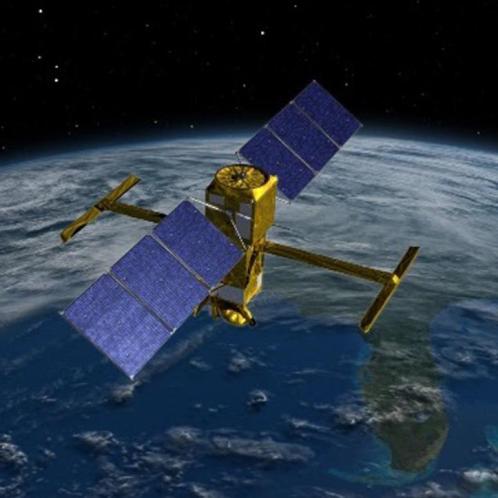
Careful calibration and validation ensure that the Surface Water and Ocean Topography mission will provide the best data possible.
Feature Article
March 17, 2023
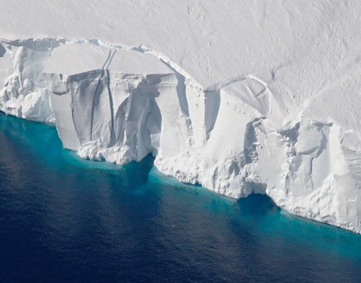
The new Sea Level Change Data Pathfinder highlights the different datasets used to piece together the status and drivers of sea level rise.
Feature Article
Feb. 18, 2022
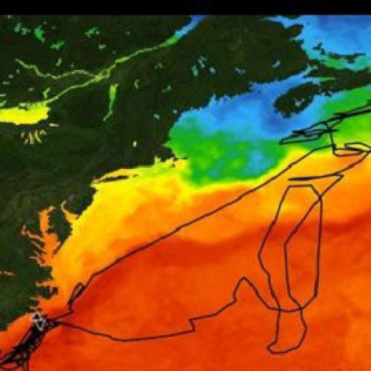
CEOS' online platform makes it easier for new users to find, visualize, and analyze remotely sensed and in-situ data on marine ecosystems.
Feature Article
Dec. 8, 2021

Who uses NASA Earth science data? Adnan Al-Azri, to study why periodic harmful blooms of algae occur in the Sea of Oman and Arabian Sea.
Data User Story
April 22, 2021
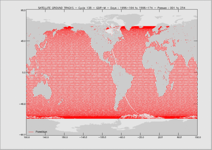
Knowing the precise location of a satellite in space is critical for determining sea surface height and, through this, the rate of global mean sea level rise.
Feature Article
April 19, 2021

Knowing exactly where you are isn't good enough for science.
Feature Article
Dec. 28, 2020

Satellite data help sea-going oceanographers pursue an elusive ocean layer.
Feature Article
Dec. 28, 2020
SHOWING 8 OF 43