Delivery of Suomi National Polar-orbiting Partnership (Suomi NPP) satellite data products will cease on November 1, 2026. Data users should transition now to alternative products from NOAA-21 and NOAA-20.
Suomi NPP data announcement
Terrestrial Hydrosphere News
Articles, resources, and announcements from Terrestrial Hydrosphere.
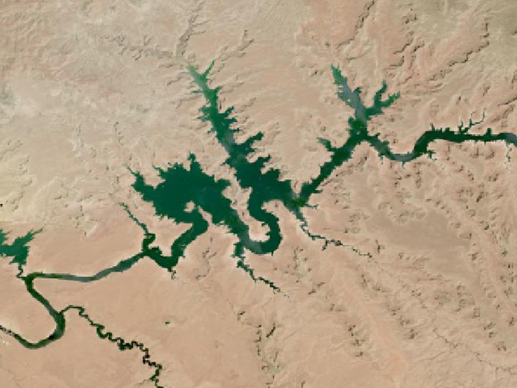
The two largest reservoirs in the United States provide water to 40 million people and irrigation for 5 million acres of farmland.
Worldview Image of the Week
Aug. 24, 2026
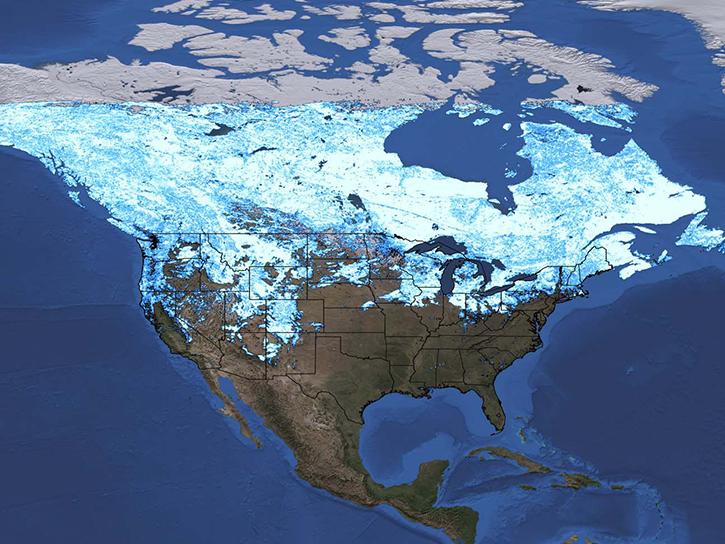
A recent study examined the accuracy of satellite data for gauging snow depth. Researchers found that NASA's ICESat-2 can provide reliable estimates of snow depth.
News
July 20, 2026
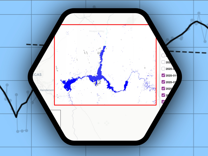
Streamline access and analysis of OPERA surface water extent with GIS services while avoiding downloading and managing data locally.
News
July 8, 2026

OPERA's dynamic surface water extent layer and Landsat images show extremely low water levels in this Arizona reservoir in June 2026.
Worldview Image of the Week
June 29, 2026
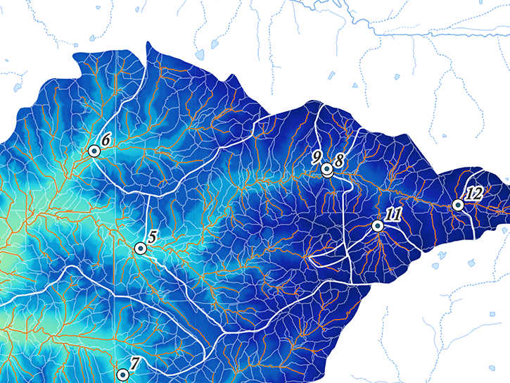
The NLDAS-2 dataset was added to the AIMS decision-making platform to create hydrology and water quality simulations for farmers and land managers across the country.
News
May 14, 2026

The MODIS instrument aboard the Terra platform captured this image on April 27, 2026.
Worldview Image of the Week
May 1, 2026

NASA significantly enhanced its MODIS and VIIRS near real-time flood products, enabling users to distinguish between unusual and recurring flooding.
Blog
April 10, 2026
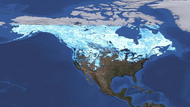
A data training webinar to learn about the ICESat-2 Global Geolocated Photons product and two snow depth estimation methods.
Webinar
April 10, 2026
SHOWING 8 OF 146