Delivery of Suomi National Polar-orbiting Partnership (Suomi NPP) satellite data products will cease on November 1, 2026. Data users should transition now to alternative products from NOAA-21 and NOAA-20.
Suomi NPP data announcement
Terrestrial Hydrosphere News
Articles, resources, and announcements from Terrestrial Hydrosphere.
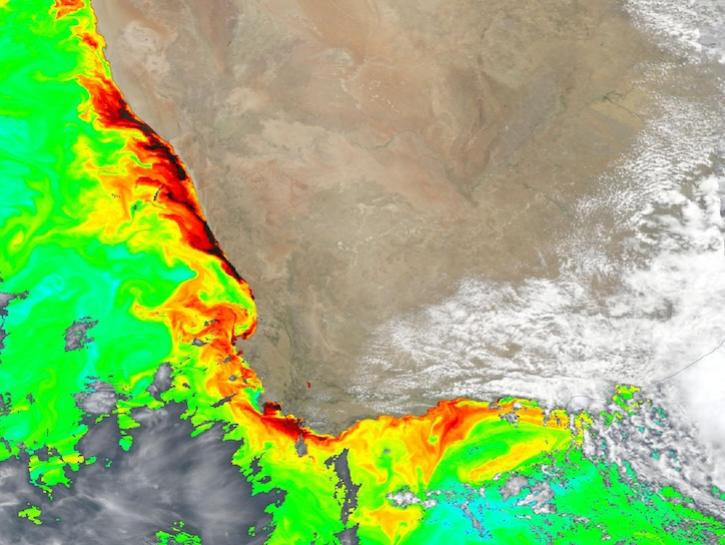
Dark colors indicate high chlorophyll concentrations in this image captured on Oct 22, 2024, by the Ocean Color Instrument (OCI) instrument.
Worldview Image of the Week
Oct. 25, 2024
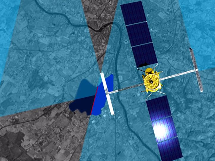
Hydrocron, an API for time series retrievals of hydrology data products from the Surface Water and Ocean Topography (SWOT) mission, is now available.
News
Oct. 22, 2024

The SWOT On-Demand Level 2 Raster Generation System (SWODLR) for Surface Water and Ocean Topography (SWOT) data is now part of Earthdata Search.
News
Oct. 9, 2024

Hydrocron enables users to receive all Surface Water and Ocean Topography (SWOT) observations for a specific river ID within a specified date range.
News
Aug. 27, 2024

Validated science data products from the Surface Water and Ocean Topography (SWOT) mission are available through NASA Earthdata Search.
News
Aug. 14, 2024
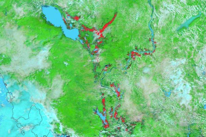
Image captured on August 7, 2024, by the MODIS instrument aboard NASA's Terra satellite.
Worldview Image of the Week
Aug. 8, 2024

A NASA-funded project is helping U.S. college students learn how to work with ECOSTRESS mission data and communicate the science behind these data.
News
July 23, 2024
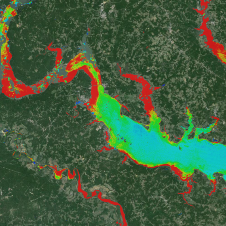
A combination of Landsat and Sentinel-2 imagery, NASA near real-time data, and machine learning provides near real-time access to high-resolution water quality maps.
News
June 27, 2024
SHOWING 8 OF 146