Delivery of Suomi National Polar-orbiting Partnership (Suomi NPP) satellite data products will cease on November 1, 2026. Data users should transition now to alternative products from NOAA-21 and NOAA-20.
Suomi NPP data announcement
Terrestrial Hydrosphere News
Articles, resources, and announcements from Terrestrial Hydrosphere.

The Global Land Ice Measurements from Space (GLIMS) Glacier Database provides timely data on more than 200,000 glaciers around the world.
Feature Article
April 8, 2025
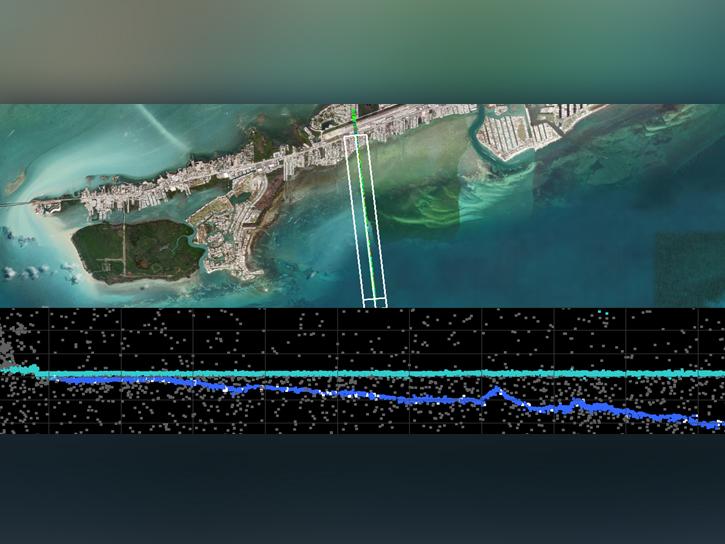
In the third webinar of the ICESat-2 series, learn how to discover, access, and work with a new bathymetric data product, ATL24.
Webinar
March 24, 2025

This citizen science research effort is creating a flurry of excitement for measuring snow in the Catskill and Adirondack Mountains.
News
March 14, 2025
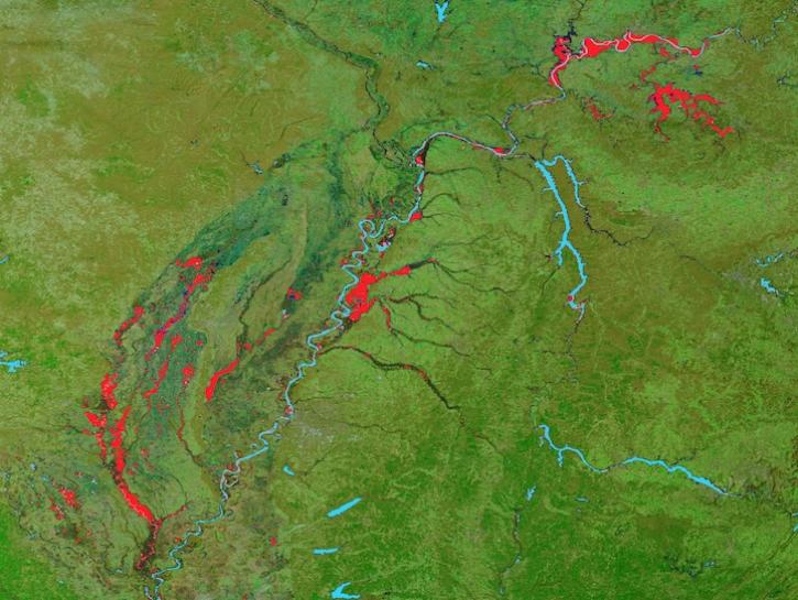
Image captured on February 25, 2025, by the MODIS instrument aboard the Terra platform.
Worldview Image of the Week
Feb. 27, 2025
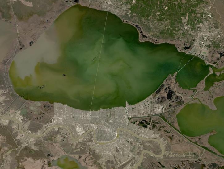
Image captured on February 2, 2025, from the OLI instrument aboard the Landsat 8 satellite.
Worldview Image of the Week
Feb. 6, 2025
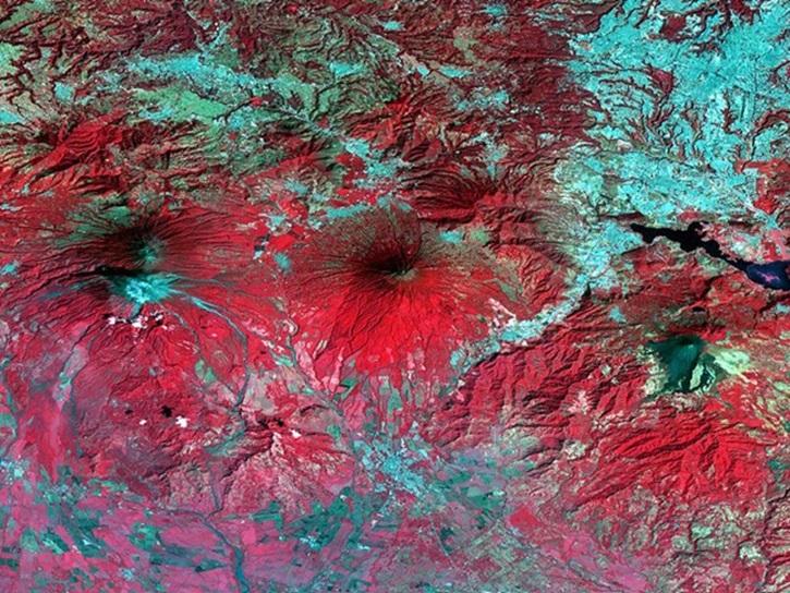
The final processing of Advanced Spaceborne Thermal Emission and Reflection Radiometer (ASTER) data will make its archive more accessible to users.
Feature Article
Jan. 21, 2025

Learn more about the NASA Commercial Satellite Data Acquisition (CSDA) program vendor Capella Space and how to discover, access, and work with their SAR data products.
Webinar
Dec. 30, 2024

Sentinel-1 synthetic aperture radar (SAR) data are used to create maps of surface water extent for research, planning, and disaster response.
News
Oct. 28, 2024
SHOWING 8 OF 146