We are in the process of migrating all NASA Earth science data sites into Earthdata from now until end of 2026. Not all NASA Earth science data and resources will appear here until then. Thank you for your patience as we make this transition.
Read about the Web Unification Project
NOAA-20 Resources
Documents
| Name Sort descending | Description | File Type | Date Published | |
|---|---|---|---|---|
| Discover and Access NASA's Near Real-Time Global Flood Products | This presentation provides an introduction to NASA's near real-time global flood products available through NASA's Land, Atmosphere Near real-time Capability for Earth observation. Information about how to discover, access, and use these NRT products is also provided. | PDF (16.77 mb) | Sept. 17, 2025 |
SHOWING 1 OF 1
NOAA-20 Learning Resources

This training covers the theoretical approaches and key datasets to estimate historical PM2.5 from satellite aerosol optical depth.
Training
July 8-22, 2026

This three-part ARSET training covers flood monitoring via remote sensing, NASA flood products, and GEOGLOWS streamflow predictions.
Training
June 18-25, 2026

Join us on Wed., September 17, 2025, at 2:00 p.m. EDT (-04:00 UTC) to learn how to discover, access, and use NASA's near real-time global flood products .
Webinar
Aug. 29, 2025

Agricultural burning in Kansas produces smoky skies and healthy crops.
Data in Action
June 6, 2025

Our Earth Data Officer, Katie Baynes, spoke at the Federal GIS Conference Plenary. In case you missed her presentation, here is a story map for you to catch up on how NASA Earth data can be leveraged in your GIS project.
StoryMap
March 5, 2025

Due to unforeseen circumstances, this webinar is postponed and will be rescheduled soon. We apologize for the short notice and appreciate your continued interest and support. We look forward to your attendance at our rescheduled webinar, to be announced.
Webinar
June 26, 2024

This webinar introduces the Geostationary Earth Orbit (GEO)-Low-Earth Orbit (LEO) Dark Target Aerosol data product suite and shows how to find, access, and download the data.
Webinar
May 16, 2024

Learn more about NASA's Application for Extracting and Exploring Analysis Ready Samples (AppEEARS). This webinar showcases the system's capabilities and highlights learning resources to help simplify data access workflows using AppEEARS.
Webinar
April 9, 2024
SHOWING 8 OF 29
NOAA-20 News
View All News
Filters

Image captured July 19, 2023, by the VIIRS instrument aboard the joint NASA/NOAA NOAA-20 satellite.
Worldview Image of the Week
July 20, 2023

Image captured June 27, 2023, by the VIIRS instrument aboard the joint NASA/NOAA NOAA-20 satellite.
Worldview Image of the Week
June 29, 2023

NASA Earth science data help scientists like Dr. Eric Wilcox investigate how the interaction of aerosols and clouds impacts climate.
Data User Story
June 29, 2023

Data from NASA’s Land Processes DAAC help Dr. Helen Poulos understand climate-induced change in the forests of the Southwestern U.S.
Data User Story
May 25, 2023

The Visible Infrared Imaging Radiometer Suite (VIIRS)-based products provide more accurate global measurements of aerosol optical thickness.
News
May 5, 2023

The migration is part of NASA’s Earthdata Cloud Evolution, which gives users new ways to access NASA Earth science data.
News
April 14, 2023
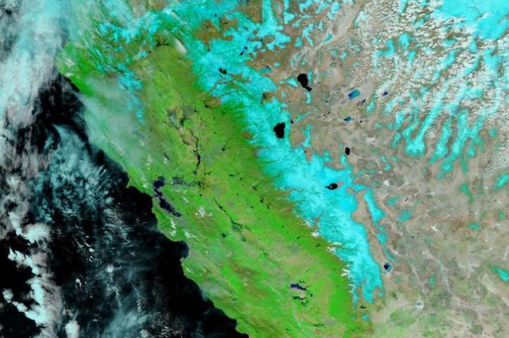
Image captured Apr 5, 2023, by the VIIRS instrument aboard the joint NASA/NOAA NOAA-20 satellite.
Worldview Image of the Week
April 6, 2023

Next-generation instruments aboard Joint Polar Satellite System spacecraft provide continuity to the AIRS project that began in 2002.
Feature Article
Feb. 27, 2023
SHOWING 8 OF 116
Frequently Asked Questions
Earthdata Forum
Our online forum provides a space for users to browse thousands of FAQs about research needs, data, and data applications. You can also submit new questions for our experts to answer.
Submit Questions to Earthdata Forumand View Expert Responses