We are in the process of migrating all NASA Earth science data sites into Earthdata from now until end of 2026. Not all NASA Earth science data and resources will appear here until then. Thank you for your patience as we make this transition.
Read about the Web Unification Project
Terra Resources
Terra Learning Resources
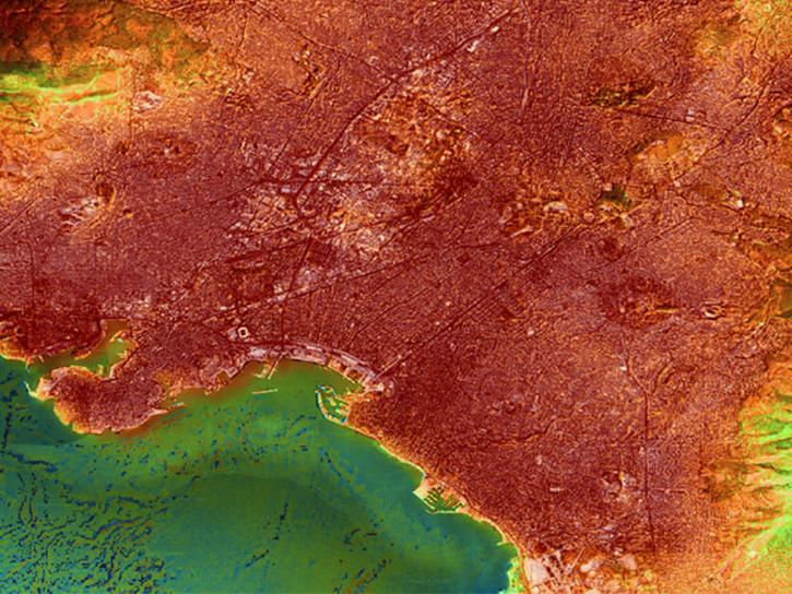
Europe experienced a heat wave in 2019, highlighting the dangers of urban heat islands and the potential of ECOsystem Spaceborne Thermal Radiometer (ECOSTRESS) data to identify at-risk areas.
Data in Action
Aug. 21, 2019
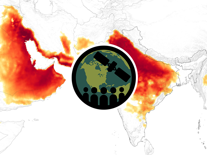
This ARSET training focuses on Earth observation data useful for disaster risk assessment.
Training
Aug. 6-15, 2019
Esta capacitación de ARSET aborda cómo utilizar las observaciones de la Tierra para rastrear los cambios en el uso del suelo.
Training
July 9-23, 2019
This ARSET training highlights a tool that uses earth observations to track land degradation and urban development that meet SDG targets.
Training
July 9-23, 2019
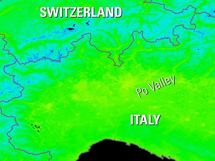
Explore how NASA data helps track NDVI trends in Spain, analyze rising land surface temperatures in Italy, and detect geothermal anomalies in Turkey using MODIS and ASTER imagery.
Data in Action
June 18, 2019
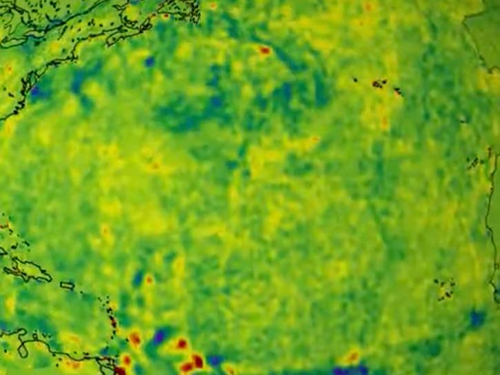
NASA data helps researchers track post-storm changes in sea surface temperature and ocean salinity.
Data in Action
June 12, 2019
This ARSET training focuses on integrating NASA Earth observations into water quality monitoring decision-making processes.
Training
June 5-19, 2019
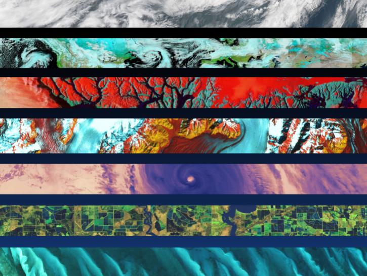
Discover how a NASA DEVELOP team assessed and mapped changes in the risk of wildfires following a beetle infestation.
Data in Action
April 24, 2019
SHOWING 8 OF 235
Terra News
View All News
Filters
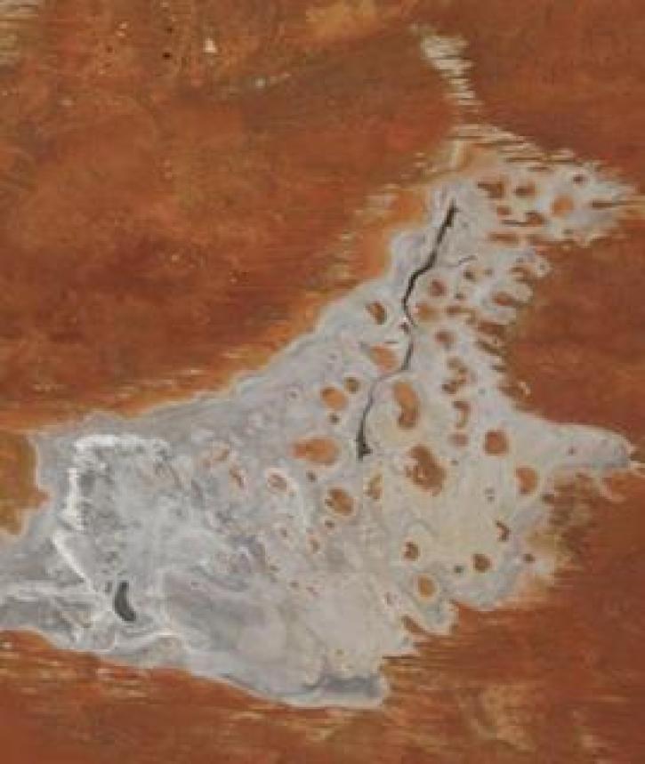
Image captured on 11 January 2021, by the MODIS instrument, aboard the Terra satellite.
Worldview Image of the Week
Jan. 19, 2021

The Global Navigation Satellite System (GNSS) enables the precise location of points on Earth’s surface. For geodesists like Dr. Herring, it also is a key geodetic technique for his studies of surface deformation processes.
Data User Story
Jan. 7, 2021

Aerosols have a huge impact on climate and human health. Dr. Steven Massie uses remotely-sensed data to better understand these impacts and improve how aerosols are detected by Earth observing satellites.
Data User Story
Jan. 7, 2021

Image captured on 28 December 2020, by the MODIS instrument, aboard the Terra satellite.
Worldview Image of the Week
Jan. 4, 2021


A new generation reconnects with greener pastures.
Feature Article
Dec. 28, 2020


Science and relief efforts come together in the aftermath of the 2005 Kashmir earthquake.
Feature Article
Dec. 28, 2020
SHOWING 8 OF 450
Frequently Asked Questions
Earthdata Forum
Our online forum provides a space for users to browse thousands of FAQs about research needs, data, and data applications. You can also submit new questions for our experts to answer.
Submit Questions to Earthdata Forumand View Expert Responses