We are in the process of migrating all NASA Earth science data sites into Earthdata from now until end of 2026. Not all NASA Earth science data and resources will appear here until then. Thank you for your patience as we make this transition.
Read about the Web Unification Project
Terra Resources
Terra Learning Resources

Sentinel-6 and Multi-Scale Ultra-High Resolution data reveal how Hurricane Helene rapidly intensified in the warm Gulf waters.
Data in Action
Oct. 3, 2024

Join us to learn more about datasets and tools that enable the harmonization of remote sensing and in situ ecological data products for site-based research.
Webinar
Aug. 22, 2024

Due to unforeseen circumstances, this webinar is postponed and will be rescheduled soon. We apologize for the short notice and appreciate your continued interest and support. We look forward to your attendance at our rescheduled webinar, to be announced.
Webinar
June 26, 2024

This ARSET training focuses on flood risk, heat stress, and drought effects on agricultural landscapes in refugee settings.
Training
June 6-20, 2024

This webinar introduces the Geostationary Earth Orbit (GEO)-Low-Earth Orbit (LEO) Dark Target Aerosol data product suite and shows how to find, access, and download the data.
Webinar
May 16, 2024

Learn more about NASA's Application for Extracting and Exploring Analysis Ready Samples (AppEEARS). This webinar showcases the system's capabilities and highlights learning resources to help simplify data access workflows using AppEEARS.
Webinar
April 9, 2024

This training provides an overview of spectral indices for land and aquatic applications.
Training
Oct. 26 - Nov. 9, 2023

This ARSET training covers the basics of natural hazard risk modeling and exposure development.
Training
Oct. 3-10, 2023
SHOWING 8 OF 235
Terra News
View All News
Filters
FLUXNET is a global network of research sites to measure regional carbon exchange.
Feature Article
July 21, 2020
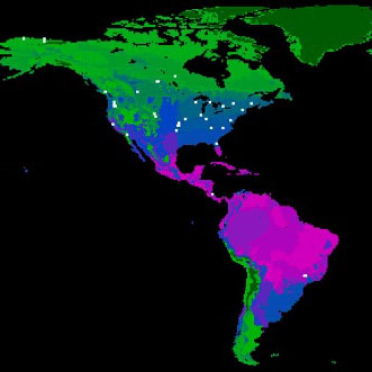
New logic for classifying vegetation using the Global Land AVHRR Dataset (GLAD).
Feature Article
July 21, 2020
The Amazon rainforest is losing ground as human activity fragments the forests.
Feature Article
July 21, 2020

Extreme weather events thousands of miles apart may be linked.
Feature Article
July 21, 2020

Image captured on 23 November 2015 by the MODIS instrument, aboard the Terra satellite.
Worldview Image of the Week
June 26, 2020

Worldview Release 3.7.0 includes Layer Picker, Timeline Availability Panel, Distraction free mode, Vector capabilities, and more!
Blog
June 23, 2020

Image captured on 31 May 2020, by the MODIS instrument, aboard the Terra satellite.
Worldview Image of the Week
June 8, 2020
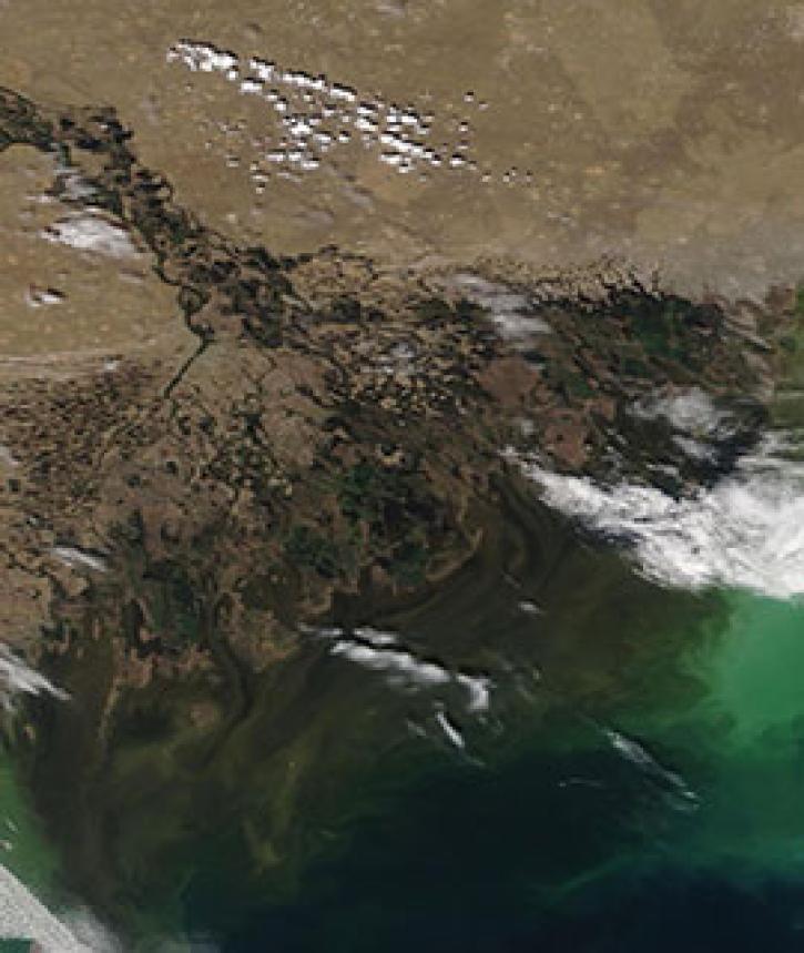
Image captured on 4 May 2020, by the MODIS instrument, aboard the Terra satellite.
Worldview Image of the Week
May 11, 2020
SHOWING 8 OF 450
Frequently Asked Questions
Earthdata Forum
Our online forum provides a space for users to browse thousands of FAQs about research needs, data, and data applications. You can also submit new questions for our experts to answer.
Submit Questions to Earthdata Forumand View Expert Responses