We are in the process of migrating all NASA Earth science data sites into Earthdata from now until end of 2026. Not all NASA Earth science data and resources will appear here until then. Thank you for your patience as we make this transition.
Read about the Web Unification Project
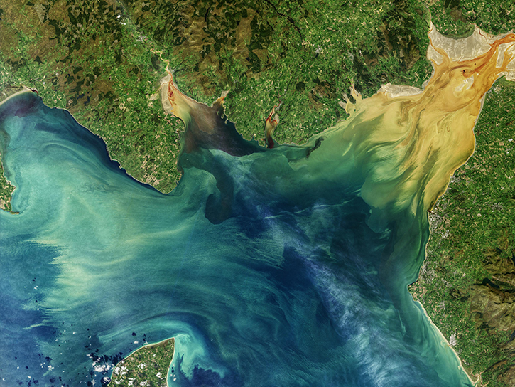
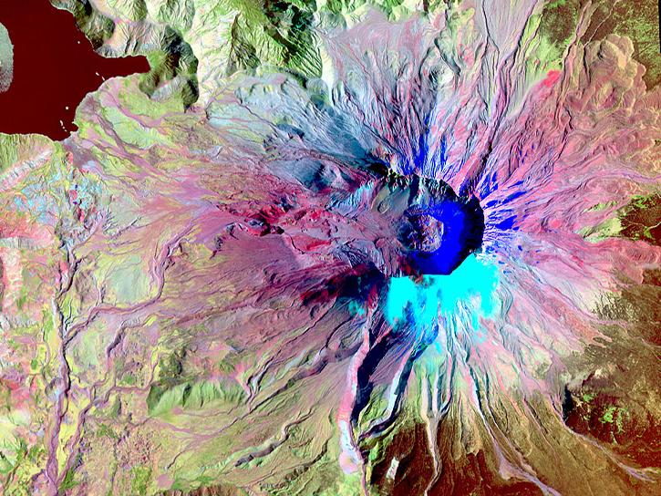
Featured Projects
NASA's Applied Remote Sensing Training (ARSET) program teaches people to use Earth-observing data in their environmental management and decision-making.

At night, satellite images of Earth capture a uniquely human signal—artificial lighting. Remotely-sensed lights at night improve our understanding of interactions between human systems and the environment.
Explore All Projects
Filters

The Low-Cost Sensor AQ Harmonization aims to amalgamate and standardize measurements from a multitude of small air quality networks into one open access framework.

NASA's Light Precipitation Evaluation Experiment (LPVEx) characterized the ability of satellite platforms to detect light rain and evaluate their estimates of rainfall intensity in high latitude, shallow freezing level environments.

The Machine Learning Project team builds tools and pipelines that apply machine learning algorithms to NASA Earth science datasets to improve data discovery.

MACPEX sought to investigate cirrus cloud properties and the processes that affect their impact on radiation.

NASA's Mid-latitude Continental Convective Clouds Experiment (MC3E) provided the most complete characterization of convective cloud systems, precipitation, and the environment that has ever been obtained.
MERLIN ensures the safety of personnel and assets for launches and launch operations at Cape Canaveral Air Force Station and NASA's Kennedy Space Center.
MERLIN C-G ensures the safety of personnel and assets for launches and launch operations at Cape Canaveral Air Force Station and NASA's Kennedy Space Center.
SHOWING 8 OF 199