Delivery of Suomi National Polar-orbiting Partnership (Suomi NPP) satellite data products will cease on November 1, 2026. Data users should transition now to alternative products from NOAA-21 and NOAA-20.
Suomi NPP data announcement
Featured Projects
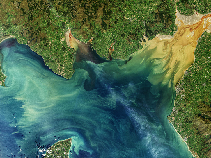
NASA's Applied Remote Sensing Training (ARSET) program teaches people to use Earth-observing data in their environmental management and decision-making.

At night, satellite images of Earth capture a uniquely human signal—artificial lighting. Remotely-sensed lights at night improve our understanding of interactions between human systems and the environment.
Explore All Projects
Filters
TBD
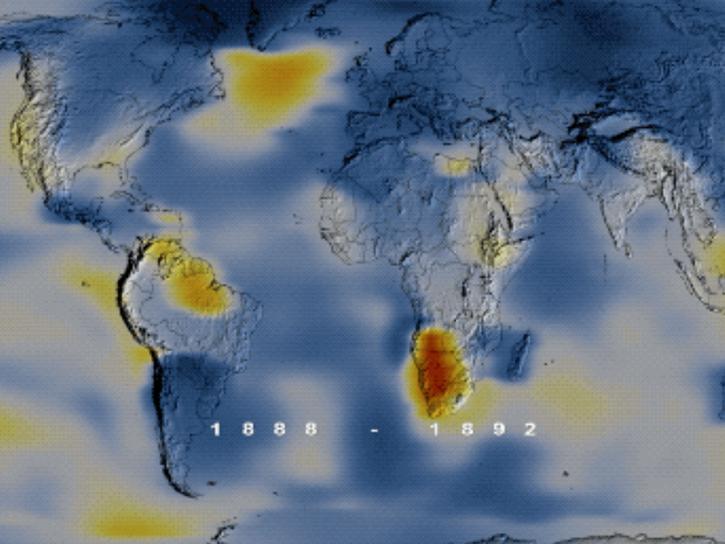
The goal of VEMAP was to evaluate the sensitivity of terrestrial ecosystem and vegetation processes to altered climate forcing and elevated atmospheric CO2.
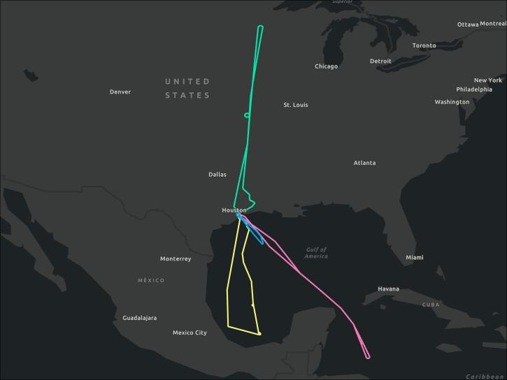
The VIRGAS field campaign had a primary objective to test instrument capability and readiness for deployment in the investigation of major volcanic eruptions.
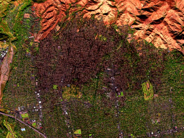
WDTS is an ongoing field investigation focused on observing California’s ecosystems and providing information on natural disasters through multispectral imagery.
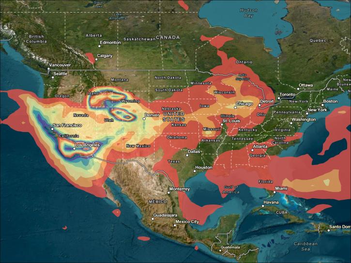
These data products were generated with support from NASA’s Atmospheric Composition Campaign Data Analysis and Modeling program and the NASA High-End Computing Program through the NASA Advanced Supercomputing Division at Ames Research Center.
SHOWING 5 OF 205