We are in the process of migrating all NASA Earth science data sites into Earthdata from now until end of 2026. Not all NASA Earth science data and resources will appear here until then. Thank you for your patience as we make this transition.
Read about the Web Unification Project
Featured Projects
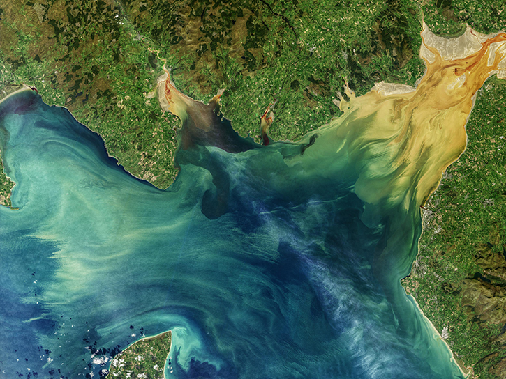
NASA's Applied Remote Sensing Training (ARSET) program teaches people to use Earth-observing data in their environmental management and decision-making.

At night, satellite images of Earth capture a uniquely human signal—artificial lighting. Remotely-sensed lights at night improve our understanding of interactions between human systems and the environment.
Explore All Projects
Filters
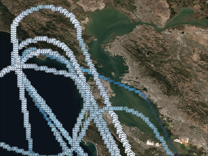
The primary goal of STRAT was to collect measurements of the change of long-lived tracers and functions of altitude, latitude, and season.
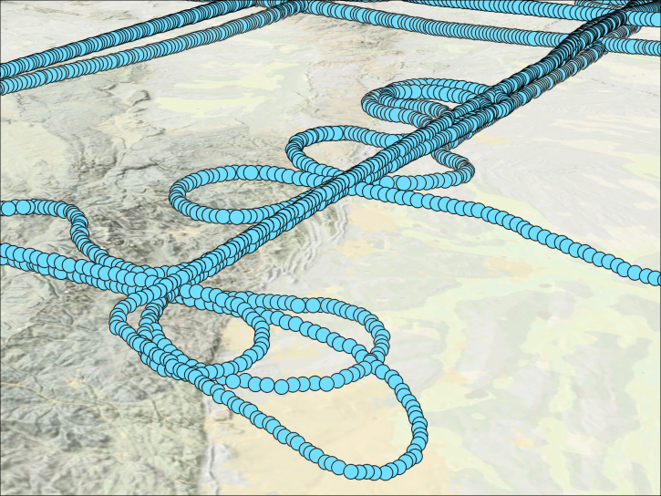
SUCCESS was a field study which investigated the relationships between subsonic aircraft and contrails, cirrus clouds, and atmospheric chemistry.
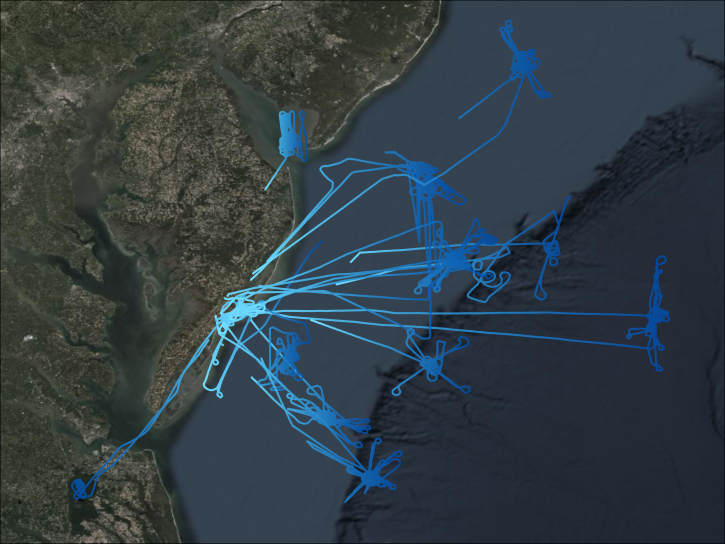
TARFOX aimed to reduce uncertainties in the effects of aerosols on climate by determining the direct radiative impacts, as well as the chemical, physical, and optical properties, of the aerosols carried over the western Atlantic Ocean from the United States.
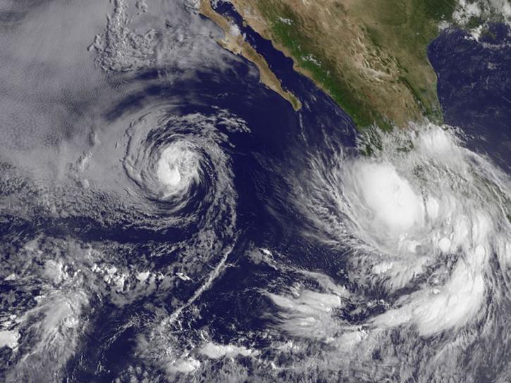
NASA's Tropical Composition, Cloud and Climate Coupling (TC4) project investigated the structure, properties, and processes in the tropical Eastern Pacific.

The Tropical Cloud Systems and Processes (TCSP) campaign studied the dynamics and thermodynamics of precipitating cloud systems and tropical cyclones.

THORpex is a ten-year international research program to accelerate improvements in short range weather predictions and warnings over the Northern Hemisphere.
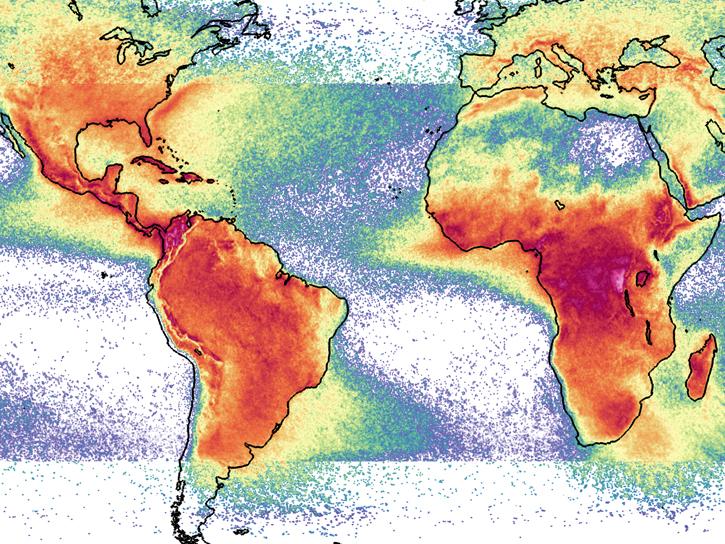
The global thunder hour dataset aims to create a core set of global observations to study weather long term.
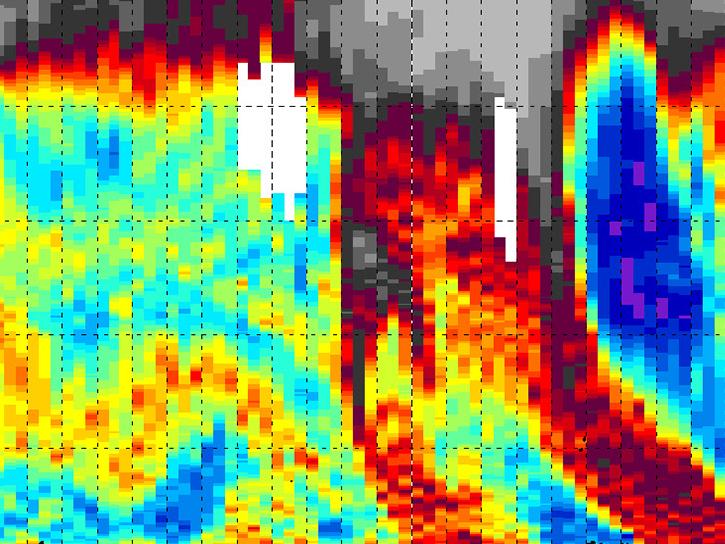
TolNet provides high spatio-temporal measurements of ozone from near the surface to the top of the troposphere.
SHOWING 8 OF 201