We are in the process of migrating all NASA Earth science data sites into Earthdata from now until end of 2026. Not all NASA Earth science data and resources will appear here until then. Thank you for your patience as we make this transition.
Read about the Web Unification Project
Featured Projects
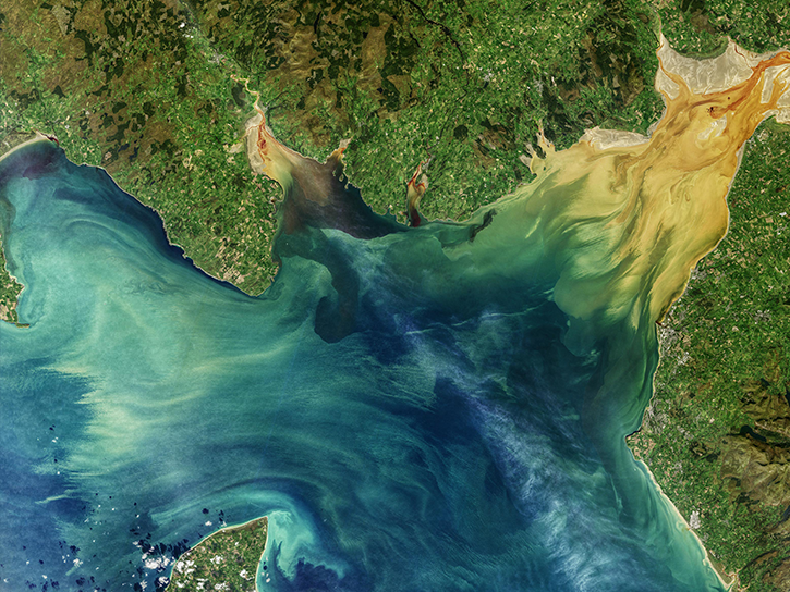
NASA's Applied Remote Sensing Training (ARSET) program teaches people to use Earth-observing data in their environmental management and decision-making.

At night, satellite images of Earth capture a uniquely human signal—artificial lighting. Remotely-sensed lights at night improve our understanding of interactions between human systems and the environment.
Explore All Projects
Filters
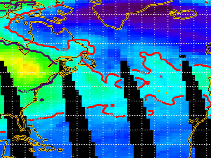
SONEX was an international, multi-organizational mission that took place in October-November 1997.
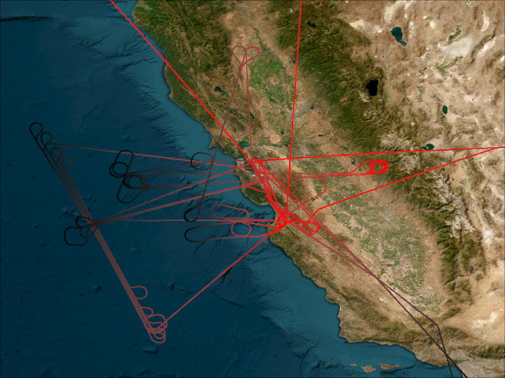
SPADE’s primary goal was to quantify key chemical reaction rates affecting ozone production and loss.
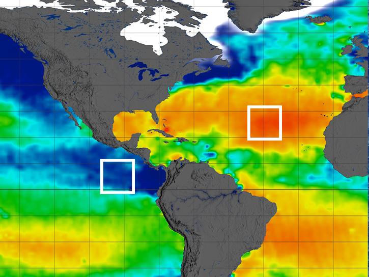
The SPURS project was a series of science process studies and associated oceanographic field campaigns that aimed to elucidate key mechanisms responsible for near-surface salinity variations in the oceans.
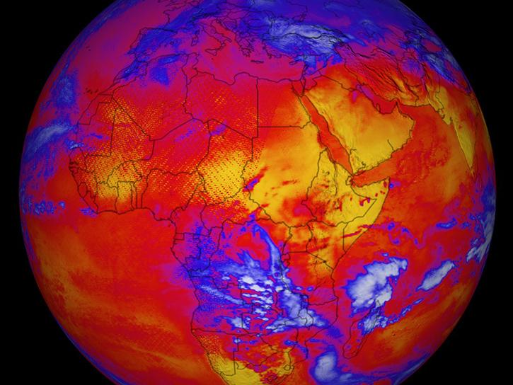
The NASA/GEWEX Surface Radiation Budget Release 4-IP datasets contain global 3-hourly, daily, monthly/3-hourly, and monthly averages of surface and top-of atmosphere longwave and shortwave radiative flux parameters on a 1°x1° grid.
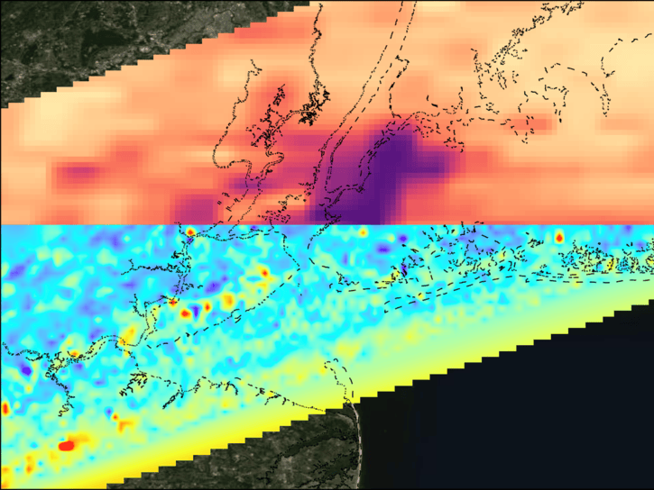
The STAQS project integrated TEMPO satellite observations with traditional ground-based monitoring to improve understanding of air quality science.
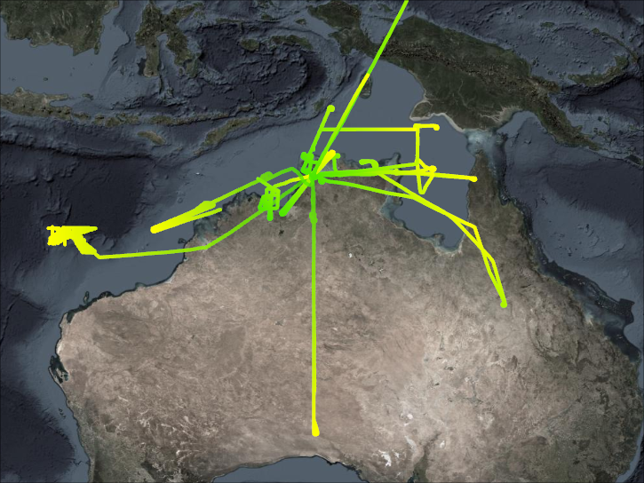
STEP investigated mechanisms and rates of irreversible transfer of mass, trace gases, and aerosol from troposphere to stratosphere and in the lower stratosphere and explained the observed dryness of the stratosphere.
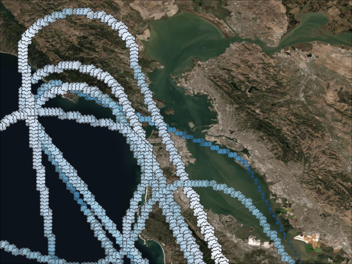
The primary goal of STRAT was to collect measurements of the change of long-lived tracers and functions of altitude, latitude, and season.
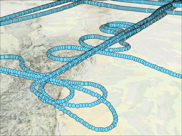
SUCCESS was a field study which investigated the relationships between subsonic aircraft and contrails, cirrus clouds, and atmospheric chemistry.
SHOWING 8 OF 199